


+ 38
McKinney Half Century
Cycling Route
Details
49.85 mi
2,356 ft
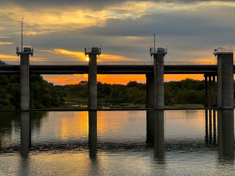
50 mile option of McKinney Falls for Texas 4000
Created By
Brooke N

Route and Elevation
Segments
| Name | Distance | Elev. Diff. | Avg. Grade |
|---|---|---|---|
| East Dean Keaton to Red (no light issue) | 0.39 mi | 49 ft | 2.4% |
| Medical to Red | 0.13 mi | 33 ft | 4.4% |
| Chicon SB Manor to MLK | 0.24 mi | -10 ft | -0.2% |
| around the bus and up the hill | 0.16 mi | 36 ft | 4.1% |
| Wickersham Ln Hill | 0.52 mi | 79 ft | 2.9% |
| E Oltorf St Climb | 0.40 mi | 66 ft | 2.5% |
| headwind kinda route | 6.85 mi | 259 ft | 0.4% |
| McKinney Falls 2 Old Lockhart | 5.67 mi | 256 ft | 0.5% |
| Onion Creek to DG Collins | 0.85 mi | 177 ft | 4.0% |
| TPWD five | 4.99 mi | 194 ft | 0.6% |
| Tues Nighter First Leg | 2.64 mi | 131 ft | 0.5% |
| Tue Nighter wind in your face HILL | 0.52 mi | 82 ft | 2.8% |
| Carl - southbound | 0.83 mi | 59 ft | 0.4% |
| FM1625 Northbound Evelyn to Colton Bluff Springs | 3.89 mi | -95 ft | -0.5% |
| Beware of cracks | 4.71 mi | -85 ft | -0.0% |
| Colton Bluff Springs Rd Westbound | 1.98 mi | 95 ft | 0.9% |