Últimas duas semanas

Mês passado


+ 194
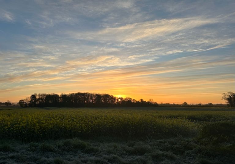
WOTHR Day 2 Cracoe to York
Rota de ciclismo
Detalhes
62,27 milhas
3 748 pés
62 miles 3747 ft elevation
Criado por
graham seaman

Rota e elevação
Segmentos
| Nome | Distância | Dif. Elevação | Inclinação Média |
|---|---|---|---|
| Thorpe Lane W to E | 2,41 milhas | 187 pés | 0,5% |
| Thorpe Lane Climb | 0,86 milhas | 187 pés | 3,7% |
| Craven Arms | 0,21 milhas | 62 pés | 5,5% |
| pub to pub Appletreewick | 0,09 milhas | -3 pés | -0,8% |
| Appletreewick | 0,11 milhas | 39 pés | 6,7% |
| New Road / Stumpcross climb | 4,34 milhas | 804 pés | 3,5% |
| Extended Grassington Climb | 2,00 milhas | 413 pés | 3,8% |
| Descent to Patley Bridge petrol station | 2,20 milhas | -932 pés | -8,0% |
| Tofe Gate Wood to Pateley Bridge B6265 | 1,23 milhas | -597 pés | -9,1% |
| The High Street | 0,16 milhas | 46 pés | 5,5% |
| Climb out of Pateley Bridge | 0,91 milhas | 187 pés | 3,9% |
| Kick from Glasshouses Cross Roads | 0,20 milhas | -66 pés | -6,3% |
| Lupton Bank drop | 0,73 milhas | -148 pés | -3,4% |
| Smelthouses Double | 0,35 milhas | 164 pés | 8,6% |
| Hollin Wood Climb | 0,60 milhas | 236 pés | 7,3% |
| Brimham Rocks | 1,74 milhas | 75 pés | 0,8% |
| Brimham Down | 2,65 milhas | -387 pés | -2,8% |
| Brimham Fast Downhill | 3,58 milhas | -561 pés | -3,0% |
| The Bacon Buttie Sprint! | 0,29 milhas | 20 pés | 0,7% |
| Get a good run up | 0,49 milhas | 46 pés | 1,8% |
| How Hill | 0,47 milhas | 98 pés | 4,0% |
| Fountain Abbey Sprint | 0,84 milhas | -161 pés | -3,6% |
| Deer Sprint | 0,45 milhas | -62 pés | -2,4% |
| studley sprint | 0,80 milhas | -115 pés | -2,5% |
| Wesgate sprint | 0,07 milhas | 20 pés | 5,0% |
| Pottery Lane Sprint | 0,50 milhas | 33 pés | 1,2% |
| Roecliffe run- jct to jct | 5,42 milhas | -72 pés | -0,2% |
| Bishop Monkton to A1 Roundabout | 5,10 milhas | -49 pés | -0,1% |
| Sprint to Roecliff | 1,25 milhas | -20 pés | -0,2% |
| half monkton to roecliffe roundabout | 2,41 milhas | -36 pés | -0,1% |
| long straight | 0,88 milhas | -13 pés | -0,1% |
| Holbeck Straight Sprint | 0,34 milhas | -16 pés | -0,6% |
| Post Office Rise | 0,17 milhas | 30 pés | 3,1% |
| Boat Lane Sprint | 0,35 milhas | 13 pés | 0,2% |
| Aldwark to Linton 30 sign | 1,90 milhas | -13 pés | -0,1% |
| robs silly sprint idea | 1,33 milhas | -10 pés | -0,0% |
| Newton to Linton | 1,59 milhas | 33 pés | 0,2% |
| Linton Newsagent - Newton Pub | 1,08 milhas | 26 pés | 0,2% |
| Linton-Newton Straight | 0,51 milhas | -16 pés | -0,3% |
| idiots | 0,14 milhas | 3 pés | 0,5% |
| sidings south | 0,55 milhas | -7 pés | -0,1% |
| blasssst offf | 0,90 milhas | -20 pés | -0,3% |
| bridge-bridge | 1,86 milhas | -30 pés | -0,0% |
| down overton | 0,74 milhas | -23 pés | -0,5% |
| cycle track skelton golf-a1237 | 1,26 milhas | -20 pés | -0,2% |
| Stripe Lane - Water End - Route 65 | 2,94 milhas | -23 pés | -0,0% |
| Sustrans 65 into York | 1,43 milhas | 20 pés | 0,2% |
| clifton park dash | 0,60 milhas | -7 pés | -0,2% |
| Sycamore/Springfield Pass | 0,25 milhas | 13 pés | 1,0% |
| GT to Gillygate | 0,19 milhas | 7 pés | 0,6% |