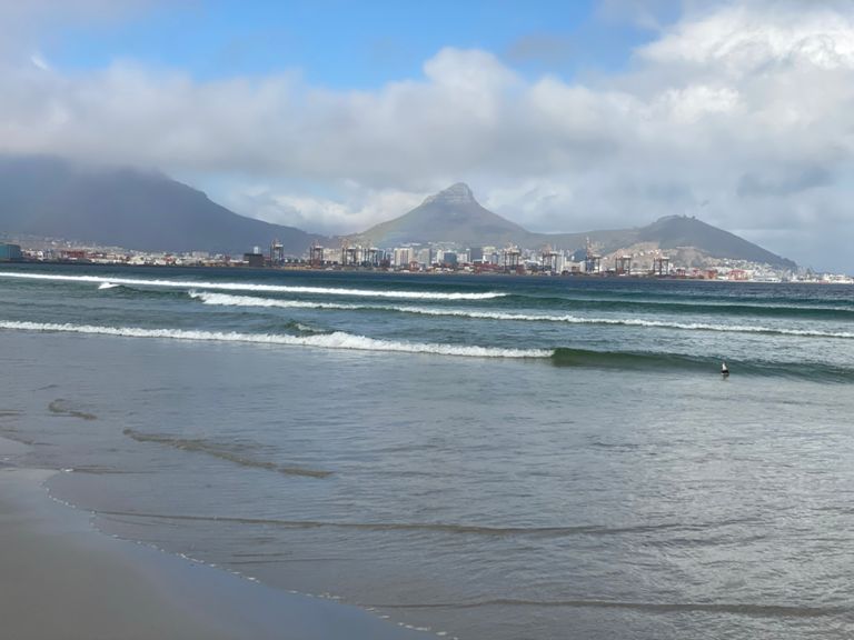
| Marine Drive Dash | 3,32 км | 12 м | 0,3 % |
| Harbour till woodbridge island | 3,92 км | -9 м | -0,1 % |
| Marine drive sprint | 1,55 км | 3 м | 0,0 % |
| Flea Market cycle path to Paddocks | 4,83 км | 9 м | 0,0 % |
| Paarden Eiland - Dolphin Beach | 8,78 км | 19 м | 0,0 % |
| Cycle Path - Part 3 - North Bound | 1,04 км | 9 м | 0,3 % |
| Marine Dr Sprint | 0,46 км | 2 м | 0,1 % |
| Lagoon sprint | 2,55 км | 2 м | 0,1 % |
| Cycle Path - Part 4 - North Bound | 3,20 км | -3 м | -0,0 % |
| Winds of Doom | 5,43 км | -19 м | -0,0 % |
| Sunset beach Challenge | 3,06 км | 7 м | 0,1 % |
| Sunset Beach Sprint | 0,80 км | -3 м | -0,1 % |
| dashing past the shops | 1,44 км | 6 м | 0,4 % |
| Marine lights to Blaauwberg lights | 0,63 км | 4 м | 0,6 % |
| Blaauwberg lights to Link lights | 0,95 км | -3 м | 0,0 % |
| Over the Humps Sandown > Porterfield | 1,01 км | 4 м | 0,2 % |
| Northridge Crescent Climb | 0,74 км | 120 м | 16,1 % |
| Contermanskloof hammer | 1,63 км | 27 м | 1,1 % |
| Vissershok from the 4 way crossing | 3,03 км | 179 м | 5,9 % |
| Vissershok Steep Section | 1,05 км | 95 м | 9,0 % |
| D'Urbanvale to Circle | 0,99 км | 11 м | 1,0 % |
| D'Urbanvale to Malanshoogte | 8,38 км | -70 м | -0,7 % |
| Adderley Down | 14,69 км | -104 м | -0,6 % |
| climb to spes bona | 1,81 км | 35 м | 1,8 % |
| Oppi Koppi Climb from Durbanville | 0,82 км | 23 м | 2,8 % |
| Oppi Koppi Descent to Mosselbank River | 3,36 км | -70 м | -2,1 % |
| Philadelphia Rd climb 1 | 1,65 км | 35 м | 1,9 % |
| Malmesbury silos | 8,24 км | 29 м | 0,3 % |
| Spes Bona to Graanendal | 4,89 км | 18 м | 0,2 % |
| Shooting Range to Graanendal | 2,21 км | 11 м | 0,5 % |
| Robot tot Robot Brackenfell Blvd2Lube | 1,17 км | 11 м | 0,8 % |
| Bowlers Ave Climb | 0,84 км | 93 м | 11,0 % |
| RaceCourse Sprint: St John to TygerValley | 1,02 км | -33 м | -3,2 % |
| Altydgedacht to Durbanville Hills | 7,36 км | -154 м | -1,3 % |
| Traffic lights to Bloemendal | 2,25 км | 14 м | 0,3 % |
| Bloemendal to Nitida | 1,20 км | 56 м | 4,6 % |
| Tiekiedraai Descent | 2,83 км | -136 м | -4,8 % |
| HillCrest to Durbanville Hills | 2,23 км | -79 м | -3,4 % |
| Tikkiedraai descent | 2,56 км | -86 м | -3,3 % |
| Klein RoosBoom to Durbanville Hills | 0,70 км | 6 м | 0,4 % |
| D'Hills to Tanks | 4,61 км | -83 м | -1,8 % |
| Burgundy to Circle in Bothasig | 1,07 км | -8 м | -0,8 % |
| De Grendel Avenue | 1,17 км | -4 м | -0,1 % |
| Vryburger Avenue | 1,38 км | -3 м | -0,1 % |
| Edgemead Montague sprint | 1,43 км | -6 м | -0,0 % |
| Montague Koeberg sprint | 2,20 км | -9 м | -0,3 % |
| Marine Drive | 0,82 км | 6 м | 0,7 % |
| Powering to Town | 6,29 км | 9 м | 0,0 % |
| Cycle Path - Part 3 - South Bound | 0,99 км | -7 м | -0,1 % |
| N1 Flamme Rouge | 1,05 км | -3 м | -0,1 % |


