Strava
Мобильное приложение
Функции
Оформить подписку
Карты
Истории
Зарегистрироваться
Войти
+ 194
Mission: Ride the Roof
Велосипедный маршрут
Сохранить
Поделиться
Встроить
Копировать URL
Экспорт TCX
Экспорт GPX
Печать
Описание
48,89 км
1 462 м
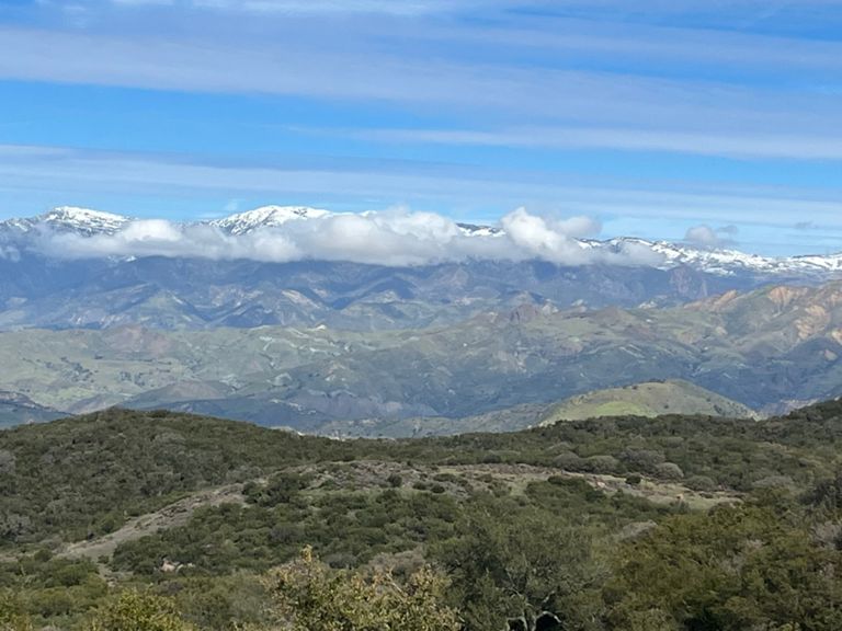
Start from Mission Santa Barbara, West to 154, then up to El Camino Cielo, then Gibraltar Road back down to 192. Drink Beer.
Автор
Thom C.
17 марта 2015 г.
·
Открытый
Маршрут и высота
Участки
Имя
Дистанция
Разн. выс.
Средн. уклон
Alamar Climb
0,88 км
26 м
2,9 %
Foothill Bump (Laureles to Laurel)
0,22 км
14 м
6,2 %
Ontare to La Cumbre Northbound
1,47 км
24 м
0,2 %
Foothill Northbound Willowglen Bump
0,84 км
22 м
0,9 %
la cumbre to Cieneguitas
0,78 км
-44 м
-5,6 %
154 Foothill to Camino Cielo
11,44 км
584 м
5,1 %
Mini Mt. Baldy
19,30 км
972 м
5,0 %
154 to San Antonio Creek
2,45 км
107 м
4,4 %
154 Foothill to OSM
7,30 км
329 м
4,5 %
Corners
0,11 км
-16 м
-14,2 %
Bridge to KOM
9,36 км
500 м
5,3 %
San Marcos Pass Rd Climb
1,28 км
61 м
4,8 %
Foothill to Hwy 154 Summit
8,62 км
465 м
5,4 %
San Marcos Trout Club Climb
1,73 км
112 м
6,4 %
San Marcos Pass - OSM to Kinevan Rd.
2,49 км
155 м
6,2 %
Camino Cielo 154 to PC
3,36 км
181 м
5,4 %
154 to La Cumbre
14,65 км
531 м
3,5 %
154 to Glass Factory
9,84 км
406 м
2,8 %
Camino Cielo PC to La Cumbre Peak
11,38 км
354 м
3,0 %
Painted Cave to Repeater Peak
4,45 км
225 м
5,0 %
Arroyo Burro to almost La Cumbre Peak
4,29 км
268 м
6,2 %
Camino Cielo steep part to summit
2,03 км
170 м
8,3 %
LC to Cielito
13,01 км
-856 м
-6,6 %
LC to Cielito
11,78 км
-792 м
-6,7 %
The Last small hill
1,02 км
28 м
2,6 %
Gibraltar DH
9,58 км
-751 м
-7,8 %
Gibralter DH 2
10,16 км
-777 м
-7,5 %
I guess we're gonna have to keep creating a new one of these...
9,79 км
-743 м
-7,6 %
Gb DH temp
9,67 км
-753 м
-7,8 %
Hitting Rock Bottom
6,70 км
-497 м
-7,4 %
Gibraltar DH -West Fork to Mt. Calvary
2,97 км
-211 м
-6,9 %
Overlook to El Cielo Rd
3,30 км
-221 м
-6,7 %
El Cielito to Reservoir DH
0,86 км
-71 м
-8,2 %
Mnt/GIb to Mission ridge dh
0,34 км
-23 м
-6,6 %
S Turns to Mission
1,94 км
-104 м
-5,3 %
If you feel it's unsafe don't ride it!
1,95 км
-87 м
-4,3 %
Mountain Roll
1,79 км
-86 м
-4,8 %
DH - S
0,25 км
-14 м
-5,3 %
zippy ZAP
1,39 км
-60 м
-4,3 %
Berms on the Road: Safety Segment
1,09 км
-62 м
-5,5 %