Strava
行動版
功能
訂閱
地圖
故事
註冊
登入
上個月
+ 157
WVS to Windsor 11/11
自行車路線
儲存
分享
內嵌
複製 URL
匯出 TCX
匯出 GPX
列印
詳細資訊
80.77 公里
566 公尺
Coffee at 45km.
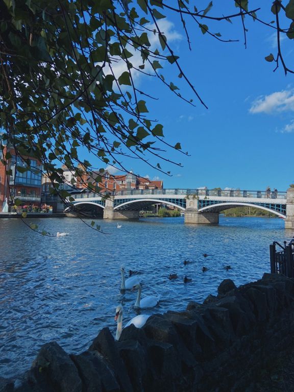
Crocus, Dorney Court Kitchen Garden, Court Lane , Dorney.
建立者:
Anne Wright Watford Velos
2018年11月3日
·
公開
路線和海拔
路段
名稱
距離
海拔差異
平均坡度
Deacons Hill
0.40 公里
12 公尺
3.1%
That impending sense of doom
1.91 公里
-14 公尺
-0.3%
Sandy Snake downhill
0.50 公里
-14 公尺
-2.4%
Ducks Hill Lift off
0.32 公里
22 公尺
6.8%
Park Ave to Sharps
0.66 公里
-13 公尺
-1.1%
Whitebear RA To Austin's Ln Sprint
1.15 公里
-18 公尺
-1.5%
West Ruislip railway bridge southbound
0.35 公里
-3 公尺
-0.8%
West Ruislip to Austin's Lane Sprint
0.58 公里
-4 公尺
-0.7%
Glebe Ave to Freezeland Way
1.38 公里
-6 公尺
-0.3%
Long Lane Hillingdon
2.39 公里
21 公尺
0.7%
Long Lane Lump
0.49 公里
16 公尺
3.1%
Iver Lane Climb
1.41 公里
11 公尺
0.3%
Iver High Street
1.38 公里
-9 公尺
-0.1%
To Langley station!
2.08 公里
-7 公尺
-0.3%
Up to Spencer Road
1.94 公里
-6 公尺
-0.1%
Yew Tree Road Sprint
0.61 公里
-4 公尺
-0.7%
Datchet Road to Eton Road
1.81 公里
-8 公尺
-0.3%
Beaulieu Bash
0.45 公里
-3 公尺
-0.7%
Datchet to Old Windsor Sprint
1.92 公里
-4 公尺
-0.1%
Datchett to Windsor short effort
3.59 公里
11 公尺
0.1%
Old Windsor drop
0.80 公里
-5 公尺
-0.6%
Albert Road towards Windsor (Westbound)
1.37 公里
10 公尺
0.7%
Windsor Twistys
0.59 公里
-9 公尺
-1.3%
Kings Rd Full Gas 2
0.89 公里
-7 公尺
0.0%
Along the Kings Rd
0.75 公里
-6 公尺
-0.4%
Victoria Barracks Sprint
0.32 公里
1 公尺
0.2%
Castle Incline
0.49 公里
13 公尺
2.5%
Up and over
0.56 公里
-9 公尺
-0.5%
Windsor Castle race v4.0
0.40 公里
-11 公尺
-2.4%
Brocas Street to High Street
0.55 公里
2 公尺
0.1%
Eton to Eton Wick
2.07 公里
4 公尺
0.0%
Sign to sign, Eton to Eton Wick
0.92 公里
-2 公尺
-0.2%
Bridge to Bump
1.20 公里
3 公尺
0.0%
Bridge to Grid
2.85 公里
4 公尺
0.0%
Grid to Grid (Eton Wick to Dorney)
1.12 公里
0 公尺
0.0%
Cow pat
0.30 公里
2 公尺
0.1%
Lake End Road Bridge Dash
0.34 公里
6 公尺
1.7%
Hawthorn Ln E (Grove Rd to Bedford Dr)
1.55 公里
25 公尺
1.4%
Burnham Beeches
0.73 公里
20 公尺
2.8%
Bedford Drive N
0.33 公里
-4 公尺
-0.8%
Templewood starter
0.92 公里
-4 公尺
0.0%
Templewood Lane to Fulmer
4.60 公里
-39 公尺
-0.3%
Stoke Common Road (East)
1.43 公里
-18 公尺
-1.3%
Fulmer Road - Oxford Road
2.21 公里
38 公尺
1.7%
Fulmer Hill
0.53 公里
19 公尺
3.4%
EB Red Hill
1.25 公里
-29 公尺
-2.3%
Red Hill
0.60 公里
-27 公尺
-3.6%
Flat n Fast
0.55 公里
2 公尺
0.4%
Church Hillclimb (Steepest Part)
0.61 公里
34 公尺
5.6%
12% Rose & Crown
0.52 公里
26 公尺
4.1%