

+ 34
Bridgnorth Marathon
Running Route
Hard
43.22 km
1,038 m
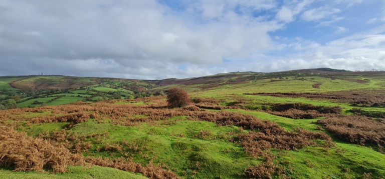
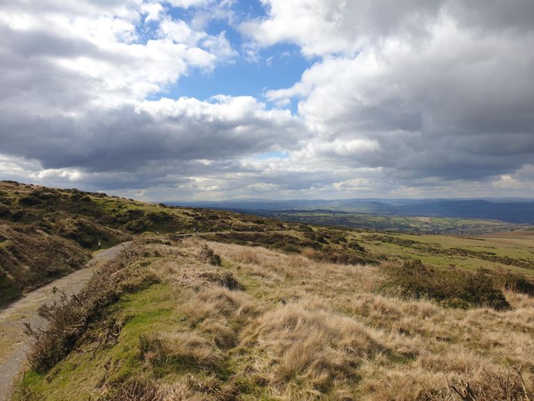
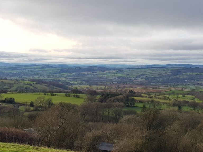
The route experiences many elevation changes challenging the fittest runners. The nine mile run from Bridgnorth out to Ditton Priors is tough enough on its own as there are many hills and twisting roads along the way.
But once runners reach the base of the Brown Clee on the edge of Ditton Priors they will be faced with The Incline, a near one mile ascent to the top of the hill where the summit is at 1770 feet (540 metres)! Having reached the top, near the iconic radio masts, the route descends rapidly, across to Burf Bank, then round to Cockshutford. Runners then make their way back round to Bent Lane in Ditton Priors where they rejoin the walk route.
Runners should not underestimate the seriousness of the challenge.
Created By
Scott M

Route and Elevation
Segments
| Name | Distance | Elev. Diff. | Avg. Grade |
|---|---|---|---|
| Back of Oldbury from by Bypass | 0.44 km | 17 m | 3.3% |
| B4364 Climb | 1.13 km | 55 m | 4.9% |
| B4364 Climb | 1.34 km | 75 m | 5.6% |
| lanepublane | 0.48 km | 9 m | 1.2% |
| lane too pheasant pub good meal | 0.25 km | 8 m | 3.3% |
| Stanbroughs Wood Climb | 1.50 km | 107 m | 7.1% |
| Summit-Pole Covert | 1.35 km | -88 m | -6.5% |
| The Granary Climb | 0.55 km | 54 m | 9.6% |
| Squirrel Bank | 0.21 km | 15 m | 7.0% |