


+ 16
ABYYT Day 2
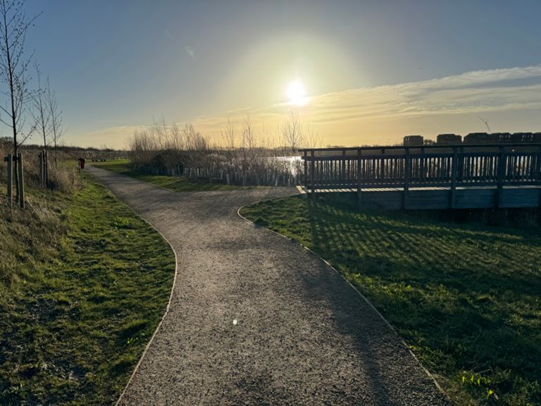
Rota de ciclismo
Detalhes
68,08 milhas
441 pés
Criado por
Paul M

Rota e elevação
Segmentos
| Nome | Distância | Dif. Elevação | Inclinação Média |
|---|---|---|---|
| Can You Class This As A Climb? | 0,14 milhas | 13 pés | 0,2% |
| Down the Rabbit Hole | 0,75 milhas | 20 pés | 0,2% |
| Windy Corner Pain Drain | 1,54 milhas | -13 pés | -0,0% |
| Holbeach Turn | 1,43 milhas | -7 pés | -0,0% |
| PE12 to Ravens Bank | 2,99 milhas | -16 pés | -0,1% |
| B1187 (North to South) | 4,25 milhas | -13 pés | 0,0% |
| Parson to Murrow Sprint | 0,86 milhas | 7 pés | 0,1% |
| Flaggrass to station | 0,60 milhas | 3 pés | 0,0% |
| Flaggrass - Station Road | 1,13 milhas | -7 pés | -0,0% |
| Ride through nowhere to somewhere | 5,70 milhas | 36 pés | 0,0% |
| Mill Hill to Doddington Clocktower | 2,42 milhas | 26 pés | 0,2% |
| March round Dodd clock | 2,33 milhas | 16 pés | 0,1% |
| King of Doddington | 1,07 milhas | -16 pés | -0,3% |
| Newgate to Primrose | 0,74 milhas | -13 pés | 0,0% |
| forty foot to A141 round | 1,02 milhas | -10 pés | -0,0% |
| Chatteris rise | 0,51 milhas | 13 pés | 0,4% |
| Chatteris high Street | 0,84 milhas | 20 pés | 0,5% |
| Sign to Sign | 4,00 milhas | 7 pés | 0,0% |
| Scummers to Earith Shorty | 2,05 milhas | 20 pés | 0,1% |
| Somersham to Earith | 1,97 milhas | 20 pés | 0,1% |
| B1050 to Earith | 1,33 milhas | -10 pés | -0,1% |
| Earith to Willingham | 3,06 milhas | 23 pés | 0,1% |
| Bridge roundabout to Willingham | 2,60 milhas | -13 pés | -0,0% |
| Hawothia lockwoodii | 4,52 milhas | 30 pés | 0,1% |
| co-op-cycle lane willingham | 0,50 milhas | -10 pés | -0,0% |
| Amiss Alley | 1,22 milhas | 13 pés | 0,2% |
| Willingham to Girton via Busway | 4,63 milhas | 20 pés | 0,1% |
| Willingham to Busway Cycle Path | 1,01 milhas | 13 pés | 0,1% |
| Guided Busway: Longstanton to Reynold's Drove | 0,94 milhas | -13 pés | -0,2% |
| Busway Longstanton to Westwick | 2,39 milhas | 13 pés | 0,0% |
| Busway - Longstanton to Westwick (C4) | 2,25 milhas | -16 pés | -0,0% |
| Longstanton to Histon busway | 3,25 milhas | 16 pés | 0,0% |
| Purple Rain | 0,69 milhas | -10 pés | -0,2% |
| Longstanton Busway stop to Girton | 3,88 milhas | 16 pés | 0,0% |
| La petite mort | 1,17 milhas | 13 pés | 0,1% |
| Busway Reynolds Drove to Westwick | 1,36 milhas | 16 pés | 0,1% |
| Nirvana | 0,49 milhas | 7 pés | 0,2% |
| oakington to new rd | 1,03 milhas | 10 pés | 0,1% |
| Launch from Oakington | 0,29 milhas | -7 pés | -0,3% |
| Busway - Westwick to Park Ln 1km sprint | 0,59 milhas | -10 pés | -0,4% |
| Busway to Girton Sprint | 0,32 milhas | 7 pés | 0,3% |
| New Road Sprint | 0,24 milhas | 3 pés | 0,1% |
| New Road (westwards) | 0,48 milhas | 3 pés | 0,0% |
| The Full Girton Climb | 1,85 milhas | 52 pés | 0,5% |
| New Rd to A428 bridge | 1,33 milhas | 46 pés | 0,5% |
| girton sign to sign towards town | 1,64 milhas | 66 pés | 0,7% |
| Girton Rise | 0,19 milhas | 20 pés | 1,9% |
| The Girton 'Hill' | 0,57 milhas | 43 pés | 1,4% |
| Girton | 1,40 milhas | 43 pés | 0,6% |
| hills of ale | 0,21 milhas | 26 pés | 2,1% |