


+ 15
Golden Gate Canyon Loop
Rota de ciclismo
Detalhes
56,94 milhas
6 542 pés
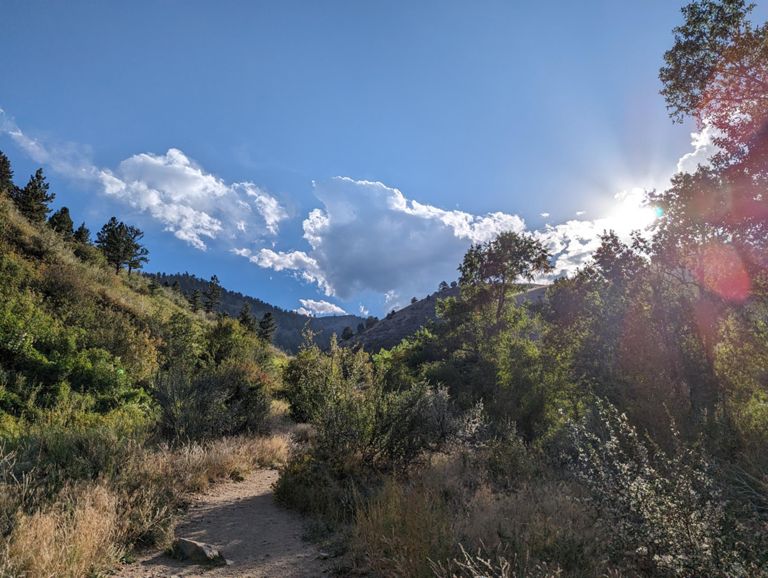
Starting from Higher Grounds in Golden, CO.
Criado por
Andrew Test Valko

Rota e elevação
Segmentos
| Nome | Distância | Dif. Elevação | Inclinação Média |
|---|---|---|---|
| Washington Wall | 0,13 milhas | -10 pés | -1,4% |
| Washington 58->93 | 0,69 milhas | 128 pés | 3,5% |
| GGC: Hwy93 to Mt Galbraith | 1,33 milhas | 361 pés | 5,1% |
| Golden Gate Canyon (93 to 119) | 17,66 milhas | 3 340 pés | 3,6% |
| GGC: Hwy93 to Crawford Gulch Rd | 3,91 milhas | 961 pés | 4,7% |
| GGC to Park Entrance | 6,28 milhas | 1 575 pés | 4,7% |
| GGC - Complete Climb | 7,37 milhas | 2 822 pés | 7,2% |
| Golden Gate - 93 Parking Lot to 119 | 17,72 milhas | 3 383 pés | 3,6% |
| ggc accurate? | 11,14 milhas | 2 766 pés | 4,7% |
| GG canyon- catamount to crawford climb | 3,70 milhas | 896 pés | 4,6% |
| Golden Gate to Golden Gate DR | 11,22 milhas | 2 703 pés | 4,6% |
| Golden Gate To Guy Hill Road | 6,38 milhas | 1 696 pés | 5,0% |
| 09/14/10 Golden, CO | 1,16 milhas | 289 pés | 4,7% |
| Golden Gate Canyon Rd Climb | 0,90 milhas | 276 pés | 5,8% |
| Golden Gate Canyon Rd Climb | 1,48 milhas | 358 pés | 4,6% |
| Guy Hill Rd Climb | 0,84 milhas | 282 pés | 6,3% |
| Guy Hill Rd to Robinson Road Chicane | 1,19 milhas | -315 pés | -3,6% |
| Near Mt Tom | 3,65 milhas | 1 309 pés | 6,8% |
| Bear Dr Climb | 0,90 milhas | 427 pés | 8,9% |
| Golden Gate ranger station to CO119 | 5,00 milhas | 1 037 pés | 3,9% |
| Golden Gate Canyon Road Climb | 0,70 milhas | 354 pés | 9,4% |
| 09/14/10 Golden, CO | 2,63 milhas | 837 pés | 6,0% |
| P2P - Golden Gate to Rollinsville | 8,31 milhas | -965 pés | -2,1% |
| Meadowlake Dr Climb | 1,41 milhas | 344 pés | 4,6% |
| Store stop to Coal Creek | 7,59 milhas | -689 pés | -1,2% |
| WonderVu KOM Sprint | 0,41 milhas | 102 pés | 4,4% |
| Colorado 119 Climb | 1,08 milhas | 269 pés | 4,7% |
| Coal Creek - Top to Bottom - Whole Tamale | 18,66 milhas | -2280 pés | -2,1% |
| Hwy 72 - 119 to Pinecliffe - Coal Creek Canyon | 4,33 milhas | -387 pés | -1,6% |
| Pinecliffe to Wondervu | 3,23 milhas | 653 pés | 3,8% |
| Pinecliffe to Turnout | 0,32 milhas | 95 pés | 5,4% |
| Pinecliffe to Wondervu | 3,03 milhas | 627 pés | 3,8% |
| Black Dog Gulch Climb | 0,41 milhas | 138 pés | 5,7% |
| Pinecliffe to Indian Peak | 2,51 milhas | 627 pés | 4,5% |
| 09/14/10 Golden, CO | 0,98 milhas | 269 pés | 5,1% |
| 09/14/10 Golden, CO | 1,42 milhas | 427 pés | 5,7% |
| Coal Creek descent | 10,64 milhas | -2254 pés | -4,0% |
| Coal Creek Descent Wondervu to RR tracks | 8,26 milhas | -1896 pés | -4,3% |
| Wondervu to Twin Spruce | 3,84 milhas | -1030 pés | -5,1% |
| Coal Creek Canyon Descent | 7,53 milhas | -1762 pés | -4,4% |
| Twin Spruce to 93 | 6,70 milhas | -1319 pés | -3,7% |
| PlainviewTo93 | 1,61 milhas | -269 pés | -3,2% |
| 93 to Ford Street | 6,46 milhas | -443 pés | -0,7% |
| Hwy 93 Descent Coal Creek to 82nd Ave | 0,97 milhas | -240 pés | -4,1% |
| Colorado 93 Climb | 0,53 milhas | 276 pés | 9,8% |
| 82nd to "60th" on CO93 | 2,49 milhas | 226 pés | 0,0% |
| HWY 93 - 82nd to 64th | 1,89 milhas | -217 pés | -0,8% |
| Ford Road Descent | 1,51 milhas | -312 pés | -3,9% |
| Ford Street DH to 10th | 0,45 milhas | -151 pés | -6,3% |
| Ford Street DH | 0,33 milhas | -62 pés | -3,5% |