
30 derniers jours

30 derniers jours


+ 51
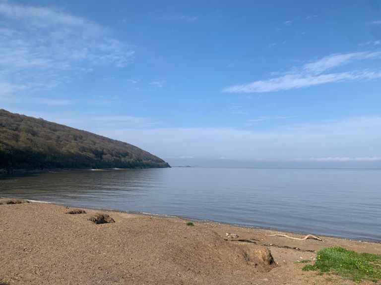
Sand Bay Tour
Itinéraire de sortie à vélo
Détails
10,6 mi
901 pi
An excursion out towards Sand Bay, looping around Sand Point and returning via Milton
Créée par
Charlie Cox

Itinéraire et dénivelé
Segments
| Nom | Distance | Dénivelé | Pente moy. |
|---|---|---|---|
| Climb towards Norton! | 0,25 mi | 52 pi | 3,8 % |
| Double Entendre AKA Anson's Corner | 0,35 mi | 82 pi | 4,4 % |
| Anson sprint | 0,08 mi | 79 pi | 16,4 % |
| Anson col de mare | 0,09 mi | 85 pi | 16,9 % |
| Sprint to Sand Point | 1,64 mi | 36 pi | 0,0 % |
| sand bay rush | 0,76 mi | 39 pi | 0,0 % |
| Great View From Up Top | 0,10 mi | 43 pi | 7,8 % |
| Gate to Hill Top | 0,23 mi | 43 pi | 2,9 % |
| Down around the tree | 0,55 mi | 39 pi | 0,0 % |
| Mad Cows | 0,28 mi | -62 pi | -4,0 % |
| Norton Lane? | 0,16 mi | 59 pi | 6,9 % |
| The Back Door | 0,22 mi | 135 pi | 11,4 % |
| Worlebury Drop | 0,34 mi | -171 pi | -9,4 % |
| Spring Hill Blast | 0,26 mi | 33 pi | 1,0 % |
| Church Road | 0,63 mi | -59 pi | -1,7 % |
| Ride it like Seabiscuit | 0,26 mi | -46 pi | -3,4 % |