
上個月

上個月


+ 42
Sand Bay Tour
自行車路線
詳細資訊
10.6 英里
901 呎
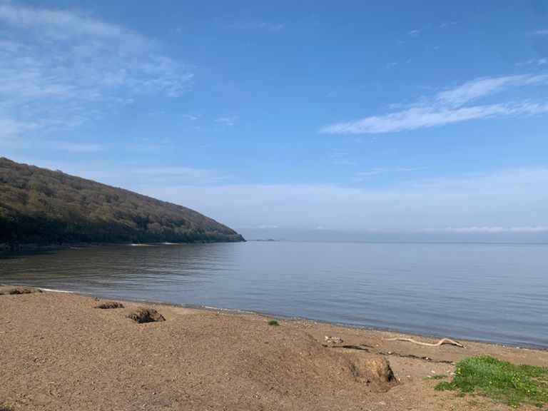
An excursion out towards Sand Bay, looping around Sand Point and returning via Milton
建立者:
Charlie Cox

路線和海拔
路段
| 名稱 | 距離 | 海拔差異 | 平均坡度 |
|---|---|---|---|
| Climb towards Norton! | 0.25 英里 | 52 呎 | 3.8% |
| Double Entendre AKA Anson's Corner | 0.35 英里 | 82 呎 | 4.4% |
| Anson sprint | 0.08 英里 | 79 呎 | 16.4% |
| Anson col de mare | 0.09 英里 | 85 呎 | 16.9% |
| Sprint to Sand Point | 1.64 英里 | 36 呎 | 0.0% |
| sand bay rush | 0.76 英里 | 39 呎 | 0.0% |
| Great View From Up Top | 0.10 英里 | 43 呎 | 7.8% |
| Gate to Hill Top | 0.23 英里 | 43 呎 | 2.9% |
| Down around the tree | 0.55 英里 | 39 呎 | 0.0% |
| Mad Cows | 0.28 英里 | -62 呎 | -4.0% |
| Norton Lane? | 0.16 英里 | 59 呎 | 6.9% |
| The Back Door | 0.22 英里 | 135 呎 | 11.4% |
| Worlebury Drop | 0.34 英里 | -171 呎 | -9.4% |
| Spring Hill Blast | 0.26 英里 | 33 呎 | 1.0% |
| Church Road | 0.63 英里 | -59 呎 | -1.7% |
| Ride it like Seabiscuit | 0.26 英里 | -46 呎 | -3.4% |