Activities
Top Sports
Running
Cycling
Walking
Hiking
Running
Cycling
Features
Maps
Challenges
Subscription
Log In
Join for Free
Sign Up
Home
Activities
Running
Cycling
Walking
Hiking
Features
Maps
Challenges
Subscription
Support
Sign Up
Log In
Get the App
+ 68
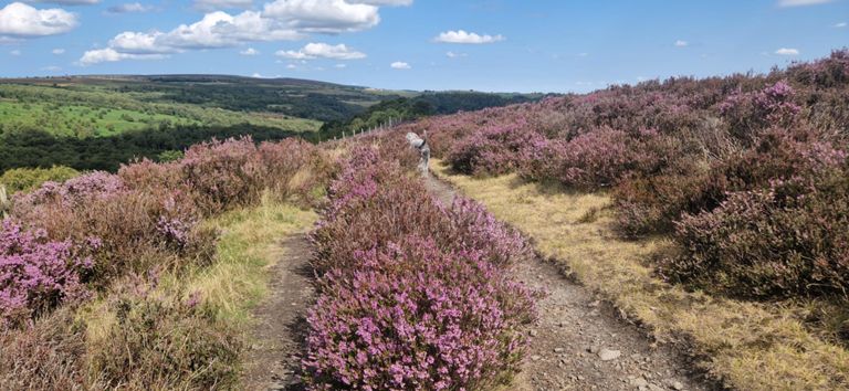
#7 Sparrowfart revised July 23
Cycling Route
Save
Share
Details
34.07 mi
2,826 ft
Revised to include Ashford in the Water
Created By
Bozer Routemaster
September 25, 2014
·
Public
Route and Elevation
Segments
Name
Distance
Elev. Diff.
Avg. Grade
Upper Newbold
1.04 mi
89 ft
1.6%
Through newbold
0.46 mi
33 ft
1.3%
Cutthorpe to Millthorpe
2.65 mi
-108 ft
-0.3%
Tea room Climb
0.44 mi
82 ft
3.3%
Tea Room uphill sprint
0.28 mi
69 ft
4.0%
Extended tea room climb stay on the gas
0.83 mi
85 ft
1.9%
Barlow church to commonside drop
0.49 mi
33 ft
0.2%
It's not far now
0.38 mi
-105 ft
-5.0%
TT start to A621
4.40 mi
627 ft
1.9%
Fox Lane climb
1.39 mi
453 ft
6.2%
Fox Lane Start
0.22 mi
125 ft
10.7%
Fox Lane Full
2.53 mi
436 ft
2.1%
Fox Lane 1st Section to Flat
0.72 mi
292 ft
7.7%
Fox Lane Hammer
1.55 mi
-404 ft
-4.9%
Last Stop Baslow
1.46 mi
-413 ft
-5.1%
A 621 Sprint
0.81 mi
-279 ft
-6.5%
Sweet spot
0.34 mi
-105 ft
-5.7%
Eyes left for the Manx Calamity
0.49 mi
-26 ft
-0.9%
Baslow Bump
0.11 mi
-7 ft
-1.0%
Foo kin ell
1.32 mi
249 ft
2.8%
just keep going
0.72 mi
184 ft
4.8%
Hassop to the cafe
1.08 mi
-46 ft
-0.6%
roundabout to ashford
1.71 mi
-98 ft
-0.7%
Ashford TT final uphill sprint
0.27 mi
36 ft
2.1%
MCC 5TT 5/5 Top of Climb to Finish
0.88 mi
-115 ft
-2.4%
Power up!
0.28 mi
72 ft
4.4%
🔨 down to Bakewell
0.93 mi
-135 ft
-1.6%
A6 Bakewell Rowsley
3.37 mi
-62 ft
-0.3%
Matlock 10 - 5 to 8 miles
3.05 mi
-79 ft
-0.4%
Bakewell Showground to Pickory
1.64 mi
-56 ft
-0.2%
Haddon'uff Mi Duck?
1.82 mi
-98 ft
-0.5%
Hump Back Haddon
0.39 mi
-30 ft
-0.3%
Bakewell Boost
1.21 mi
-79 ft
-1.0%
A6 from B5056 to Chatsworth Road junction
1.28 mi
-59 ft
-0.4%
Rowsley wrench
0.70 mi
30 ft
0.8%
The White Stuff
1.01 mi
259 ft
4.8%
Start me Up
0.55 mi
56 ft
1.0%
Bent Lane Steep Part to Crest
0.57 mi
289 ft
9.5%
Beeley Ln to Syda Ln
1.43 mi
-118 ft
-0.6%
Otters Drag Strip
0.40 mi
23 ft
0.6%
Otter's Pocket
0.38 mi
59 ft
2.9%
beeley chicane sprint
0.15 mi
30 ft
2.9%
Laguna Seca
1.27 mi
-118 ft
-1.2%
Hallcliff to A619
0.51 mi
30 ft
0.5%
FSESP8
0.19 mi
-20 ft
-1.8%
Gate Inn Drop
0.56 mi
-167 ft
-5.6%
Grange Hill descent
1.63 mi
-371 ft
-4.3%
full Cutthorpe descent
1.99 mi
-331 ft
-3.1%
Newbold flat
0.58 mi
-46 ft
-1.3%
every last drop!
0.25 mi
-20 ft
-1.6%