


+ 16
YGR Gravel 7: *Soapstone Prairie* (71 miles)
Cycling Route
Details
71.34 mi
2,478 ft
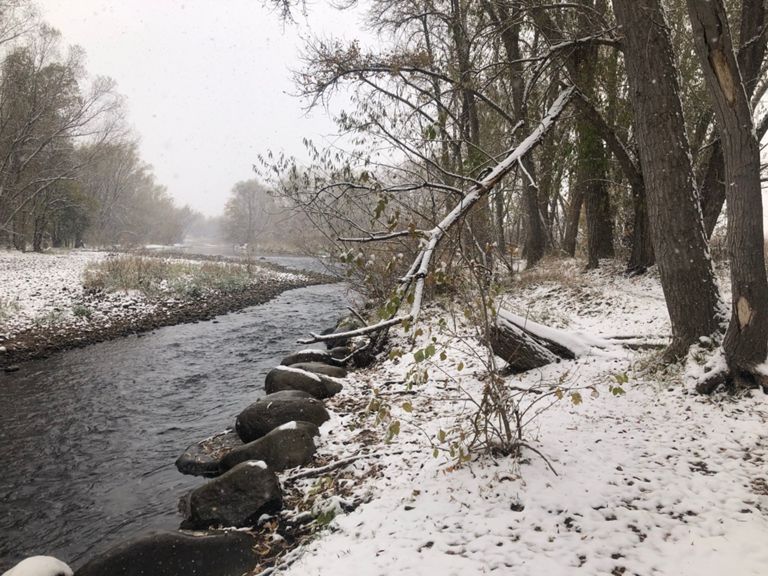
Do this ride in the spring when the prairie is green.
From the top at Soapstone Prairie Natural Area, you can see 50 miles to the south, looking over Fort Collins and all of the space between you and town. If you enjoy riding single-track, do the relatively easy loop in the Natural Area (go clockwise). On your way north, do the little square with LCR 80, Terry Lake Rd, and LCR 84 clockwise and enjoy the hills on LCR 84 and the views east from there.
Soapstone Prairie is closed for part of the year, so check in advance (Dec- March). There is no water until you get back into Wellington at mile 60.
Route provided by: Wolfgang Bangerth
Created By
Dan Porter- YGR
