


+ 36
1/2 Pilgrim Run: Saturday Sept. 5
Cycling Route
Details
33.18 mi
1,297 ft
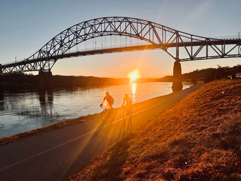
This is the alternate route for those who don't want to ride 50 miles. It's a scenic ride along the canal, up the East coast from Scusset Point to Manomet, and back to the canal... 33.1 miles.
Created By
Jim Griffin

Route and Elevation
Segments
| Name | Distance | Elev. Diff. | Avg. Grade |
|---|---|---|---|
| Canal_Railroad Bridge - wall 1 | 2.97 mi | -52 ft | -0.1% |
| Railroad Bridge-BourneBridge | 1.27 mi | -13 ft | -0.1% |
| The 3 B's | 4.53 mi | 66 ft | 0.0% |
| Out to Scusset Beach | 6.90 mi | 95 ft | 0.0% |
| Bourne Bridge to Sagamore Bridge | 3.41 mi | 72 ft | 0.1% |
| Buzz bay canal Bourne to Sagamore Bridges | 3.35 mi | 13 ft | 0.1% |
| Bourne to Sagamore | 3.22 mi | 20 ft | 0.0% |
| 2.35 mi | -23 ft | -0.0% | |
| Sagamore Bridge to Scusset Beach | 2.27 mi | -20 ft | -0.0% |
| Phillips Rd. north | 1.66 mi | 43 ft | 0.4% |
| Ellisville Rd N | 1.42 mi | -148 ft | -1.8% |
| Center Hill Rd N | 1.71 mi | 36 ft | 0.1% |
| Neighborhood Grns Climb | 0.51 mi | 276 ft | 10.1% |
| Bourne Rd | 5.49 mi | -98 ft | -0.3% |
| s turns to Tmans | 1.34 mi | -56 ft | -0.3% |
| 25 to Dayna Lane Rollers | 0.83 mi | -69 ft | -0.4% |
| Cedar Swamp Rollers | 0.85 mi | -49 ft | -0.8% |
| Head of the Bay to Bourne Rotary | 1.32 mi | -39 ft | -0.5% |