

Mês passado


+ 6
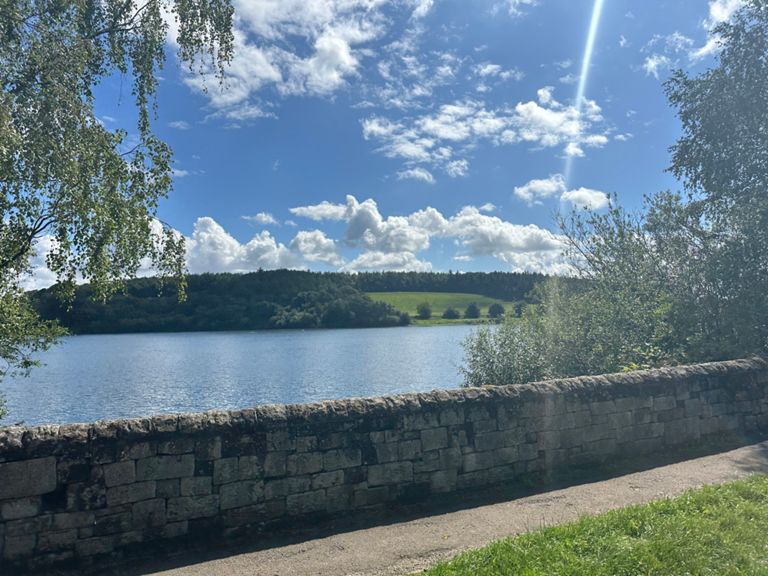
Green Hilly Weeks 7 and 17.
Rota de ciclismo
Detalhes
31,63 milhas
2 164 pés
1 Chilli.
Criado por
Bozer Routemaster

Rota e elevação
Segmentos
| Nome | Distância | Dif. Elevação | Inclinação Média |
|---|---|---|---|
| Scarrots To Joan's | 0,13 milhas | 3 pés | 0,7% |
| Hillstown to carr lane | 0,80 milhas | 26 pés | 0,4% |
| Carr lane descent | 0,90 milhas | -354 pés | -7,5% |
| Palterton Lane Climb Long | 1,48 milhas | 230 pés | 2,9% |
| up a bit | 2,11 milhas | 279 pés | 2,4% |
| Palterton Lane Climb | 1,11 milhas | 217 pés | 3,7% |
| Palterton Ln climb, M1 to crest | 0,19 milhas | 75 pés | 6,8% |
| Palterton Kicker | 0,05 milhas | 33 pés | 12,1% |
| Mansfield Road Descent | 0,55 milhas | -108 pés | -3,8% |
| Heath to Temple Normanton | 1,08 milhas | -138 pés | -1,3% |
| FINAL SPRINT HOME | 0,22 milhas | 33 pés | 2,8% |
| B6039 - keep them turning | 0,69 milhas | 36 pés | 0,6% |
| roundabout to locko ln | 1,48 milhas | 92 pés | 0,8% |
| Locko Road power climb | 0,26 milhas | 36 pés | 2,4% |
| hagg Hill dh | 0,41 milhas | -98 pés | -4,1% |
| Push to the bridge | 0,13 milhas | 20 pés | 2,5% |
| Pilsley Rd West | 0,74 milhas | 69 pés | 1,8% |
| Camel's back | 0,80 milhas | -59 pés | -1,4% |
| Handley Hill | 0,53 milhas | 190 pés | 6,7% |
| John Cena | 2,24 milhas | 82 pés | 0,0% |
| Quarry lane steady climb | 0,27 milhas | 49 pés | 2,5% |
| Past Oggy to the Church | 0,96 milhas | 49 pés | 0,1% |
| Smooth as Butter | 0,93 milhas | -69 pés | -0,7% |
| Climb to Higham | 0,36 milhas | 180 pés | 9,3% |
| Climb to Higham (Just the Climb) | 0,31 milhas | 151 pés | 9,1% |
| Mickley lane end to morton | 0,87 milhas | -39 pés | -0,2% |
| Higham Ln short power climb | 0,12 milhas | 20 pés | 2,9% |
| Pilsley Lane to B6039 | 2,22 milhas | 226 pés | 1,9% |
| Steep part of Pilsley | 0,85 milhas | 138 pés | 3,0% |
| Up Pilsley | 1,07 milhas | 138 pés | 2,4% |
| Church street to the top | 0,95 milhas | 95 pés | 1,9% |
| Pilsley school blast | 0,32 milhas | 30 pés | 1,7% |
| Pilsley Primary School to Five Pits | 0,32 milhas | 30 pés | 1,8% |
| Tibshelf Road to Hardwick Inn | 1,15 milhas | -213 pés | -3,3% |
| Deep lane to the bottom | 1,18 milhas | -69 pés | -1,0% |
| M1 to M1 | 1,11 milhas | -66 pés | -1,1% |
| Gate 2 Gate - Up | 0,48 milhas | 121 pés | 4,7% |
| Mill Entrance to Gate House | 1,72 milhas | 256 pés | 2,1% |
| Hardwick Gates Closed | 1,13 milhas | 240 pés | 4,0% |
| Focka's climb to hall | 0,67 milhas | 144 pés | 4,0% |
| Gatehouse sprint | 0,56 milhas | -66 pés | -2,1% |
| Rowthorne sprint | 0,40 milhas | 46 pés | 0,6% |
| William, it was really nothing | 0,67 milhas | 26 pés | 0,8% |
| Glapwell To Palterton Road | 1,19 milhas | 23 pés | 0,1% |
| Glapwell to Bolsover | 1,92 milhas | 26 pés | 0,0% |
| Losk Lane to Hills Town | 1,46 milhas | -39 pés | -0,2% |
| A Steely Pleasant Dig | 0,54 milhas | -16 pés | -0,3% |
| A "Pleasant" Sprint | 0,29 milhas | -3 pés | -0,3% |
| A Short "Pleasant" Sprint | 0,16 milhas | 0 pés | 0,0% |
| Hillstown Sprint | 0,17 milhas | 3 pés | 0,5% |