Strava
Mobiel
Kenmerken
Abonneren
Kaarten
Verhalen
Registreren
Aanmelden
Afgelopen twee weken
Afgelopen twee weken
Afgelopen maand
Afgelopen maand
+ 115
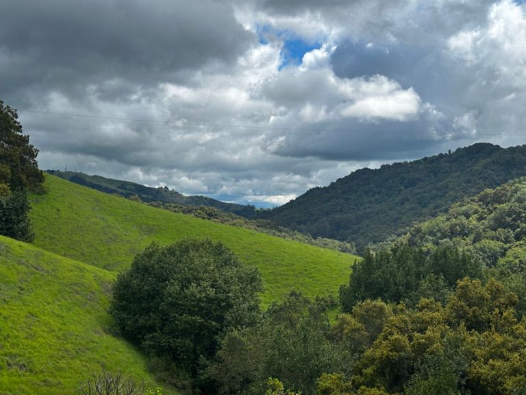
Devout -> Calaveras -> Palomares
Fietsroute
Opslaan
Delen
Invoegen
URL kopiëren
TCX exporteren
GPX exporteren
Afdrukken
Informatie
57,7 mi
3.918 ft
Gemaakt door
Jesse Avery
30 september 2021
·
Openbaar
Route en hoogte
Segmenten
Naam
Afstand
Hoogteverschil
Gem. Helling
Mission - Mowry to Walnut
0,60 mi
3 ft
0,1%
Walnut Ave to 680
2,62 mi
197 ft
1,3%
stevenson tunnel sprint
0,30 mi
-7 ft
0,0%
Mission - Stevenson - Driscoll
1,16 mi
36 ft
0,5%
Mission Blvd: Dalgo to Driscoll
0,41 mi
33 ft
1,5%
:^( thighz
0,52 mi
72 ft
2,6%
Driscoll March
1,06 mi
154 ft
2,7%
Mission goes up and down! Hunter to Grimmer
0,88 mi
-121 ft
-2,5%
Mission Blvd. Bump
0,16 mi
26 ft
2,8%
Warren Bump
0,14 mi
26 ft
3,3%
Calaveras to Felter
2,40 mi
748 ft
5,9%
Calaveras first wall (after Evans)
0,10 mi
62 ft
10,8%
Dirt Lot to County Line
5,67 mi
525 ft
1,1%
Calaveras Wall (from Felter)
0,24 mi
167 ft
12,7%
Top of wall to gate
3,19 mi
75 ft
0,3%
Calaveras Return TT full length
13,20 mi
-837 ft
-1,1%
Calaveras Dragontail Hill Climb Sprint
0,21 mi
30 ft
2,5%
Last Backside Climb Sprint
0,48 mi
85 ft
3,3%
SUNOL: Dam to stop sign
6,74 mi
-669 ft
-1,8%
Calaveras Descent (northbound)
2,45 mi
-515 ft
-4,0%
Calavares TT Decent
0,92 mi
-174 ft
-3,6%
Clear-View Sprint
1,66 mi
-82 ft
-0,7%
Welch Creek to Fwy
3,73 mi
-112 ft
-0,4%
Going from the bridge is too soon
0,69 mi
-33 ft
-0,2%
Paloma Way Sprint
0,75 mi
-33 ft
-0,8%
Sunol / Foothill Mini-KOM
0,61 mi
108 ft
3,2%
Foothill Rd from Sunol up and over
1,36 mi
118 ft
0,1%
Sunol to Castlewood
3,11 mi
105 ft
0,2%
Sunol Sprint >>>
0,24 mi
16 ft
0,2%
THE COUNTRY LANE PUSH
0,41 mi
23 ft
0,8%
Foorhill - Castlewood to Bernal
1,41 mi
36 ft
0,4%
Longview Dippy Back >>>
0,33 mi
13 ft
0,0%
Foothill Bernal to peak
1,10 mi
98 ft
1,6%
Foothill Rd — Bernal Av. to Stoneridge Rd.
2,72 mi
95 ft
0,2%
Adobe Up We Go-Be >>>
0,56 mi
69 ft
2,3%
Attack Attack Attack
0,12 mi
26 ft
4,1%
Muir Wood to Dublin Canyon Way
1,26 mi
79 ft
0,0%
Foothill rd to Muirwood uphill attack
0,33 mi
66 ft
3,6%
Dublin Canyon West The Whole Climb
2,47 mi
364 ft
2,8%
foot hill to top of palomarez
10,55 mi
810 ft
1,4%
Eden Canyon Westbound
4,37 mi
-374 ft
-0,2%
Dublin Canyon, west
1,37 mi
-1.421 ft
-0,0%
Dublin Cyn westbound
2,32 mi
-292 ft
-2,4%
To the bridge
2,67 mi
210 ft
1,4%
Palomares full climb
5,13 mi
892 ft
3,3%
Palomares South first climb
0,26 mi
59 ft
4,0%
The Pain of Palomares
0,91 mi
430 ft
8,9%
Palomares Descent (Southbound)
4,49 mi
-1.040 ft
-4,4%
All Gas no Brakes!
0,91 mi
-328 ft
-6,8%
Niles Canyon Sprint - Palomares to Old Canyon
1,86 mi
-66 ft
-0,7%