
Mês passado


+ 89
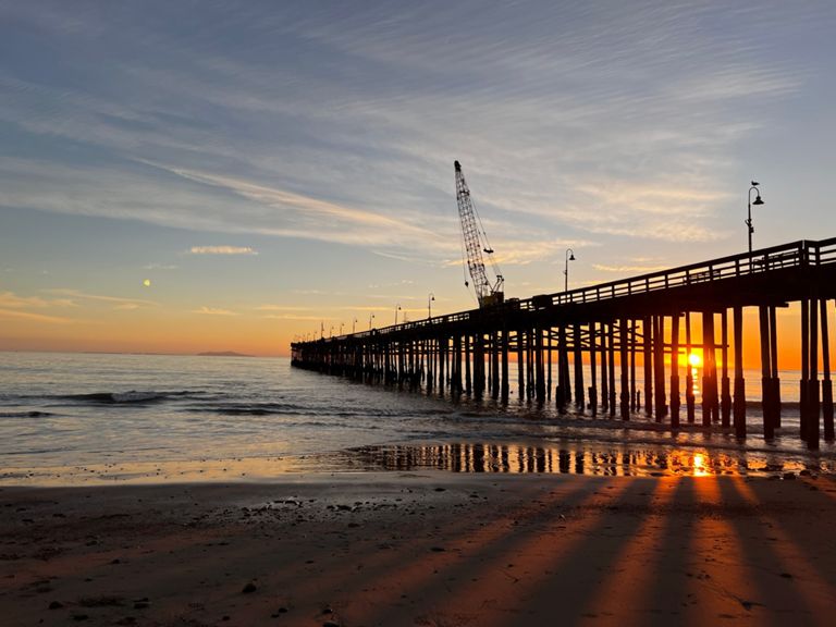
Bike Path to Beach
Rota de ciclismo
Detalhes
32,68 milhas
876 pés
Criado por
The Mob Shop

Rota e elevação
Segmentos
| Nome | Distância | Dif. Elevação | Inclinação Média |
|---|---|---|---|
| 33 Speedway | 2,03 milhas | -128 pés | -1,1% |
| Ojai Valley Bike Path (southwards/downhill) | 7,84 milhas | -528 pés | -1,3% |
| Ojai Vons to Sulphur Mtn Turnoff | 5,94 milhas | -459 pés | -1,5% |
| kYcK eT | 1,72 milhas | -125 pés | -1,4% |
| vons to skate park | 13,24 milhas | -722 pés | -1,0% |
| Ojai down to Harry Lyon Park | 11,57 milhas | -623 pés | -1,0% |
| Ojai Valley Trail Baldwin-N. Ventura | 6,22 milhas | -427 pés | -1,3% |
| Bike Path Descent - Baldwin to Olive | 11,39 milhas | -614 pés | -1,0% |
| Mira Monte to Oak View via Bike Path | 2,00 milhas | -174 pés | -1,5% |
| Villanova to Sulphur | 3,70 milhas | -335 pés | -1,6% |
| Oak View to Shell Rd | 6,24 milhas | -305 pés | -0,9% |
| Oak View to Foster Park Descent | 3,22 milhas | -217 pés | -1,3% |
| TwistyBitsDown | 0,25 milhas | -26 pés | -1,6% |
| roadys only | 1,21 milhas | -33 pés | -0,5% |
| Casitas Vista to Rex (Bike Trail) | 5,54 milhas | -197 pés | -0,7% |
| Ventura Bike Path (southwards) | 5,55 milhas | -200 pés | -0,7% |
| sewer plant o shell rd | 2,34 milhas | -69 pés | -0,6% |
| The S's-Shell to Stanley | 1,33 milhas | -59 pés | -0,8% |
| hard left | 0,10 milhas | -7 pés | -1,1% |
| STAY SOUTH OF STANLEY | 1,31 milhas | -69 pés | -0,9% |
| Sprint from Stanley Ave. | 0,64 milhas | -30 pés | -0,8% |
| One Mile Finish Sprint | 1,01 milhas | -36 pés | -0,7% |
| Beach Crusin | 1,43 milhas | -13 pés | -0,1% |
| Pier to Patagonia | 1,53 milhas | 23 pés | 0,2% |
| W Stanley Ave Climb | 1,17 milhas | 568 pés | 9,2% |
| Dubbers to Vons | 13,38 milhas | 741 pés | 1,0% |
| Ojai Trail to Foster Park | 5,49 milhas | 200 pés | 0,7% |
| Ventura to OakView - Bikepath | 9,00 milhas | 433 pés | 0,9% |
| Ojai Bike Path Opening Sprint | 2,04 milhas | 75 pés | 0,7% |
| VTA to Ojai on river trail | 12,97 milhas | 692 pés | 1,0% |
| Stanley to Shell | 1,33 milhas | 56 pés | 0,8% |
| Sprint to the park | 4,38 milhas | 154 pés | 0,7% |
| Ojai Trail-Vta to Ojai and Back | 12,45 milhas | 699 pés | 1,0% |
| hard right | 0,10 milhas | 0 pés | 0,2% |
| The Half Mile Straight (up) | 0,59 milhas | 20 pés | 0,6% |
| Ojai Valley Path to Baldwin | 6,24 milhas | 427 pés | 1,3% |
| Foster to Baldwin Run | 5,80 milhas | 420 pés | 1,3% |
| Rest stop to Santa Ana | 2,98 milhas | 207 pés | 1,3% |
| TwistyBitsUp | 0,27 milhas | 26 pés | 1,6% |
| Sulfur Baldwin Bike Path | 4,04 milhas | 341 pés | 1,6% |
| Oak View OpenUP! | 1,60 milhas | 161 pés | 1,9% |
| Climb to Oakview | 1,04 milhas | 118 pés | 2,1% |
| Cote d'OakView | 0,67 milhas | 89 pés | 2,5% |
| Devils Gulch Hill | 1,61 milhas | 174 pés | 2,0% |
| Barbara's Rise | 0,90 milhas | 102 pés | 2,1% |
| Up For Me | 3,57 milhas | 190 pés | 1,0% |
| Cote d'Miramonte | 0,10 milhas | 56 pés | 10,8% |
| Encino to Ojai | 3,47 milhas | 164 pés | 0,9% |
| Ojai Bike Path Final Sprint | 0,88 milhas | 59 pés | 1,1% |
| OV Inn | 0,46 milhas | 46 pés | 1,8% |