
Past Two Weeks

Past Month

Past Month
Past Month


+ 103
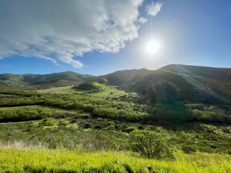
Carmen's Headlands Loop 13.75M
Running Route
Hard
13.74 mi
2,673 ft
Start/Finish: Northwest Golden Gate Bridge Parking Lot trailhead
Head up SCA Trail. Cross Conzelman Rd and continue on trail
Climb and at T-intersection, left on Slacker Trail
Climb then descend, cross McCullough Rd
Continue on Julian Trail to parking lot (Bathroom)
Take Julian Trail, descend to Bunker Rd
Cross Bunker Rd, turn left and run along dirt path on right side of road
Right on Smith Trail, then another quick right to stay on Smith Trail
Cross small bridge, then at T-intersection left on Rodeo Valley Trail
Veer left at Bobcat Trail. There is a small staircase here. Maybe 4-6 steps
Quick left on Miwok Trail (NOT RIGHT, you are not going up Miwok)
Take Miwok to end (old military buildings, parking lot)
Cross Bunker Road and turn right on Lagoon Trail
Run along Lagoon Trail to Rodeo Beach parking lot (Bathroom)
Take Coastal Trail all the way up to Wolf Ridge Trail
Slight left onto Wolf Ridge Trail, climb then descend to Miwok
Right on Miwok - enjoy the descent!
Left on Bobcat Trail, then climb
At top, turn right, then quick right on Alta Trail
Climb Alta. Pass Morning Sun Trail on left. Continue through forest
Take Alta to gate at Wolfback Ridge Road
Go straight, then look for trail head on right
Right on trail then quick left on SCA Trail
Run along the ridge on SCA
Turn Left at intersection w/SCA and Slacker
Descend down SCA to GG Bridge Parking Lot, crossing Conzelman Rd
Done!
Created By
Toby Silver
