


+ 58
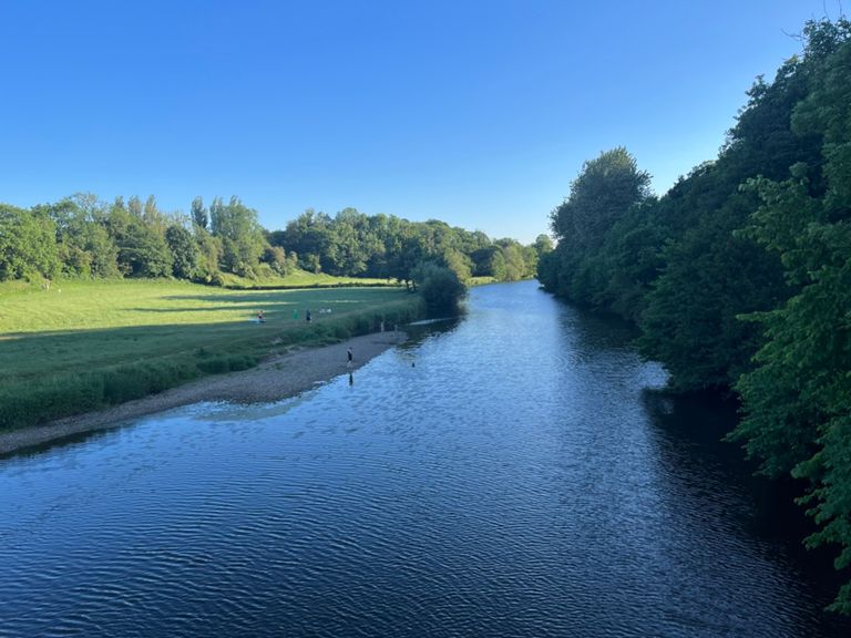
Clitheroe - Gisburn - Dunsop Route (30 miles).
Rota de ciclismo
Detalhes
34,06 milhas
2 624 pés
START at Ribble Valley E-Bikes, Clitheroe
> Waddington Arms, Waddington
> Coach & Horses, Bolton-By-Bowland
> Gisburn Forest Hub, Gisburn
> Hark To Bounty, Slaidburn
> Parkers Arms, Newton
> The Inn at Whitewell, Whitewell
> The Red Pump, Bashall Eaves
> FINISH at Ribble Valley E-Bikes, Clitheroe
> Waddington Arms, Waddington
> Coach & Horses, Bolton-By-Bowland
> Gisburn Forest Hub, Gisburn
> Hark To Bounty, Slaidburn
> Parkers Arms, Newton
> The Inn at Whitewell, Whitewell
> The Red Pump, Bashall Eaves
> FINISH at Ribble Valley E-Bikes, Clitheroe
Criado por
Ribble-Valley E-Bikes

Rota e elevação
Segmentos
| Nome | Distância | Dif. Elevação | Inclinação Média |
|---|---|---|---|
| clitheroe-waddington | 1,27 milhas | -66 pés | -0,3% |
| Carry that speed | 0,30 milhas | 52 pés | 0,9% |
| Waddy Sprint | 0,63 milhas | 30 pés | 0,2% |
| Higher Buck to Eaves Hall Lane | 0,85 milhas | 52 pés | 0,5% |
| waddington to grindleton brook | 2,15 milhas | -56 pés | -0,2% |
| Waddington 2 sawley | 3,57 milhas | -161 pés | -0,3% |
| Higher Buck sprint | 1,25 milhas | -62 pés | -0,2% |
| Grindleton Brow | 0,24 milhas | 105 pés | 8,2% |
| grindleton to sawley junction | 1,18 milhas | -135 pés | -1,9% |
| grindleton to bolton by bowland | 3,38 milhas | -131 pés | -0,4% |
| Brake you lose. | 0,61 milhas | -112 pés | -2,6% |
| Sawley to Bolton by Bowland | 2,07 milhas | 82 pés | 0,7% |
| S2BBB | 1,27 milhas | 59 pés | 0,9% |
| Holden Lane | 0,55 milhas | 131 pés | 4,4% |
| not at the top yet so don't stop lol | 2,41 milhas | 492 pés | 3,9% |
| Tinklers/Dugdale (full climb) | 3,53 milhas | 551 pés | 2,2% |
| grrrrr | 0,67 milhas | 115 pés | 3,2% |
| that straight bit | 0,16 milhas | -16 pés | -1,5% |
| Last up and down from stephen park | 0,67 milhas | 69 pés | 0,3% |
| berms | 0,19 milhas | -52 pés | -4,9% |
| Berms Section near car park | 0,13 milhas | -46 pés | -6,7% |
| Tinklers descent | 1,08 milhas | -292 pés | -5,0% |
| Slaidburn to Newton | 1,59 milhas | -174 pés | -0,2% |
| Slaidburn to Dunsop | 4,14 milhas | -249 pés | -0,5% |
| You only think this is hazardous if you're a joke ;-) | 0,19 milhas | 121 pés | 11,9% |
| Newton to Dunsop | 2,40 milhas | -151 pés | -0,9% |
| Wood End Cottages Climb | 0,48 milhas | 315 pés | 12,2% |
| Dunsop Bridge climb | 0,17 milhas | 20 pés | 2,0% |
| Forestry Houses Climb | 0,19 milhas | 262 pés | 25,7% |
| Dunsop bridge to Whitewell | 2,22 milhas | -95 pés | -0,4% |
| Bridge to Bridge | 1,01 milhas | -39 pés | -0,7% |
| Climb out of Whitewell | 1,68 milhas | 131 pés | 1,5% |
| Climb South from Whitewell | 1,00 milhas | 115 pés | 2,1% |
| Hall Hill Climb | 0,31 milhas | 39 pés | 1,6% |
| trees to view west | 0,64 milhas | 56 pés | 1,6% |
| Park Gate Cottages Climb | 0,29 milhas | 30 pés | 1,8% |
| Middle Lees to Edisford Bridge Pub | 5,60 milhas | -430 pés | -0,7% |
| Short but Sweet | 1,74 milhas | 177 pés | 1,9% |
| Middle Lees Blast (up) | 0,87 milhas | 144 pés | 3,1% |
| Park Gate Cottages Climb | 0,34 milhas | 62 pés | 3,4% |
| Cow Ark Brook to New Lane | 4,46 milhas | -410 pés | -1,7% |
| extended bashall sprint | 2,80 milhas | -344 pés | -2,3% |
| Browsholm Gatehouse Dash | 0,19 milhas | 33 pés | 2,7% |
| Full Bash Dash from Descent | 0,80 milhas | -52 pés | -1,2% |
| Bashall Barn sprint to Edisford bridge pub | 0,96 milhas | -69 pés | -1,2% |
| edisford bridge | 0,24 milhas | -36 pés | -0,4% |
| Peter Boast's Choad Choices' Escape Route | 0,32 milhas | 39 pés | 2,1% |
| Clitheroe's Keep-Fat Centre climb | 0,10 milhas | 23 pés | 4,1% |
| bridge up past gym to st pauls | 0,35 milhas | 39 pés | 2,0% |
| Eddy's Ford Folly | 0,68 milhas | 59 pés | 1,6% |