


+ 11
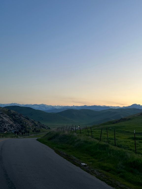
Flat to Hills 52 Ride
Rota de ciclismo
Detalhes
52,0 milhas
4 432 pés
Join us for the Flat to Hills 52 Mile Ride that begins and ends in front of FYE Sports.
We will be providing Nutrition to Riders pre-ride and Snacks and Coffee after.
We will be providing Nutrition to Riders pre-ride and Snacks and Coffee after.
Criado por
Michael Young

Rota e elevação
Segmentos
| Nome | Distância | Dif. Elevação | Inclinação Média |
|---|---|---|---|
| The Hour Tree | 16,23 milhas | 902 pés | 1,0% |
| Exeter HS to the Dynamite Shack | 9,52 milhas | 413 pés | 0,5% |
| Exeter HS to the Y | 5,05 milhas | 413 pés | 0,4% |
| Rocky Hill front | 1,23 milhas | 400 pés | 6,1% |
| Rocky - Canal to the First Turn | 0,71 milhas | 240 pés | 6,3% |
| Climb/Descend/Sprint to Yokohl | 2,94 milhas | 397 pés | 0,5% |
| Official Rocky Hill Climb | 1,10 milhas | 351 pés | 5,9% |
| Rocky Hill Front - First turn to the top | 0,47 milhas | 128 pés | 5,1% |
| Rocky Hill Backside Chicane Drop | 0,97 milhas | -299 pés | -5,8% |
| Yokohl To Oak Tree | 7,96 milhas | 614 pés | 1,4% |
| Yokohl dr to Fire Station | 13,96 milhas | 1 444 pés | 2,0% |
| Yokohl Valley ITT Out | 5,30 milhas | 282 pés | 1,0% |
| Visalia Senior Games 5K TT | 3,11 milhas | 102 pés | 0,5% |
| Yokohl Dr to Blueridge | 15,56 milhas | 2 139 pés | 2,6% |
| First Little Kicker | 0,33 milhas | 56 pés | 1,9% |
| Powerline | 1,16 milhas | 187 pés | 3,0% |
| Dynamite Shack (now gone) to the Top of the Oak Tree | 3,38 milhas | 482 pés | 2,6% |
| power line climb | 0,52 milhas | 118 pés | 4,3% |
| Oak Tree | 1,84 milhas | 377 pés | 3,9% |
| False Flats | 0,61 milhas | 69 pés | 2,2% |
| Oak Tree 1-Mile Climb | 1,03 milhas | 272 pés | 5,0% |
| Final Climb To The Red Gate | 3,26 milhas | 456 pés | 2,6% |
| Yokohl Blue Ridge Full Climb | 6,95 milhas | 1 614 pés | 4,4% |
| Milo Firestation to Blueridge | 3,44 milhas | 1 033 pés | 5,7% |
| Fire Station to First Curve | 0,37 milhas | 141 pés | 7,2% |
| Firestation to Blueridge | 1,92 milhas | 531 pés | 5,2% |
| Blue Ridge climb | 1,37 milhas | 371 pés | 5,1% |
| Sprint to the top of Blueridge | 0,20 milhas | 26 pés | 2,5% |
| Blue Ridge to the Milo Stop Sign | 3,17 milhas | -794 pés | -4,7% |
| Complete Backside Blue Ridge | 3,24 milhas | 856 pés | 5,0% |
| Blue Ridge downhill | 7,55 milhas | -1673 pés | -4,1% |
| Blueridge Downhill from the top | 4,81 milhas | -1319 pés | -5,2% |
| Fire Station to the Y | 13,96 milhas | -1444 pés | -2,0% |
| Firestation to Oak Tree | 5,93 milhas | -948 pés | -2,6% |
| Oak Tree to the Y | 7,92 milhas | -594 pés | -1,4% |
| 1 Mile Oak Tree Descent | 0,89 milhas | -279 pés | -5,9% |
| Oak Tree to the Powerlines | 2,17 milhas | -367 pés | -2,6% |
| False Flat going back to the Powerlines | 0,97 milhas | -108 pés | -2,0% |
| Backside of Powerlines | 0,49 milhas | 79 pés | 2,7% |
| Powerlines to what we used to call the Dynamite Shack | 1,05 milhas | -190 pés | -3,4% |
| Dynamite Shack to the Y | 4,40 milhas | -131 pés | -0,6% |
| The Wall | 0,21 milhas | 16 pés | 1,4% |
| Hammer to the Y | 2,74 milhas | -92 pés | -0,6% |
| Sprint to the Last Oak Tree | 0,62 milhas | -20 pés | -0,5% |
| Headwind Grind | 1,02 milhas | 43 pés | 0,7% |
| Myers Hill - Back | 0,51 milhas | 144 pés | 5,2% |
| Myer Burst | 1,99 milhas | -325 pés | -3,1% |
| Capsu to the Canal | 1,12 milhas | -249 pés | -4,0% |
| Canal Capsu | 0,91 milhas | -82 pés | -1,6% |
| Myer's Drive Packing House W/B | 0,84 milhas | -7 pés | -0,2% |