Strava
Móvel
Recursos
Assinar
Mapas
Histórias
Inscreva-se
Fazer login
Últimas duas semanas
Últimas duas semanas
Último mês
+ 125
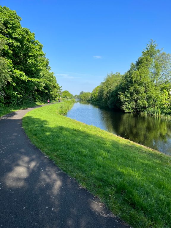
Low Level Dumbarton Run (icy weather edition)
Rota de Ciclismo
Salvar
Compartilhar
Incorporar
Copiar URL
Exportar TCX
Exportar GPX
Imprimir
Detalhes
31,13 mi
503 pés
Criado por
Mark Gallagher | G.G.C.C. 🏴
17 de dezembro de 2022
·
Público
Rota e elevação
Segmentos
Nome
Distância
Dif. de elev.
Inclinação média
Clyde St
0,13 mi
-7 pés
-0,8%
Eurohostel Dash
0,23 mi
-7 pés
-0,5%
along clyde-side to lancefield q
1,21 mi
-30 pés
-0,2%
Commerce St Bridge to M8 bridge
0,39 mi
26 pés
0,6%
Riverside Royale
0,82 mi
-23 pés
0,0%
Bus Lane Sprint Full
0,39 mi
-7 pés
-0,3%
Bus lane west
0,31 mi
-10 pés
-0,2%
Kingston to squinty
0,44 mi
-23 pés
-0,8%
faux plat Finnieston
0,22 mi
36 pés
2,9%
Argyle Street Slam
0,37 mi
7 pés
0,2%
Western Infirmary RIP
0,76 mi
30 pés
0,1%
bust the kelvin
0,35 mi
-39 pés
-1,8%
Junction to BAE
1,64 mi
39 pés
0,1%
South Street to Kelso Street
0,66 mi
-98 pés
-0,2%
Kelso to Mill without crossing lights
0,37 mi
-16 pés
-0,4%
Dumbarton dash
2,19 mi
-13 pés
-0,1%
Mill Road to Argyll Road
0,69 mi
13 pés
0,3%
Dalmuir Cross To Erskine Bridge Cut Off
1,50 mi
26 pés
0,3%
Mountblow -> bridge (no lights)
1,01 mi
-13 pés
-0,1%
MB to WI sprint
0,34 mi
-13 pés
-0,5%
Erskine Bridge to Dunglass Roundabout
2,07 mi
-56 pés
-0,3%
Gavinburn Sprint
0,18 mi
33 pés
3,4%
Where the Wildlings are
0,42 mi
-33 pés
-1,2%
Bowling Alley
1,26 mi
-46 pés
-0,5%
Three Taverns
0,51 mi
23 pés
0,2%
Fast past the petrol station
0,32 mi
-3 pés
-0,1%
Dumbuck Dash
1,17 mi
-23 pés
-0,2%
Dumbuck Short Dash
0,55 mi
-13 pés
-0,4%
Glasgow Rd
0,43 mi
-13 pés
-0,6%
Glasgow Road
0,46 mi
7 pés
0,2%
Starbucks to GJ
3,85 mi
69 pés
0,1%
Bowling to the Bridge (killpatrick)
1,22 mi
39 pés
0,1%
Harbour to School
0,61 mi
36 pés
0,8%
Old Kilpatrick Mile
1,03 mi
-43 pés
-0,5%
Bridge to Mountblow
1,13 mi
-33 pés
-0,4%
THE DALMUIR DIRK DIGGLER
0,35 mi
-7 pés
-0,2%
Dalmuir To Kilbowie Road
1,80 mi
-30 pés
-0,1%
Duntocher Rd to Kilbowie Rd
0,97 mi
-16 pés
-0,1%
Kilbowie Road To Dumbarton Road
2,01 mi
26 pés
0,1%
North Elgin Street To Kelso Street
0,78 mi
-7 pés
-0,0%
Fore st to Edzell st
0,25 mi
7 pés
0,3%
Hospital to Fork
0,26 mi
36 pés
2,2%
Hastie Sauchs, Rad Argyle, Ken?
0,47 mi
-16 pés
-0,6%
Kelvingrove Street to the lights - not past lights
0,15 mi
3 pés
0,2%
Finnieston to the Clyde
0,25 mi
-43 pés
-2,9%
Squinty_Sprinty
0,39 mi
7 pés
0,1%
clyde-side sprint
0,67 mi
30 pés
0,3%
Broomielaw (green lights all the way)
1,16 mi
-16 pés
-0,2%
Bus Lane East
0,40 mi
26 pés
0,6%
Bridgegate
0,19 mi
-10 pés
-0,5%