


Mês passado


+ 26
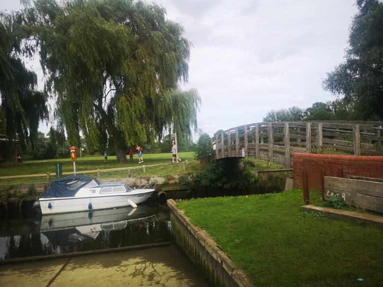
The Broads
Rota de ciclismo
Detalhes
59,65 milhas
1 814 pés
Kessingland to The Broads via Great Yarmouth and Caister
Criado por
Philip Goodfellow

Rota e elevação
Segmentos
| Nome | Distância | Dif. Elevação | Inclinação Média |
|---|---|---|---|
| Kessingland to Gisleham | 1,88 milhas | -46 pés | -0,3% |
| Snab drag | 0,34 milhas | 43 pés | 2,3% |
| Old CC | 0,84 milhas | -16 pés | -0,1% |
| Elm Tree rise | 0,61 milhas | 39 pés | 1,2% |
| Roundabout Rise | 0,40 milhas | 23 pés | 0,8% |
| Hall Road to Bloomsbury Close | 0,86 milhas | 59 pés | 1,3% |
| Gorleston Rd up | 0,15 milhas | 20 pés | 2,2% |
| millenium cycle path sprint north | 0,38 milhas | -20 pés | -1,0% |
| Bentley Drive Climb | 0,37 milhas | 13 pés | 0,7% |
| millenium cycle path sprint | 0,36 milhas | 20 pés | 0,9% |
| Somerleyton Road Dash | 0,31 milhas | -7 pés | -0,4% |
| Not quite 5 | 4,73 milhas | -59 pés | -0,2% |
| Up and down the country road | 1,63 milhas | -112 pés | -0,2% |
| Off to prison!! | 0,63 milhas | 26 pés | 0,4% |
| Fritton Tri - Stage Two | 4,06 milhas | -46 pés | -0,0% |
| Lound Hill Sprint | 0,15 milhas | 13 pés | 1,7% |
| Browston Ln | 1,45 milhas | 49 pés | 0,4% |
| Burnet to Primrose | 0,20 milhas | -13 pés | -1,1% |
| Head on Speed Camera | 0,32 milhas | -10 pés | -0,3% |
| beans for breakfast | 0,31 milhas | -16 pés | -0,3% |
| North Quay Run | 0,31 milhas | 7 pés | 0,1% |
| White swan to yarmouth stadium | 1,76 milhas | -13 pés | -0,1% |
| Caister Rd Evenings | 1,19 milhas | -7 pés | -0,1% |
| Norwich Rd - between roundabouts | 0,64 milhas | -33 pés | -1,0% |
| A1046 - towards Filby | 0,70 milhas | 36 pés | 1,0% |
| Crossing The Bure (North to South) | 1,44 milhas | 10 pés | 0,1% |
| Acle to Freethorpe | 3,88 milhas | 49 pés | 0,1% |
| Reedham and weep! | 6,00 milhas | -59 pés | -0,1% |
| We like curves | 1,04 milhas | -46 pés | -0,8% |
| MSM South | 0,53 milhas | 23 pés | 0,6% |
| Freedham | 2,72 milhas | -52 pés | -0,2% |
| heading to reedham | 0,58 milhas | -16 pés | -0,3% |
| Reedham Ferry Sprint from Reedham | 0,50 milhas | -16 pés | -0,4% |
| Only try this on the ferry - reverse! | 0,01 milhas | -3 pés | -3,2% |
| Poppy's Hill | 0,47 milhas | 36 pés | 1,4% |
| Norwich Rd Climb #2 | 0,68 milhas | 46 pés | 1,2% |
| Norwich Rd Climb | 0,36 milhas | 308 pés | 16,0% |
| Plummet to golden arches | 0,97 milhas | -56 pés | -1,1% |
| Gillingham Dambuster | 0,52 milhas | 10 pés | 0,0% |
| Ravensmere Run | 0,41 milhas | 39 pés | 1,7% |
| blyburburn | 0,18 milhas | -13 pés | -1,4% |
| Worlingham Stretch | 1,10 milhas | -30 pés | -0,1% |
| Hawkins hill | 0,81 milhas | 49 pés | 1,1% |
| Airport assault | 0,63 milhas | -10 pés | -0,2% |
| Kart track to the A12 | 3,85 milhas | -62 pés | -0,2% |
| Ellough Hill | 0,81 milhas | -43 pés | -1,0% |
| hulvstead | 1,71 milhas | 39 pés | 0,0% |
| my hump my hump my lovely hulver hump | 0,38 milhas | 23 pés | 0,2% |
| The Dam Buster | 0,55 milhas | 62 pés | 2,1% |
| Heritage green to Romany lane | 1,12 milhas | -16 pés | -0,2% |