Strava
Telemóvel
Funcionalidades
Subscrever
Mapas
Histórias
Registar
Iniciar sessão
Mês passado
+ 194
Epic
Rota de ciclismo
Guardar
Partilhar
Incorporar
Copiar URL
Exportar TCX
Exportar GPX
Imprimir
Detalhes
209,78 milhas
31 158 pés
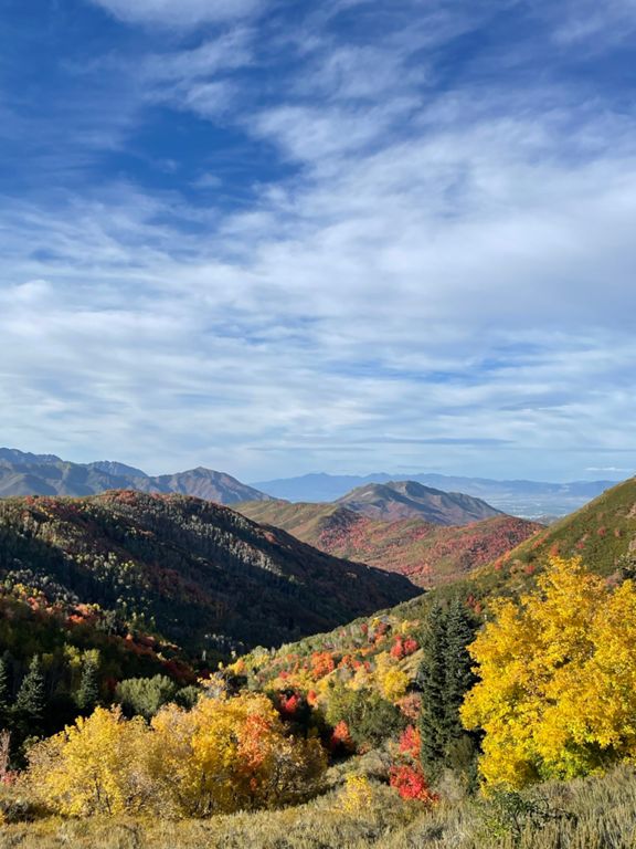
AF, Cascade, Suncrest, LCC, BCC, Millcreek, Emigration, Big Mt, Suncrest.
Criado por
Ben Rabner
23 de agosto de 2015
·
Público
Rota e elevação
Segmentos
Nome
Distância
Dif. Elevação
Inclinação Média
Alpine Loop (American Fork)
10,94 milhas
2 959 pés
5,1%
toll booth to crosswalk at cave
2,28 milhas
505 pés
4,2%
Pine Hollow Gate to Timpooneke Turn Off
1,47 milhas
495 pés
6,4%
Cascade uppler lot to top
6,17 milhas
1 503 pés
4,6%
AF Canyon Descent (Fork to Booth)
4,62 milhas
-928 pés
-3,8%
Suncrest Southside (11800 N to Stop Sign)
3,90 milhas
1 089 pés
5,2%
Suncrest N DH
3,35 milhas
-1086 pés
-6,1%
Little Cottonwood Rd.interval
0,99 milhas
151 pés
2,9%
LCC mile 1
0,94 milhas
322 pés
6,5%
Park and Ride to Entrance #2
6,10 milhas
2 516 pés
7,8%
LCC Full Descent - Albion Base sign to Electric sign
8,35 milhas
-3330 pés
-7,6%
Parking Lot to Max Field Dr
2,90 milhas
771 pés
5,0%
Storm Mtn to Gate
0,59 milhas
272 pés
8,7%
Big Cottonwood (Donut Falls SP to Brighton)
5,34 milhas
1 394 pés
4,9%
Guardsman Descent
2,98 milhas
-1053 pés
-6,7%
BCC Down
12,65 milhas
-3281 pés
-4,9%
Mouth BC to 45th
4,18 milhas
128 pés
0,1%
BCC Mouth to Millcreek City Sign
1,10 milhas
-102 pés
-1,4%
Wasatch/Old Mill Sprint
1,47 milhas
-30 pés
-0,3%
Millcreek to Porter Fork
4,26 milhas
1 050 pés
4,5%
Mill Creek Canyon Rd Climb
0,90 milhas
266 pés
5,5%
Millcreek Pay Station to Evergreen - 5mi TT
5,15 milhas
1 352 pés
5,0%
Mile of Hell
1,00 milhas
325 pés
5,7%
Millcreek Gate to Top
4,46 milhas
1 509 pés
6,4%
Commute Hill Finishing Sprint
0,33 milhas
46 pés
2,5%
Bonneville Split
0,71 milhas
144 pés
3,8%
Crestview Dr to Ruth's Diner
1,94 milhas
266 pés
2,6%
Emigration Base to Fire Station
3,30 milhas
463 pés
2,5%
Emigration Hill Climb (Utah Crit Series)
7,65 milhas
1 286 pés
3,2%
Emigration Canyon (Little Mountain Summit)
7,59 milhas
1 293 pés
3,2%
Ruths to Switchbacks
3,99 milhas
617 pés
2,9%
Emigration Canyon Climb
1,07 milhas
466 pés
8,2%
Gate to Big Mountain summit
5,25 milhas
1 427 pés
5,1%
Big Mountain (Mtn Dell side)
3,73 milhas
1 358 pés
6,9%
Utah 65 Climb
0,77 milhas
371 pés
9,0%
Big Mtn Switchbacks to Spring Snow-line
1,33 milhas
509 pés
7,2%
Big Mtn DH (west side)
2,23 milhas
-797 pés
-6,7%
Emigration Canyon Rd Climb
1,42 milhas
266 pés
3,5%
Emigration Canyon (Downhill)
7,59 milhas
-1201 pés
-3,0%
The Real Little Mountain DH
2,06 milhas
-476 pés
-4,4%
Emigration - First switchback (downhill)
0,13 milhas
-33 pés
-4,6%
Emi to Crestview sprint
0,16 milhas
39 pés
3,7%
Wasatch blvd. (Parley's to Gun Club Rd. overlook )
2,41 milhas
-82 pés
-0,0%
Wasatch Blvd
5,03 milhas
-161 pés
-0,3%
Wasatch from 3900 South
4,11 milhas
-174 pés
-0,2%
Gravel pit south to mouth of Big
0,97 milhas
75 pés
1,3%
LLC Wasatch Down
3,49 milhas
-377 pés
-2,0%
Highland (Rambling Rd to Slurpee)
1,76 milhas
151 pés
1,5%
Suncrest Climb North Maple Park Court
1,74 milhas
709 pés
7,7%
N Sunny C
0,70 milhas
361 pés
9,7%