


.02 YRSS Kimbolton (47mi-75mi)
Rota de ciclismo
Detalhes
46,73 milhas
1 665 pés
Criado por
Ron Lewis
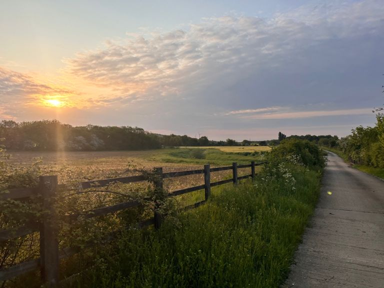
Rota e elevação
Segmentos
| Nome | Distância | Dif. Elevação | Inclinação Média |
|---|---|---|---|
| Yaxley Lights to Norma Cross Cycle Path Switch | 1,10 milhas | 46 pés | 0,8% |
| Yaxley to Norman Cross | 0,91 milhas | 33 pés | 0,3% |
| A1 - Bullock rd via Folksworth & Washingley | 3,05 milhas | 125 pés | 0,7% |
| Folksworth Road | 0,78 milhas | 39 pés | 0,7% |
| Folksworth to Bullock Rd Leg | 1,72 milhas | 92 pés | 0,4% |
| Washingley climb | 1,98 milhas | 95 pés | 0,9% |
| Bullock Rd Howler | 1,54 milhas | 20 pés | 0,2% |
| great gidding grapple | 1,15 milhas | 59 pés | 0,1% |
| My giddy AARGH | 0,39 milhas | -69 pés | -3,3% |
| Gt Gidding to Winwick | 1,69 milhas | 95 pés | 0,9% |
| Old Weston Descent | 1,24 milhas | 59 pés | 0,1% |
| Kimbolton cruise | 0,88 milhas | -23 pés | -0,3% |
| Out of Kimbolton | 0,53 milhas | 108 pés | 3,7% |
| Tour de Quarantine - Final Stage - Second KOM | 0,83 milhas | 115 pés | 2,6% |
| Stow Longa to High Street Spaldwick | 1,93 milhas | -174 pés | -1,6% |
| Down then UP UP UP! | 3,64 milhas | -177 pés | -0,3% |
| Belton's Hill | 0,78 milhas | 89 pés | 1,1% |
| Spaldwick Crawl | 0,32 milhas | 43 pés | 2,3% |
| A14 to Buckworth | 3,24 milhas | 102 pés | 0,0% |
| Belton blast | 0,33 milhas | 82 pés | 3,8% |
| St Ives CC Hill Climb | 1,24 milhas | 105 pés | 1,6% |
| Barham climb | 0,13 milhas | 43 pés | 6,0% |
| Belton Hill to Village Sign | 0,32 milhas | 82 pés | 4,7% |
| Belton's Hill - Steep Bit! | 0,20 milhas | 62 pés | 5,7% |
| Buckworth Descent | 1,86 milhas | -108 pés | -1,1% |
| Flat to Alc Weston short | 1,63 milhas | -23 pés | -0,2% |
| Alconbury to Alconbury | 0,60 milhas | -10 pés | -0,2% |
| Alconbury to Ermine St | 0,76 milhas | 95 pés | 2,4% |
| Alconbury A1-A1 short climb | 0,36 milhas | 102 pés | 5,4% |
| Truck Stop Hill | 0,33 milhas | 66 pés | 3,7% |
| If you go into the woods today | 1,84 milhas | -36 pés | -0,3% |
| Alconbury Rush 2 | 1,84 milhas | -36 pés | -0,3% |
| NX15/10 S-bend | 0,19 milhas | -16 pés | -1,6% |
| St Ives CC Chain Gang Sprint | 0,19 milhas | -10 pés | -0,8% |
| St Ives CC Chaingang Sprint | 0,23 milhas | -20 pés | -1,5% |
| Walton Drop | 0,41 milhas | -23 pés | -1,0% |
| Blast back to Sawtry | 2,42 milhas | -108 pés | -0,6% |
| B1090 West Wood | 2,04 milhas | 46 pés | 0,0% |
| NX15/10 RR-North | 0,68 milhas | -20 pés | -0,5% |
| SS1 | 0,58 milhas | -33 pés | -1,1% |
| N1/10 RABs North | 0,99 milhas | -23 pés | -0,0% |
| Sawtry & St Andrews RAB's | 0,64 milhas | -43 pés | -0,4% |
| Truck stop | 0,21 milhas | -16 pés | -1,4% |
| Weigh up a visit to VOSA | 0,39 milhas | 16 pés | 0,6% |
| To Connington Lane | 0,94 milhas | 36 pés | 0,5% |
| Holme Flyer | 1,17 milhas | -36 pés | -0,5% |
| Admiral Wells Blast | 1,89 milhas | -36 pés | -0,4% |
| A1 (Junction after Flyover) to Holme (40 sign on road) | 1,18 milhas | -43 pés | -0,5% |
| Tour de Quarantine - Stage 7 Sprint | 0,73 milhas | -13 pés | -0,1% |
| The Green to the alley | 0,20 milhas | -3 pés | -0,2% |