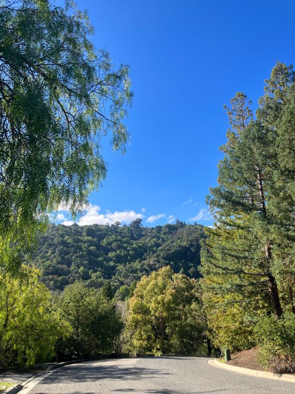
| Rte 9 Launch: Santa Cruz to Rose | 0.36 mi | 69 ft | 3.5% |
| HWY9 - Saratoga Bump - Austin to Fruitvale | 0.73 mi | 118 ft | 2.9% |
| Marty's Sprint | 0.39 mi | -26 ft | -0.8% |
| Rainbow Dr - Stelling to Bubb | 0.48 mi | 49 ft | 1.9% |
| McClellan: in and out | 0.29 mi | -33 ft | -0.3% |
| McClellan hairpin from ranch to straight | 0.24 mi | 59 ft | 4.3% |
| McClellan Hill Sprint | 0.09 mi | 26 ft | 5.2% |
| McClellan rd (hairpin climb to Foothill) | 0.30 mi | 62 ft | 3.9% |
| McClellan Climb (Only The Steep Part) | 0.07 mi | 36 ft | 9.4% |
| Foothill: Stevens Creek to Cristo Rey Dr. Sprint. | 0.60 mi | -36 ft | -0.8% |
| Foothill Stevens Creek to Homestead | 1.07 mi | -115 ft | -2.0% |
| Foothill Homestretch Hill Sprint | 0.14 mi | 10 ft | 1.1% |
| El Monte - Foothill to Stonebrook | 0.95 mi | 92 ft | 1.8% |
| El Monte under 280: Summerhill to Stonebrook | 0.54 mi | 56 ft | 1.9% |
| Elena Climb -- Robleda to Taafe | 0.17 mi | 66 ft | 7.3% |
| Arastradero Downhill | 0.73 mi | -75 ft | -1.9% |
| Foothill, Arastradero to El Monte | 2.33 mi | 128 ft | 1.0% |
| Under the bridge (South) | 0.17 mi | 26 ft | 1.8% |
| Foothill: Homestead to Stevens Creek | 1.22 mi | 125 ft | 1.9% |
| Foothill Bump - Homestead to past CristoRey | 0.51 mi | 95 ft | 3.5% |
| Homestead to Montebello Grinder | 3.49 mi | 289 ft | 1.5% |
| Foothill - Offramp Light to Cristo Rey | 0.29 mi | 75 ft | 4.8% |
| Foothill - Top of hill to Cupertino Rd. | 0.57 mi | 39 ft | 0.9% |
| Stevens Creek to County Park | 1.22 mi | 112 ft | 1.7% |
| Steven's Canyon Hill Sprint | 0.13 mi | 39 ft | 5.5% |
| Stevens Canyon - McClellan to Montebello | 1.60 mi | 131 ft | 1.4% |
| Stevens Canyon to Mt Eden Rd Stop Sign | 2.85 mi | 128 ft | 0.7% |
| stevens creek res - mt eden stop sign | 1.84 mi | 52 ft | 0.3% |
| Montebello Rd stop sign to top of Mt Eden fence | 2.06 mi | 299 ft | 2.7% |
| Watch for close overtakes by bad drivers | 0.18 mi | 20 ft | 2.1% |
| Use it or Lose It! Push! | 0.30 mi | -43 ft | -0.0% |
| Stevens Canyon Rd (Cal-Fire to Mt. Eden) | 0.65 mi | 43 ft | 0.1% |
| Mt. Eden: Yes, It's a Climb | 1.02 mi | 272 ft | 5.0% |
| Mt Eden - Stop sign to fence | 0.72 mi | 246 ft | 6.4% |
| Mt Eden to archery sign | 0.54 mi | 180 ft | 6.3% |
| Mt Eden First Bend | 0.22 mi | 79 ft | 6.8% |
| Mt Eden Sprint Hairpin to Fence | 0.24 mi | 85 ft | 6.6% |
| Mt. Eden Descent - Only steep pitch | 0.51 mi | -210 ft | -7.7% |
| Mt. Eden Descent to Pierce (steep part) | 0.66 mi | -226 ft | -6.5% |
| Teerlink all the way up. | 0.27 mi | 62 ft | 3.6% |
| Teerlink - steep part | 0.10 mi | 66 ft | 12.1% |
| Backside of Pierce to Mountain Winery | 0.35 mi | 151 ft | 8.0% |
| Pierce DH to 9 | 0.35 mi | -118 ft | -6.4% |
| Hwy 9 Descent - Pierce to Saratoga | 1.15 mi | -190 ft | -3.1% |
| Highway 9 - Montalvo to Mendlsohn | 0.45 mi | 36 ft | 1.5% |
| Hwy 9 - Fruitvale to Quito | 1.03 mi | -125 ft | -2.0% |
| Saratoga Los Gatos - Fruitvale to Austin Way | 0.37 mi | -43 ft | -2.1% |
| Austin to Greenwood - UPHILL, NOT HAZARDOUS! | 0.60 mi | 39 ft | 1.2% |
| Fire Station to Quito SPRINT! | 0.32 mi | 16 ft | 0.9% |
| The LG Sprint | 0.42 mi | -75 ft | -3.3% |


