Past Week

Past Week


+ 76
2024 - Izzi Lunch Loop.
Cycling Route
Details
23.58 mi
1,540 ft
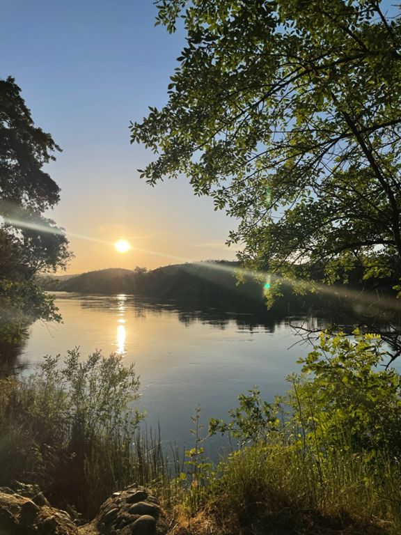
This Bigfoot Adventure Challenge route takes full advantage of the amazing urban gravel opportunities from your home, favorite coffee spot or work place in Redding. The rider can expect some sac river trail followed by west side county paved roads, lots of sometimes gravel bike challenging westside single track, and a crossing of the infamous Sundial Bridge.
Created By
Brian Crane

Route and Elevation
Segments
| Name | Distance | Elev. Diff. | Avg. Grade |
|---|---|---|---|
| 10 bridges dirt climb | 0.65 mi | 144 ft | 4.2% |
| River trail up to Sunflower | 0.67 mi | 148 ft | 4.1% |
| 10 UP TO 3 | 0.54 mi | 66 ft | 2.1% |
| Salt Creek Heights (“Three Bridges”) | 0.96 mi | -187 ft | -3.6% |
| MC Connector Uphill | 0.35 mi | 112 ft | 5.3% |
| Middle Creek to 299 | 0.65 mi | 98 ft | 1.4% |
| Salt Creek - 299 to Lower Springs | 1.34 mi | 105 ft | 1.1% |
| Salt Creek/Valparaiso to TH | 1.36 mi | 200 ft | 2.7% |
| Pay Day | 0.46 mi | 92 ft | 3.8% |
| Valparaiso to Top Of The World | 0.89 mi | 315 ft | 6.6% |
| Lower Springs Rd Climb | 0.72 mi | 276 ft | 7.2% |
| DH Rattlesnake | 1.66 mi | -328 ft | -3.5% |
| Rattlesnake down | 1.36 mi | -335 ft | -4.5% |
| DH Swasey connector to Rattlesnake | 0.99 mi | -236 ft | -4.1% |
| Short DH to Canyon Hollow | 0.21 mi | -52 ft | -4.6% |
| Canyon Hollow | 0.56 mi | -66 ft | -2.0% |
| Blazingwood Bombing Run | 0.32 mi | -157 ft | -9.2% |
| ACID Blotter | 0.54 mi | 23 ft | 0.8% |
| Turtle Bay quickie | 0.21 mi | -13 ft | -1.2% |
| sundial to diestelhorst | 1.46 mi | 26 ft | 0.2% |
| Diestelhorst 2 Downtown | 0.67 mi | 52 ft | 1.2% |
| Riverside Hill | 0.05 mi | 23 ft | 7.8% |