
上個月

上個月


+ 114
Mad-Hot
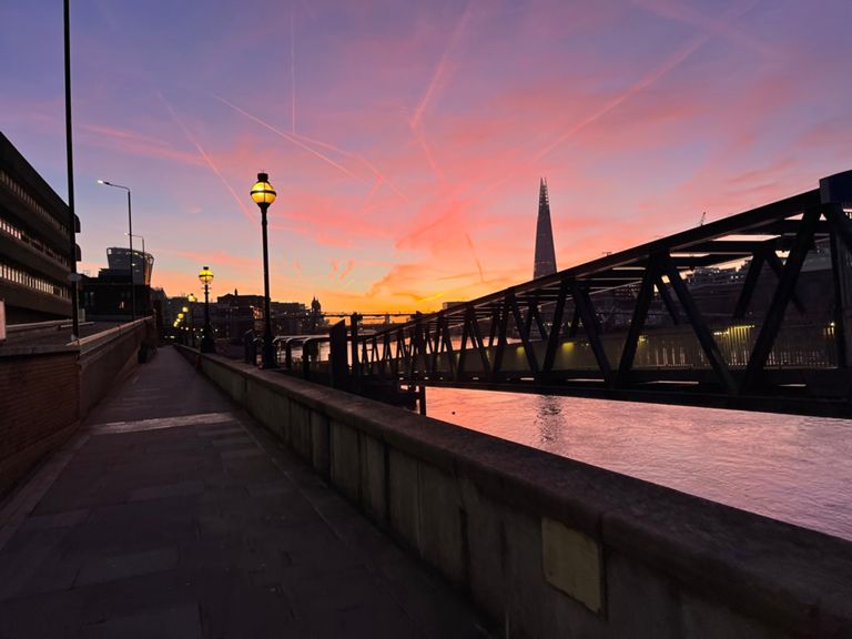
跑步路線
適中
25.69 公里
248 公尺
Mad-Hot
建立者:
Ståle H

路線和海拔
路段
| 名稱 | 距離 | 海拔差異 | 平均坡度 |
|---|---|---|---|
| Out of the way Chavs! | 0.25 公里 | 3 公尺 | 0.5% |
| Cotleigh Road to Jutsums Lane | 1.07 公里 | -3 公尺 | -0.0% |
| London Road Up | 1.89 公里 | 7 公尺 | 0.4% |
| Whalebone to Barley | 2.19 公里 | -10 公尺 | -0.2% |
| Chadwell to Seven Kings | 3.19 公里 | -12 公尺 | -0.2% |
| Manor Park to Stratford | 3.19 公里 | -2 公尺 | -0.0% |
| Mile End Straight | 1.51 公里 | 6 公尺 | 0.4% |
| Regent's Canal: Mile End Rd to Rhodeswell (southbound) | 0.64 公里 | -6 公尺 | -1.0% |
| VLM Mile 22 | 1.86 公里 | 12 公尺 | 0.1% |
| Highway to (fumes) Hell | 1.15 公里 | -6 公尺 | -0.2% |
| VLM Mile 23 | 1.72 公里 | 13 公尺 | 0.4% |
| East Smithfield (down) | 0.47 公里 | -3 公尺 | -0.6% |
| Tower to the Walrus & Carpenter | 0.65 公里 | -7 公尺 | -0.8% |
| Blackfriars Bridge (heading south) | 0.25 公里 | 14 公尺 | 4.0% |
| Blackfriars Bridge NtoS | 0.28 公里 | 16 公尺 | 4.4% |