Strava
Mobile
Features
Subscribe
Maps
Stories
Sign Up
Log In
+ 89
Marshall Wall Loop
Cycling Route
Save
Share
Embed
Copy URL
Export TCX
Export GPX
Print
Details
55.3 mi
3,151 ft
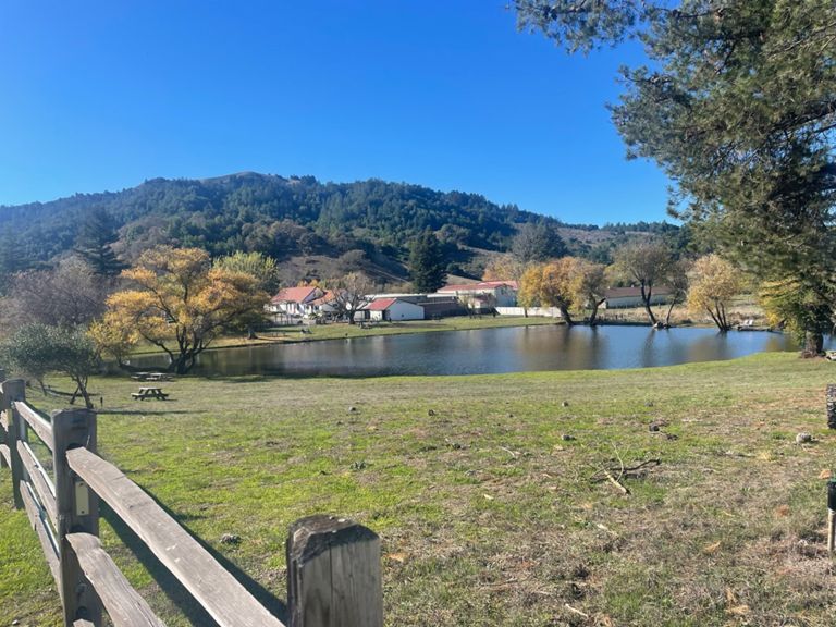
LV, Marshall Wall, PRS, Nicasio, LV
Created By
David Thalman
September 24, 2015
·
Public
Route and Elevation
Segments
Name
Distance
Elev. Diff.
Avg. Grade
Bottom of Big Rock Hill to Summit
0.93 mi
384 ft
7.8%
Lower Big Rock
0.43 mi
190 ft
8.1%
Upper Big Rock
0.42 mi
184 ft
8.1%
Top Big Rock East to NVR
4.83 mi
-427 ft
-1.6%
Skywalker Gate to NVR
2.35 mi
-115 ft
-0.9%
LVR intersection to top of Point Reyes Petaluma Road
5.29 mi
361 ft
1.1%
Nicasio Town Limit Sprint
0.46 mi
-20 ft
-0.8%
Nicasio School House Sprint
0.71 mi
-39 ft
-1.0%
Rancho Nicasio to Pt. Reyes Petaluma Rd
3.04 mi
-49 ft
-0.0%
Roasters sprint
0.13 mi
13 ft
1.1%
Nicasio Valley Road power climb - northbound
0.38 mi
43 ft
2.1%
Pt. Reyes Petaluma Rd North from Nicasio Reservoir
1.41 mi
623 ft
0.0%
Nicasio Reservoir to Cheese Factory
3.14 mi
364 ft
1.4%
Hill to Petaluma
0.67 mi
272 ft
7.6%
Petaluma Rd Descent to Cheese Factory
1.71 mi
-157 ft
-1.7%
cheese factory to base of wilson hill rd
3.58 mi
177 ft
0.1%
Marshall
22.54 mi
-774 ft
-0.2%
Hammock Hill
0.95 mi
161 ft
3.2%
Hicks Valley Rd Climb
0.50 mi
72 ft
2.7%
Wilson Hill to Hwy 1
10.74 mi
-610 ft
-0.5%
Wilson Hill to Marshall Wall
6.43 mi
-230 ft
-0.4%
Marshall Wall
3.25 mi
538 ft
2.6%
Marshall Wall from the east side
1.40 mi
479 ft
6.4%
Marshall Wall to Marshall
4.41 mi
-709 ft
-1.0%
Marshall-Petaluma westbound descent
2.78 mi
-715 ft
-4.8%
BAM!
0.79 mi
-210 ft
-5.0%
1 South - Marshall to Pt Reyes - Petaluma Rd
9.22 mi
144 ft
0.2%
Hog Oyster to Tomales Bay Oyster
4.13 mi
82 ft
0.1%
Marshall to Party's Over
6.17 mi
79 ft
0.1%
Tomales Bay Oyster Comapny Kicker
0.30 mi
59 ft
3.4%
Wind tunnel Marshall 1
3.13 mi
-66 ft
-0.1%
Hwy 1 sling-shot sprint
0.12 mi
-10 ft
-1.6%
Hwy1 kicker south before Point Reyes
0.29 mi
102 ft
6.7%
Hwy1 Point Reyes to Top of Big Rock LVR
14.80 mi
597 ft
0.7%
Nicasio Reservoir East
2.91 mi
128 ft
0.8%
Nicasio Dam Climb
0.62 mi
128 ft
3.9%
Top of dam to Nicasio square
5.47 mi
-52 ft
-0.0%
Last Hill back to Nicasio
1.80 mi
72 ft
0.5%
Nicasio Reservoir to Nicasio Town
2.93 mi
59 ft
0.0%
airplane hill
0.64 mi
46 ft
1.4%
The Final Hill-Sprint back to Nicasio 30mph goal
0.37 mi
33 ft
1.7%
NVR to Skywalker Gate
2.33 mi
115 ft
0.8%
NVR to Big Rock
4.87 mi
413 ft
1.6%
Rock Walker - Skywalker to Big Rock EB
2.53 mi
325 ft
2.4%
Lucas Valley Easbound, final mile to Rock
1.05 mi
213 ft
3.8%
Loma Alta Fire Road Climb
0.19 mi
46 ft
4.1%
Final push to Big Rock
0.68 mi
121 ft
3.4%
LVR last kicker
0.19 mi
59 ft
5.7%
lucas twisties
0.84 mi
-358 ft
-8.0%
Big Rock to Wesgate Dr DH
1.78 mi
-436 ft
-4.5%