
Past Two Weeks


+ 31
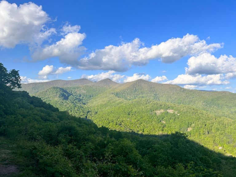
Elk Mountain/Blue Ridge Pkwy/Town Mtn/Sunset Mtn
Cycling Route
Details
18.2 mi
1,971 ft
Beautiful route taking in the Elk Mtn Scenic Hwy climb (featured in Bicycling magazine), a short section on the Blue Ridge Parkway, the "back side of Town Mtn" climb and "S-curves" descent, continuing onto Sunset Mtn down to Kimberly Ave..
Created By
Robyn R

Route and Elevation
Segments
| Name | Distance | Elev. Diff. | Avg. Grade |
|---|---|---|---|
| Elk Mtn Climb from Beverdam Rd | 4.95 mi | 1,444 ft | 5.5% |
| Elk Mountain to Vansteinhousen | 1.53 mi | 512 ft | 6.3% |
| Elk mountain | 2.43 mi | 787 ft | 6.1% |
| Elk Mountain TT | 4.79 mi | 1,312 ft | 5.3% |
| Lung Buster TT | 4.78 mi | 1,329 ft | 5.3% |
| Elk Mountain Road Climb to Buzzards Rock | 4.40 mi | 1,332 ft | 5.7% |
| Elk Mountain from the ridge | 5.25 mi | 1,227 ft | 4.4% |
| Elk Mountain Scenic Hwy Climb | 0.83 mi | 331 ft | 7.5% |
| Lynn Cove Rd Climb | 0.94 mi | 358 ft | 7.2% |
| Elk Wallow Gap to Top | 0.69 mi | 331 ft | 9.0% |
| Pkwy - elk mtn to town mtn | 1.59 mi | -118 ft | -1.0% |
| Blue Ridge Pkwy Climb | 0.88 mi | 295 ft | 6.3% |
| Town Mountain | 1.56 mi | 289 ft | 3.4% |
| Back side town mountain | 1.26 mi | 282 ft | 4.2% |
| Down Town Mtn "S" Curves | 1.14 mi | -305 ft | -5.0% |
| S Turn TT | 0.65 mi | -236 ft | -6.8% |