
上個月


+ 62
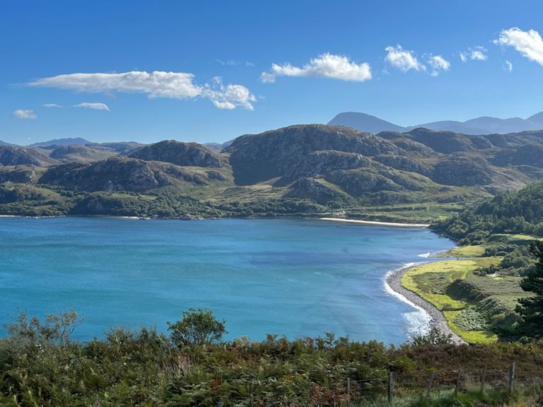
NC500 Stage 3 Kerrysdale to Ullapoole
自行車路線
詳細資訊
94.16 公里
1,441 公尺
94 kms. Start of KOM at 55 kms.
建立者:
Lonán M

路線和海拔
路段
| 名稱 | 距離 | 海拔差異 | 平均坡度 |
|---|---|---|---|
| Down Into Gairloch | 0.80 公里 | -34 公尺 | -4.2% |
| Charlestown to Gairloch | 2.00 公里 | 20 公尺 | 0.4% |
| Mur de Gairloch | 0.83 公里 | 64 公尺 | 7.6% |
| A832 Gairloch to Poolewe Road (climb to summit) | 3.39 公里 | 144 公尺 | 4.2% |
| View point to view point. | 14.41 公里 | -98 公尺 | -0.1% |
| Inverewe Garden Climb | 0.48 公里 | 31 公尺 | 6.5% |
| Lochside Climb | 3.20 公里 | 93 公尺 | 2.9% |
| The Tops to Aultbea | 2.45 公里 | -77 公尺 | -3.0% |
| Aultbea to Laide | 3.44 公里 | 47 公尺 | 0.2% |
| Laide PO to Sand | 1.01 公里 | 18 公尺 | 0.7% |
| Laide to Corrieshalloch | 46.44 公里 | 342 公尺 | 0.4% |
| The Wall | 0.52 公里 | 37 公尺 | 7.0% |
| Second Coast Climb | 1.08 公里 | 62 公尺 | 5.7% |
| Passo Little Loch Broom | 3.28 公里 | 172 公尺 | 5.2% |
| A832 Climb | 2.00 公里 | 143 公尺 | 7.1% |
| Ascent of Ann Teallach | 11.07 公里 | 293 公尺 | 2.6% |
| The Whole of Ann Tealloch right to the top. | 13.00 公里 | 330 公尺 | 2.5% |
| Dundonnel Steep Section | 5.84 公里 | 250 公尺 | 4.3% |
| A832 Climb | 3.05 公里 | 138 公尺 | 4.5% |
| Braemor to Auchindrean | 3.45 公里 | -144 公尺 | -4.2% |
| Descent from Braemore Junction | 6.64 公里 | -168 公尺 | -2.5% |
| Inverbroom Bridge to Braes Junction | 10.97 公里 | 37 公尺 | 0.1% |