| Blue Gum beer sprint | 1.83 公里 | -16 公尺 | -0.3% |
| Alexandria Parade F3 Bridge to Crest | 0.27 公里 | 9 公尺 | 2.5% |
| 2 wheels good 4 wheels bad | 0.70 公里 | -17 公尺 | -1.3% |
| Hornsby Sprint | 0.31 公里 | -11 公尺 | -0.9% |
| Post Office to Fire Station | 0.52 公里 | 5 公尺 | 0.9% |
| Old Berowra Rd Climb | 1.00 公里 | 8 公尺 | 0.8% |
| Galston Road Sprint | 2.28 公里 | -17 公尺 | -0.5% |
| Galston West | 3.05 公里 | 180 公尺 | 5.9% |
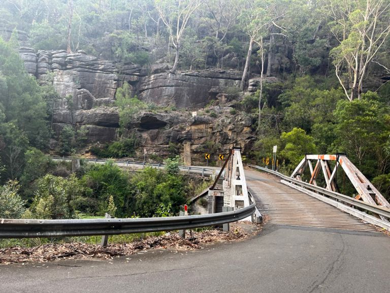
| Galston Gorge West Climb | 2.37 公里 | 140 公尺 | 5.9% |
| Glaston Road Climb | 1.26 公里 | 77 公尺 | 6.1% |
| Carrefour to Wait | 0.63 公里 | 30 公尺 | 4.8% |
| Mid-Dural Rd (West) | 0.62 公里 | 21 公尺 | 3.4% |
| cattai ridge rd to wisemans ferry | 33.03 公里 | -199 公尺 | -0.4% |
| Old Northern Road Climb | 0.76 公里 | 109 公尺 | 14.2% |
| Maroota Bump | 0.52 公里 | 34 公尺 | 6.4% |
| wiesmans downhill smash | 3.13 公里 | -161 公尺 | -4.9% |
| Mangrove Mountain Complete | 10.70 公里 | 283 公尺 | 2.6% |
| Wise Man Climb | 2.08 公里 | 126 公尺 | 6.1% |
| Ironbark Rd to Shops | 3.69 公里 | 41 公尺 | 1.1% |
| Calga TT run home | 12.51 公里 | -136 公尺 | -0.9% |
| Lot 6 Sydney Newcastle Freeway Climb | 2.73 公里 | 100 公尺 | 3.7% |
| Calga to Mt White | 6.02 公里 | 42 公尺 | 0.2% |
| Up to Mt White Road House | 2.06 公里 | 42 公尺 | 2.0% |
| Morgans Rd Climb | 1.74 公里 | -27 公尺 | -0.6% |
| Mt White - Brooklyn descent | 3.55 公里 | -156 公尺 | -4.4% |
| Bottom Mt White to Top Brooklyn | 8.60 公里 | 220 公尺 | 2.3% |
| Brooklyn Climb - Brooklyn turn off to Water Gardens | 4.74 公里 | 206 公尺 | 4.3% |
| Brooklyn Climb | 3.80 公里 | 182 公尺 | 4.7% |
| Brooklyn Ascent - Brooklyn Rd to Pie in the Sky | 3.85 公里 | 183 公尺 | 4.7% |
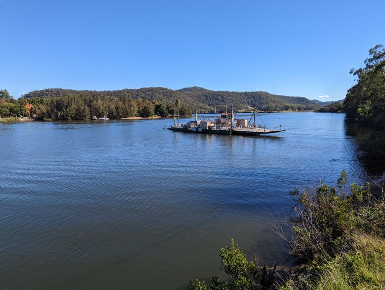
| Brooklyn-to-Berowra | 11.37 公里 | 199 公尺 | 1.6% |
| short brooklyn | 3.25 公里 | 142 公尺 | 4.3% |
| Lot 7040 Pacific Hwy Climb | 0.77 公里 | 35 公尺 | 4.5% |
| Brooklyn climb - last kilometre | 0.89 公里 | 46 公尺 | 5.1% |
| Brooklyn Pie in the Sky Sprint | 0.23 公里 | 7 公尺 | 3.2% |
| Pre Cowan Hill | 0.70 公里 | 19 公尺 | 2.3% |
| Hoongs pinch | 0.23 公里 | 5 公尺 | 2.1% |
| Cowan Southbound | 0.82 公里 | -18 公尺 | -1.4% |
| Cowan Sprint Southbound | 0.33 公里 | -17 公尺 | -5.1% |
| Old Pacific Hwy Climb | 0.68 公里 | 10 公尺 | 1.4% |
| Berowra Tower to Station sprint. | 1.10 公里 | -18 公尺 | -1.1% |
| Tower sprint no kicker | 0.61 公里 | -20 公尺 | -3.1% |
| Pacific Motorway Climb | 0.37 公里 | 4 公尺 | 0.4% |
| Old Road TT | 7.43 公里 | -22 公尺 | -0.1% |
| Beaumont Berg (North) | 0.24 公里 | 12 公尺 | 4.8% |
| Mt Ku-Ring-Gai station to Bobbin turn off TT | 3.29 公里 | -23 公尺 | -0.1% |
| Mt K station to off ramp | 0.25 公里 | 7 公尺 | 2.7% |
| Mount Kuring-gai Shops to Mount Colah | 2.35 公里 | -18 公尺 | -0.1% |
| RUNNING HOME | 0.89 公里 | -22 公尺 | -1.6% |
| Sherbrook Rd Climb | 0.59 公里 | 8 公尺 | 1.3% |
| High School Musical | 1.04 公里 | -11 公尺 | -0.1% |