


+ 9
Possible commute 3
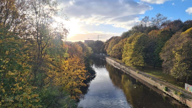
Cycling Route
Details
10.19 mi
662 ft
Commute to work trying to use cycle paths
Created By
Paul Flook

Route and Elevation
Segments
| Name | Distance | Elev. Diff. | Avg. Grade |
|---|---|---|---|
| Chancelot Path South East | 0.47 mi | -39 ft | -1.6% |
| Five Ways to North Junction Lvl Crossing | 0.46 mi | -43 ft | -1.7% |
| Ninja Path | 0.45 mi | -39 ft | -1.7% |
| Victoria Path to the Water | 0.49 mi | -16 ft | -0.3% |
| Across Leith Links to Restalrig Road | 0.35 mi | 13 ft | 0.5% |
| Leith Links to Restalrig Roundabout | 0.57 mi | 52 ft | 1.7% |
| Co-op blast | 0.09 mi | -3 ft | -0.3% |
| Up the brae - to traffic lights | 0.13 mi | 46 ft | 6.3% |
| Up in smoke | 0.09 mi | 43 ft | 9.1% |
| Willowbrae - Duddingston Rd | 0.84 mi | 46 ft | 0.1% |
| Willowbrae from Abercorn Climb Only | 0.28 mi | 39 ft | 1.1% |
| Thistle Timber to Danderhall | 0.95 mi | 174 ft | 3.4% |
| The Wisp | 0.92 mi | 141 ft | 2.6% |
| Ferniehill (Road to Drive) | 0.46 mi | 66 ft | 2.6% |
| Gilmerton road descent | 0.54 mi | -75 ft | -2.7% |
| Bypass to dobbies | 0.54 mi | -26 ft | -0.1% |