


+ 49
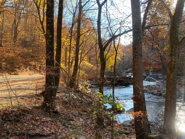
Boundary Bridge
跑步路線
適中
11.34 英里
1,188 呎
12 Miles from Mt. Pleasant Bike Share around Rock Creek Trails.
建立者:
Eric Merrill
路線和海拔
路段
| 名稱 | 距離 | 海拔差異 | 平均坡度 |
|---|---|---|---|
| Valley Trail climb from Park Rd | 0.14 英里 | 92 呎 | 12.5% |
| Climb Time | 0.06 英里 | 75 呎 | 21.6% |
| Bingham to Pine Trail | 1.12 英里 | 85 呎 | 1.3% |
| Riley Springs Bridge to Boundary Bridge | 0.73 英里 | -75 呎 | -0.2% |
| Pine to Western Ridge | 1.24 英里 | -75 呎 | -1.0% |
| Final Stretch to The Line | 0.18 英里 | -23 呎 | -1.9% |
| Wisen Up | 0.46 英里 | 105 呎 | 4.2% |
| Western Ridge Tr. - Beach to Bingham | 1.55 英里 | 125 呎 | 0.5% |
| Beach Dr Nw Climb | 0.25 英里 | 138 呎 | 10.4% |