| North County Road 19 Climb | 0.21 mi | 289 ft | 25.9% |
| Ct Rd 23 to 34 | 6.96 mi | 249 ft | 0.0% |
| W Co Rd 12, from N Co Rd 23 west and north to summit | 2.32 mi | 259 ft | 2.1% |
| Hog's Back Descent to 1st (N-S) | 3.89 mi | -262 ft | -0.5% |
| Road 29E | 4.28 mi | -249 ft | -1.1% |
| 1st to Eisenhower | 1.70 mi | -46 ft | -0.5% |
| Hi 34 CR 29 to top before Dam Store | 1.23 mi | 190 ft | 2.9% |
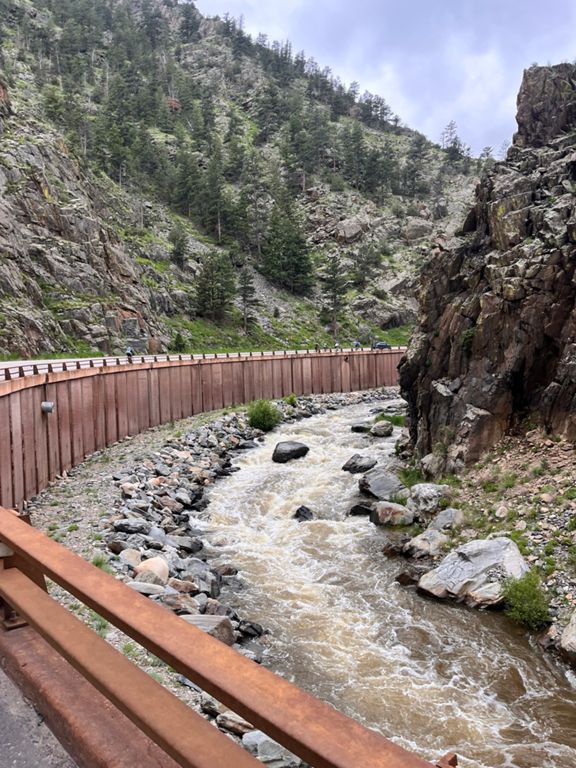
| Dam Store to Drake Sign | 7.52 mi | 856 ft | 2.1% |
| USAPC stage 6 long climb | 17.68 mi | 2,552 ft | 2.7% |
| Lower BigThompson, Pipe to Cedar Cove | 3.37 mi | 472 ft | 2.7% |
| Cedar Cove Climb | 0.69 mi | 151 ft | 4.2% |
| Drake to Glenhaven | 7.19 mi | 1,053 ft | 2.8% |
| Drake to the top of the switchbacks above Glen Haven | 10.06 mi | 1,693 ft | 3.2% |
| Drake to Estes Park past Lumpy Ridge | 14.52 mi | 1,788 ft | 1.8% |
| County Road 43 Climb | 0.82 mi | 272 ft | 6.3% |
| Cinnamon Roll Climb | 2.57 mi | 778 ft | 5.7% |
| Glen Haven to the top of the switchbacks | 2.29 mi | 689 ft | 5.7% |
| Glen Haven to the top (Long's Peak View) | 2.38 mi | 745 ft | 5.9% |
| Devils Gulch Rd Climb | 1.03 mi | 469 ft | 8.6% |
| Devils Rd Gulch switchbacks | 0.54 mi | 289 ft | 10.1% |
| USAPCC KOM Final km | 0.64 mi | 325 ft | 9.6% |
| Eagle Rock Drive Climb | 0.43 mi | 279 ft | 12.1% |
| North DG punch | 0.27 mi | 85 ft | 5.8% |
| North Lane Climb | 0.76 mi | 308 ft | 7.6% |
| Just get me to the top!! | 3.24 mi | 587 ft | 3.1% |
| Causeway East | 0.45 mi | 20 ft | 0.3% |
| Lake Estes Path Punch | 0.08 mi | 26 ft | 5.9% |
| TB Climb | 1.21 mi | 233 ft | 3.6% |
| Better West of Estes: Mall Rd to Pole Hill Rd | 3.90 mi | 535 ft | 1.1% |
| Mall to Pole | 2.27 mi | 505 ft | 4.2% |
| West From Estes | 1.71 mi | 479 ft | 5.3% |
| North Saint Vrain Avenue Climb | 0.78 mi | 272 ft | 6.6% |
| Down 36- Estes to Lyons | 16.30 mi | -2,605 ft | -3.0% |
| Fruit Loops a downhill | 2.30 mi | -151 ft | -1.2% |
| Lyons to 66 & 36 | 1.21 mi | -82 ft | -1.3% |
| Lyons to 66 & 75th | 5.07 mi | -184 ft | -0.7% |
| Tourist Trap | 0.19 mi | -7 ft | -0.7% |
| Highway 66 - 36 to 75th | 3.83 mi | -98 ft | -0.5% |
| N Foothills to N 63rd | 2.15 mi | -66 ft | -0.6% |
| Get your kicks | 3.51 mi | -98 ft | -0.5% |
| Billy Bob Highway | 3.08 mi | -72 ft | -0.4% |
| Trainer Vanacker 2 mile TT | 2.01 mi | -46 ft | -0.4% |
| Hayman to 75th | 1.52 mi | -30 ft | -0.3% |
| North 75th (Hwy 66 to Top Turn) | 1.98 mi | 118 ft | 1.1% |
| 66 & 75th to 75th & Woodland Rd | 1.95 mi | 108 ft | 1.0% |
| 75th & Woodland Rd to Woodland Rd & 83rd | 0.93 mi | -69 ft | -1.4% |
| Woodland 75th to 87th | 1.39 mi | -115 ft | -1.6% |
| Woodland - 87th to 95th | 0.93 mi | -49 ft | -1.0% |
| S. Co Rd 21 Rollers- Northbound | 1.83 mi | 56 ft | 0.1% |
| Is the light green? | 1.08 mi | -39 ft | -0.7% |