
Mês passado


+ 191
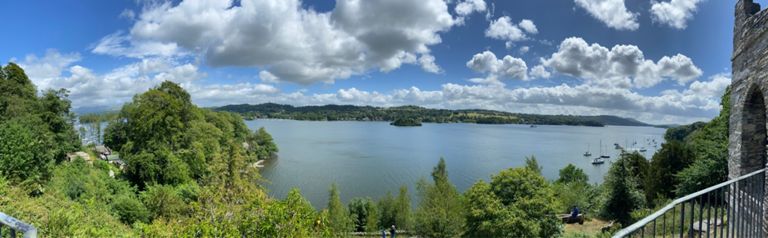
Windermere Coniston
Rota de ciclismo
Detalhes
29,67 milhas
2 890 pés
To Pepper Cottage
Criado por
Gillian B

Rota e elevação
Segmentos
| Nome | Distância | Dif. Elevação | Inclinação Média |
|---|---|---|---|
| The Queens to the Co-op | 0,11 milhas | -16 pés | -2,7% |
| Old Cottage Cottages Climb | 0,26 milhas | 427 pés | 30,0% |
| Lake Road Turn and Burn | 0,78 milhas | -95 pés | -2,3% |
| Through Bowness | 0,21 milhas | -30 pés | -1,3% |
| Ferry Nab Sprint | 0,14 milhas | -10 pés | -0,4% |
| Ont Ferry | 0,32 milhas | 10 pés | 0,2% |
| Ferry Slow! | 0,99 milhas | 180 pés | 3,3% |
| Standard ferry sprint | 0,30 milhas | 10 pés | 0,5% |
| from the ferry | 1,46 milhas | 217 pés | 2,7% |
| Ferry Hill Climb | 0,89 milhas | 217 pés | 4,3% |
| OLD VERSION - off the ferry and up the hill! | 0,56 milhas | 233 pés | 7,6% |
| Ferry to top | 0,43 milhas | 240 pés | 10,4% |
| Climb up from Ferry | 0,57 milhas | 210 pés | 6,6% |
| Devils Gallop | 0,69 milhas | 220 pés | 5,4% |
| Can Wood Steep Bit | 0,45 milhas | 180 pés | 7,5% |
| Ouch! | 0,48 milhas | 190 pés | 7,4% |
| Starting off through Finsthwaite | 0,35 milhas | 92 pés | 4,8% |
| The Pig Run | 1,60 milhas | -249 pés | -2,3% |
| Parrock Woods DH | 0,33 milhas | -125 pés | -7,1% |
| Causeway to Black Beck | 0,44 milhas | -20 pés | -0,2% |
| Bouth to crossroads on way to Spark Bridge | 1,60 milhas | 167 pés | 0,8% |
| Spark Bridge to Lowick Bridge Climb | 0,83 milhas | 131 pés | 3,0% |
| Colton Hill - Sayles Farm | 0,76 milhas | 118 pés | 2,9% |
| Bank Wood | 0,59 milhas | -79 pés | -2,1% |
| East side of Coniston, South to North | 6,06 milhas | 148 pés | 0,2% |
| Coniston Water eastern shore-South to North | 6,30 milhas | -164 pés | -0,0% |
| Water Park ferry landing checkpoint | 1,04 milhas | 49 pés | 0,8% |
| Lake Bank Climb | 0,34 milhas | 295 pés | 16,0% |
| Brantwood checkpoint | 3,69 milhas | -89 pés | -0,1% |
| Coniston Water road start | 3,87 milhas | 148 pés | 0,6% |
| Kye Wood checkpoint | 0,86 milhas | 128 pés | 2,8% |
| Low Bank short climb | 0,20 milhas | 52 pés | 5,0% |
| Top of Lake sprint | 0,48 milhas | -105 pés | -4,1% |
| Hawkshead Hill Climb | 1,43 milhas | 515 pés | 6,8% |
| Pull out of Coniston | 1,44 milhas | 528 pés | 7,0% |
| Hawkshead Hill | 1,33 milhas | 492 pés | 7,0% |
| Hawkshead Hill (from Coniston) | 1,23 milhas | 489 pés | 7,5% |
| Hawkshead Hill (from Tarn Hows exit) | 1,06 milhas | 420 pés | 7,5% |
| X5 tank slapper | 0,60 milhas | -112 pés | -2,8% |