


+ 18
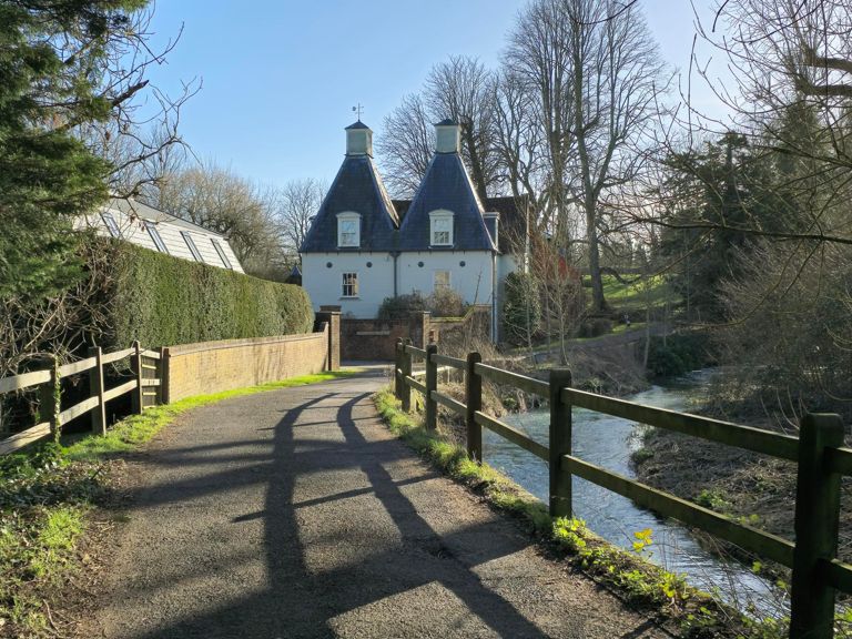
Farnham Bike Ride and Sportive 50 Mile Route
Rota de ciclismo
Detalhes
50,36 milhas
3 410 pés
Farnham Bike Ride and Sportive 50 Mile Route
Criado por
Richard Bousfield

Rota e elevação
Segmentos
| Nome | Distância | Dif. Elevação | Inclinação Média |
|---|---|---|---|
| Drum Drag Strip | 0,21 milhas | 13 pés | 1,1% |
| The Meter High Club | 0,16 milhas | -7 pés | -0,9% |
| Crondall Hill | 0,34 milhas | 112 pés | 6,2% |
| Sprint to Waynflete | 0,19 milhas | 26 pés | 2,7% |
| Up & Over to Crondall | 0,83 milhas | 118 pés | 1,6% |
| Farnham to Crondall | 3,03 milhas | 180 pés | 0,3% |
| Gotta Need For Speed | 0,31 milhas | -62 pés | -3,2% |
| Dippenhall to Doras Green Ln | 0,31 milhas | 56 pés | 2,9% |
| Along the Crondall Rd Part1 | 0,83 milhas | -105 pés | -2,1% |
| Dippy dash | 1,33 milhas | -128 pés | -1,8% |
| Clare Park Flyer | 0,16 milhas | -20 pés | -2,3% |
| Crondall to Hole Lane turning | 1,27 milhas | 121 pés | 1,8% |
| 2Min PI Well Road | 0,66 milhas | 79 pés | 2,2% |
| Well Road Hill junction to junction | 0,28 milhas | 43 pés | 2,9% |
| Well Drag | 1,79 milhas | 118 pés | 1,2% |
| From the bottom of the Well | 1,85 milhas | 102 pés | 0,1% |
| Back up to Well | 0,27 milhas | 46 pés | 3,3% |
| Down White Hill | 0,42 milhas | -85 pés | -3,2% |
| White Hill dip | 0,46 milhas | -98 pés | -1,3% |
| Up to Wandsworth, down to Sutton | 1,04 milhas | -62 pés | -0,1% |
| Hayley down | 0,95 milhas | -98 pés | -1,9% |
| Lower Froyle Dash | 1,06 milhas | -62 pés | -1,1% |
| Climb to Isington Lane | 0,20 milhas | 13 pés | 1,3% |
| Wey up to Isington | 0,10 milhas | 39 pés | 7,7% |
| Wey To Binsted | 1,09 milhas | 197 pés | 3,3% |
| Up to Binsted | 0,28 milhas | 62 pés | 4,2% |
| Isington Road to CLays Lane | 1,19 milhas | -115 pés | -1,7% |
| Wyck | 2,04 milhas | 148 pés | 1,3% |
| Worldham Kick | 0,17 milhas | 49 pés | 5,2% |
| S2 to Junction | 1,82 milhas | -72 pés | -0,1% |
| Brightstone Lane HC | 0,85 milhas | 194 pés | 4,2% |
| final sprint | 0,18 milhas | 59 pés | 5,9% |
| Hawthorn Lane | 0,56 milhas | 121 pés | 3,9% |
| Let's go | 1,30 milhas | -49 pés | -0,5% |
| Binsted Climb | 2,02 milhas | 223 pés | 2,0% |
| Glasshouse slog | 0,29 milhas | 79 pés | 5,1% |
| Binsted Ramp | 0,11 milhas | 49 pés | 8,5% |
| Binstead Ramp | 0,26 milhas | 95 pés | 6,7% |
| last push | 0,11 milhas | 16 pés | 3,0% |
| Binsted > Blacknest | 1,01 milhas | -203 pés | -3,3% |
| Jolly Farmer Flyer | 0,57 milhas | -82 pés | -2,7% |
| Blacknest to Bentley | 1,80 milhas | 66 pés | 0,3% |
| Station road to A31 flyover | 0,47 milhas | 36 pés | 1,1% |
| Under 't' Bridge | 0,57 milhas | 92 pés | 3,0% |
| Bently Hill (Full to cross roads) | 1,51 milhas | 164 pés | 1,9% |
| Hole Ln Climb | 0,27 milhas | 30 pés | 2,1% |
| Peak Uno | 0,47 milhas | 141 pés | 5,0% |
| Dick's Wood Dash | 1,13 milhas | -75 pés | -0,6% |
| crondall lane kick | 0,19 milhas | 30 pés | 2,5% |
| crondall lane last Farnham climb | 0,34 milhas | 69 pés | 3,4% |