| Posh Ground Sprint | 0.18 mi | 10 ft | 0.9% |
| Glebe Rd To St Johns Rd Sprint | 0.26 mi | -16 ft | -1.0% |
| Bollards To Bollards - Fastest Wins | 0.20 mi | 3 ft | 0.2% |
| Polish Club Vodka Dash From Underpass | 0.12 mi | 7 ft | 0.8% |
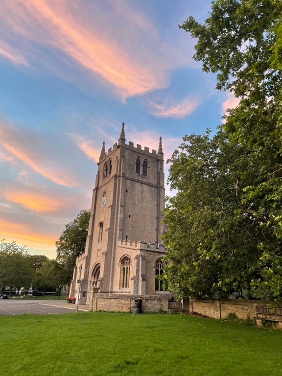
| Stanground Church 2 Scout Hut | 0.57 mi | -16 ft | -0.2% |
| Scout Hut To Rail Bridge | 0.57 mi | -20 ft | -0.5% |
| Stanground lock to Millennium Bridge | 1.86 mi | -20 ft | -0.1% |
| Millenium Bridge to Whittesey | 1.47 mi | 43 ft | 0.2% |
| Along the bank | 1.15 mi | 36 ft | 0.1% |
| Whittlesey to Turves Turn | 3.13 mi | -26 ft | -0.1% |
| Old roundabout to new roundabout | 0.66 mi | -10 ft | -0.2% |
| Whittlesey to Coates | 1.75 mi | -26 ft | -0.2% |
| The Dip to Coates | 1.06 mi | 13 ft | 0.1% |
| Eastrea to Coates Dash | 1.01 mi | -7 ft | -0.1% |
| Escape to Wimbo | 1.46 mi | -7 ft | -0.0% |
| Roundhouse Drove | 1.52 mi | 7 ft | 0.0% |
| Roadhouse to Puddock Drove | 0.59 mi | -7 ft | -0.1% |
| Hollow Lane | 0.95 mi | -10 ft | -0.2% |
| Puddock Road to Hollow Drove | 0.94 mi | 7 ft | 0.1% |
| Ramsey Hollow Drove Drag | 1.25 mi | 10 ft | 0.0% |
| Hollow Lane Sprint | 0.55 mi | -3 ft | -0.0% |
| After dinner mint | 0.37 mi | 20 ft | 1.1% |
| Upwood Road Ramsey Road | 1.49 mi | 33 ft | 0.2% |
| Way to Wennington | 1.36 mi | 39 ft | 0.5% |
| Walton Drop | 0.41 mi | -23 ft | -1.0% |
| To the railway crossing | 1.52 mi | 23 ft | 0.2% |
| Holme to Home | 2.84 mi | 30 ft | 0.1% |
| h | 2.68 mi | -36 ft | -0.1% |
| Home to Yaxley | 2.68 mi | -36 ft | -0.1% |
| Holme Lode to Leading Drove | 1.93 mi | -7 ft | 0.0% |
| testseg1 | 1.05 mi | 7 ft | 0.1% |
| Up Church Street Hill - Yaxley | 0.35 mi | 59 ft | 3.2% |
| Church Street/ Dovecote Lane, Yaxley Climb | 0.42 mi | 62 ft | 2.8% |
| BP to Eagle Way. | 0.90 mi | -46 ft | -0.6% |
| Yaxley to Hampton | 0.69 mi | -30 ft | -0.8% |
| Yaxley Lights to Fletton Parkway | 2.20 mi | -49 ft | -0.2% |
| Between the junctions | 0.44 mi | -13 ft | -0.6% |
| London Road Stretch | 0.85 mi | -39 ft | -0.8% |