route-highlight
Semana passada
route-highlight
route-highlight
route-highlight
route-highlight
route-highlight
+ 46

Race Across the West (RAW 2016)

Rota de ciclismo

Detalhes
928,2 milhas
44 063 pés
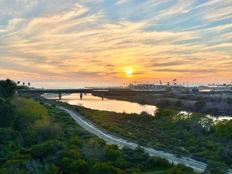
This is the preliminary course. I used the "auto" feature liberally, but I checked and everything seems right on course. Let me know (jon@supercheapsigns.com) if there is some need for adjusting.
Criado por
Jon Holmquist

Rota e elevação

Segmentos

NomeDistânciaDif. ElevaçãoInclinação Média
Beach to Douglas East Bike Path5,49 milhas52 pés0,1%
SLR East Bound Mile 0-7 TT7,00 milhas69 pés0,1%
SLR East -- Canyon Dr Twist to MB Park5,34 milhas69 pés0,2%
Oceanside Airport Sprint0,72 milhas10 pés0,3%
Just this little part0,95 milhas26 pés0,2%
East River Trail Sprint1,51 milhas20 pés0,2%
Douglas to College EB1,75 milhas20 pés0,2%
East Sprint Finish0,63 milhas7 pés0,2%
Sleeping Indian full climb2,21 milhas531 pés4,4%
Sleeping Indian - Just the climb0,51 milhas285 pés10,6%
Camino Del Rey East4,57 milhas131 pés0,5%
Old Castle Road1,77 milhas577 pés6,2%
BWR Lilac3,29 milhas358 pés1,8%
Lilac Rd Climb1,49 milhas279 pés3,5%
Rincon Descent3,17 milhas-669 pés-4,0%
California 76 Climb0,87 milhas272 pés5,9%
Palomar: Taco Shop to 76/South Grade split4,97 milhas1 621 pés6,2%
san felipe junction to the top6,57 milhas886 pés2,5%
Montezuma 4200 to 1000 Topographical Blitz 9,67 milhas-3215 pés-6,3%
Montezuma Grade Descent9,77 milhas-3031 pés-5,9%
BS Dragstrip1,70 milhas-167 pés-1,9%
Texas Dip SE1,15 milhas121 pés0,4%
westmorland 2 brawley5,67 milhas75 pés0,2%
Back to B-Town3,52 milhas39 pés0,2%
Hobo Hill0,23 milhas39 pés3,1%
Fly by Night6,40 milhas-377 pés-1,1%
Yarnell Hill Climb from Congress Jct.8,30 milhas1 903 pés4,2%
White Spar Hwy Climb3,23 milhas840 pés4,9%
Yarnell Hill Climb4,40 milhas1 207 pés5,2%
White Spar Highway Climb1,04 milhas276 pés5,0%
White Spar Highway Climb1,02 milhas272 pés5,0%
White Spar Highway Climb0,97 milhas289 pés5,6%
Yarnell Overlook Climb1,19 milhas397 pés5,4%
Stoney Ridge Way Climb1,02 milhas266 pés4,9%
Down To Peebles4,93 milhas-354 pés-0,9%
No Mans Land3,93 milhas-210 pés-0,9%
Skull Valley Cemetery to Summit10,42 milhas1 549 pés2,8%
Tri Turn around point to summit4,09 milhas965 pés4,3%
Iron Springs Descent from Skyline to Tolemac2,74 milhas-643 pés-4,2%
Wildwood to Sierra Peaks0,81 milhas112 pés1,4%
Iron Springs > Tolemac to Grandview Climb0,87 milhas128 pés2,8%
Iron Springs > Williamson Valley Rd to Gail Gardner Descent0,83 milhas-112 pés-2,5%
GH 2 Rob1,22 milhas-36 pés-0,4%
Jerome School to First Roundabout3,91 milhas-1115 pés-5,4%
89 Sprint (#1 to Black Hills)2,12 milhas-207 pés-1,8%
West Highway 89A Climb0,34 milhas568 pés31,2%
General Crook Trail Climb2,76 milhas945 pés6,5%
General Crook first trail climb8,38 milhas2 339 pés5,3%
Climbing to Happy Jack6,55 milhas741 pés2,1%
U.S. 160 Climb1,07 milhas292 pés5,2%