


過去 2 週


+ 11
LE2JOG Day 8 v1.0
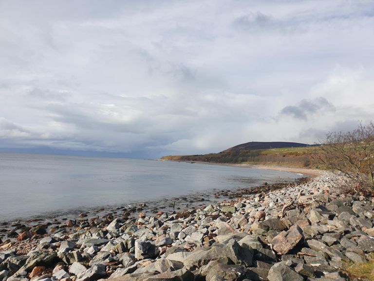
自行車路線
詳細資訊
101.26 英里
6,130 呎
101 miles 6100ft
建立者:
'H' W

路線和海拔
路段
| 名稱 | 距離 | 海拔差異 | 平均坡度 |
|---|---|---|---|
| Evanton to The Wheel Inn | 1.27 英里 | -33 呎 | -0.1% |
| Ballacraggan Straight | 1.09 英里 | 52 呎 | 0.3% |
| alness-tain back road | 10.66 英里 | 299 呎 | 0.1% |
| The Wayward Drive | 1.22 英里 | -49 呎 | -0.3% |
| Scotsburn rise | 1.68 英里 | 121 呎 | 1.3% |
| Caravan corner to A9 | 9.52 英里 | 269 呎 | 0.1% |
| Cleared wood to Postman Pat Bridge | 1.98 英里 | -52 呎 | -0.4% |
| Top of Scotsburn | 0.97 英里 | 128 呎 | 2.5% |
| Aldie Burn Post Box run | 0.94 英里 | -220 呎 | -0.4% |
| back to tain | 2.73 英里 | -210 呎 | -1.1% |
| Flight towards Tain | 2.11 英里 | -203 呎 | -1.8% |
| Dornoch Bridge North | 1.26 英里 | -49 呎 | -0.7% |
| Dornoch Bridge Sprint | 0.91 英里 | 30 呎 | 0.4% |
| A9 Climb | 0.32 英里 | 295 呎 | 17.3% |
| The rise after the fall | 0.97 英里 | 52 呎 | 1.0% |
| Tall Pines to the Trentham | 1.67 英里 | 46 呎 | 0.5% |
| run into Golspie | 2.38 英里 | -125 呎 | -0.1% |
| Mound-Golspie | 3.23 英里 | -108 呎 | -0.5% |
| The Mound to Brora. | 9.13 英里 | -174 呎 | -0.2% |
| The Golspie Gallop! | 3.19 英里 | -105 呎 | -0.6% |
| Brakes Smoking | 37.54 英里 | 735 呎 | 0.1% |
| Queen'S Dr Climb | 2.12 英里 | 774 呎 | 6.9% |
| Balls out to Brora! | 4.00 英里 | -128 呎 | -0.6% |
| Short and Sharp | 0.22 英里 | 16 呎 | 0.1% |
| brora to helmsdale | 9.41 英里 | -210 呎 | -0.1% |
| Quick descent | 1.16 英里 | -200 呎 | -3.1% |
| Bonehill hill | 3.47 英里 | 656 呎 | 3.5% |
| Helmsdale to the top of the Beridale's | 10.07 英里 | 709 呎 | 0.9% |
| Helmsdale | 2.54 英里 | 581 呎 | 4.3% |
| Navidale | 2.10 英里 | 541 呎 | 4.9% |
| The Long One | 2.29 英里 | 479 呎 | 3.9% |
| Brakes Smoking | 0.80 英里 | -400 呎 | -9.4% |
| Beridales Braes Bottom to the Top | 1.35 英里 | 456 呎 | 6.3% |
| Climb off and lie down.... | 0.58 英里 | 269 呎 | 8.7% |
| Berriedale | 0.95 英里 | 417 呎 | 8.3% |
| A9 Climb | 1.03 英里 | 52 呎 | 0.6% |
| Topping out the Beridale's | 0.39 英里 | 39 呎 | 1.5% |
| Museum climb | 1.50 英里 | 266 呎 | 3.0% |
| A9 Climb | 1.11 英里 | 515 呎 | 8.8% |
| A99 Climb | 1.53 英里 | 279 呎 | 3.4% |
| nearly there | 9.49 英里 | 151 呎 | 0.2% |
| Towick | 7.60 英里 | 112 呎 | 0.3% |
| A99 Climb | 2.04 英里 | 417 呎 | 3.9% |
| Wick High Street to North Road | 0.47 英里 | 56 呎 | 2.3% |
| Wick to JoG | 16.08 英里 | -328 呎 | -0.0% |
| Run into JOG | 13.12 英里 | -272 呎 | -0.2% |
| Freswick Sprint | 1.18 英里 | 121 呎 | 1.7% |
| A99 Climb | 1.50 英里 | 279 呎 | 3.5% |
| The Last Hill | 1.29 英里 | 240 呎 | 3.5% |
| A99 Climb | 0.26 英里 | 62 呎 | 4.5% |