Strava
Móvel
Recursos
Assinar
Mapas
Histórias
Inscreva-se
Fazer login
+ 61
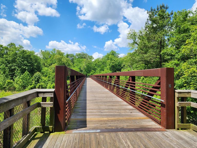
Falls of Neuse to Clayton Walk
Rota de Ciclismo
Salvar
Compartilhar
Incorporar
Copiar URL
Exportar TCX
Exportar GPX
Imprimir
Moderado
53,96 mi
1.202 pés
54 mi, 95% greenway
Criado por
Luis Rangel
2 de junho de 2016
·
Público
Rota e elevação
Segmentos
Nome
Distância
Dif. de elev.
Inclinação média
NRT_South_FOTN_Start
16,64 mi
-62 pés
-0,0%
NRT_South_FOTN_to_401
7,48 mi
-43 pés
-0,0%
Falls of Neuse to Buffaloe Rd (trail)
10,40 mi
-49 pés
-0,0%
Greenway New Falls bridge to WRAL
6,06 mi
-39 pés
-0,0%
Greenway entrance to Capital Blvd bridge
2,06 mi
-36 pés
-0,0%
Enchanted Hollow Way to Anderson Point Dr Trail End
15,48 mi
-49 pés
-0,0%
Abbotts Creek Trail to Anderson Point Picnic Area
14,65 mi
-56 pés
-0,0%
Rte 1 to soccer fields
2,95 mi
-10 pés
-0,1%
Soccer Fields to Horseshoe Farms
1,33 mi
-26 pés
-0,1%
Soccer Field to Anderson Point Drive Meetup
10,51 mi
-36 pés
-0,0%
Neuse Trail Head Lane to Anderson Point
8,27 mi
-30 pés
-0,0%
Spicy Hot Wings
0,48 mi
10 pés
0,2%
Buffaloe Rd to Anderson Point
6,25 mi
43 pés
0,0%
Buffalo Rd Park to N Hedingham (Adington Ln)
2,18 mi
26 pés
0,1%
Buffalo park trail enterance to last corner before construction
10,29 mi
-59 pés
-0,0%
Bridge after Buffalo sign to parking lot before 64 overpass
5,58 mi
39 pés
0,0%
N Hedingham to Auburn-Knightdale Rd.
8,46 mi
-62 pés
-0,1%
N Hedingham to Anderson Point Park Picnic Area
4,00 mi
-49 pés
-0,0%
N Hedingham to Poole Rd
5,56 mi
-59 pés
-0,1%
Past the crappy bridge to Poole Rd exit
4,25 mi
-52 pés
-0,1%
Old Milburnie Dam to Mingo Creek
1,78 mi
-20 pés
-0,1%
Straight Shot Sprint
0,27 mi
3 pés
0,2%
Bonus Hill Sprint
0,12 mi
26 pés
3,4%
Point to Walnut
1,75 mi
-49 pés
-0,1%
Mure De Riverview
0,14 mi
16 pés
2,2%
Riverview KOM
0,11 mi
30 pés
4,4%
Rock Garden Gateway to Neuse Trailhead
3,42 mi
-39 pés
-0,2%
Whirl Poole
4,82 mi
112 pés
0,4%
Battle Bridge Rd to Old Baucom Rd Climb
1,40 mi
112 pés
1,5%
Battle Bridge to Brownfield Climb
0,59 mi
72 pés
2,3%
HARD Left
1,45 mi
-59 pés
-0,5%
River to Brownfield Rd. Climb
1,33 mi
141 pés
1,8%
River to Baucom Road Climb
0,55 mi
72 pés
2,4%
Greenway along Old Baucom Road
0,82 mi
56 pés
1,3%
Shoot the Gap Tunnel Run
2,64 mi
-118 pés
-0,8%
Auburn to Anderson Park Sprint
4,27 mi
49 pés
0,0%
Poole To Auburn Knightdale
3,25 mi
20 pés
0,0%
Auburn to Riverview
3,37 mi
33 pés
0,2%
Shortest big climb
0,31 mi
30 pés
1,5%
Anderson Point Park Picnic Area to Abbotts Creek Trail
14,68 mi
49 pés
0,0%
NRT_North_AP_Park_to_FOTN
16,69 mi
62 pés
0,0%
Neuse River Greenway North Half (Anderson Park to end)
17,42 mi
62 pés
0,0%
Anderson Point PRKG to Allen Dr entry
2,35 mi
-30 pés
-0,1%
Anderson Point to Trailhead Lane
8,40 mi
52 pés
0,0%
Anderson Point Parking Lot to N Hedingham Bridge
3,62 mi
-46 pés
-0,0%
Anderson Point to Abingdon Ln
8,40 mi
-39 pés
-0,0%
Old milburnie dam to soccer park stop sign
8,65 mi
39 pés
0,0%
Buffaloe Rd to Falls of Neuse (trail parking lot)
10,96 mi
49 pés
0,1%
Greenway entrance to bridge
1,52 mi
10 pés
0,0%
Green-way to End
6,29 mi
46 pés
0,0%