Strava
Móvel
Recursos
Assinar
Mapas
Histórias
Inscreva-se
Fazer login
+ 22
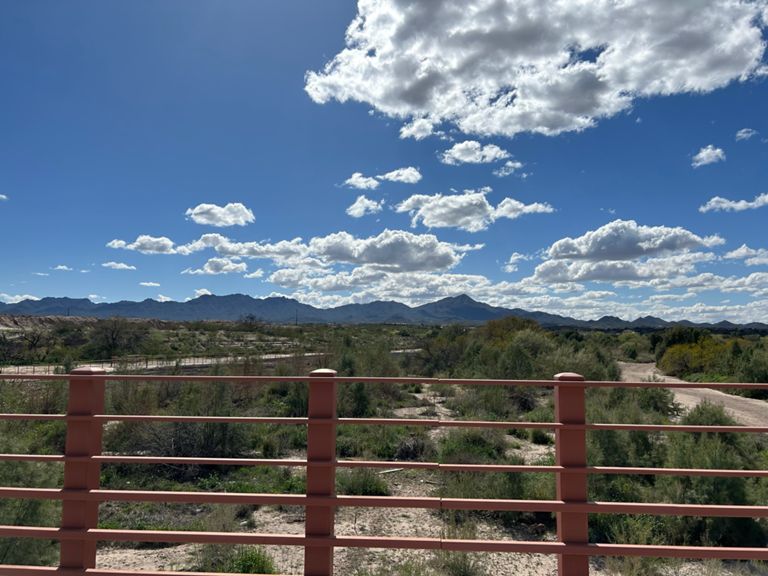
Cortaro_Valencia
Rota de Ciclismo
Salvar
Compartilhar
Incorporar
Copiar URL
Exportar TCX
Exportar GPX
Imprimir
Detalhes
41,6 mi
692 pés
Santa Crup Loop
Criado por
Matthew Nickum
13 de junho de 2016
·
Público
Rota e elevação
Segmentos
Nome
Distância
Dif. de elev.
Inclinação média
cortaro to ina
1,23 mi
23 pés
0,3%
JD-Frontage Road South
1,27 mi
46 pés
0,1%
The Big Drop
0,28 mi
-3 pés
-0,1%
Gravel Pit South
0,48 mi
-13 pés
-0,1%
Full Loop Bump
0,26 mi
10 pés
0,6%
loop bump
0,15 mi
7 pés
0,8%
JD-Loop: Bird Watcher's Paradise
0,36 mi
10 pés
0,4%
Pecan Trees to Camino Del Cerro TT
1,50 mi
30 pés
0,2%
Pecon tree sprint
0,34 mi
7 pés
0,4%
JD-Don't Appease Complainers-1
0,53 mi
10 pés
0,2%
JD Loop: TIC 2 Sunset Sprint
0,50 mi
10 pés
0,1%
Bike shop lane south
0,23 mi
10 pés
0,3%
Santa Rita South
5,78 mi
85 pés
0,2%
Camino Del Cerro TT-South
2,97 mi
43 pés
0,2%
Santa Cruz South
6,11 mi
144 pés
0,3%
Silverbell Lake to Sharp Left Turn over Bridge
2,78 mi
43 pés
0,3%
Finishing Sprint-South
0,69 mi
-20 pés
-0,2%
Santa Cruz (Sweetwater to Grant)
3,25 mi
56 pés
0,3%
JD-Loop Wetlands: Bridge2Bridge
1,73 mi
33 pés
0,2%
JD Loop: WetlandPark2JuhanPark
2,35 mi
23 pés
0,1%
Hard-Turn Bridge to Grant
1,40 mi
30 pés
0,3%
The Santa Cruz Sky Arc
0,53 mi
-7 pés
-0,1%
Santa Cruz (Grant to St.Mary's)
1,82 mi
20 pés
0,1%
speedway to congress
1,01 mi
20 pés
0,2%
speedway to st marys
0,44 mi
13 pés
0,5%
St. Marys to Silverlake
2,19 mi
33 pés
0,3%
St. Mary's to Silverlake #2
2,40 mi
52 pés
0,4%
st marys to congress
0,56 mi
7 pés
0,1%
congress to silverlake
1,55 mi
39 pés
0,5%
silverlake to drexel: west side
3,72 mi
89 pés
0,4%
ajo to drexel: west side
2,06 mi
49 pés
0,3%
Santa Cruz Park (Drexel to Ajo)
2,00 mi
-59 pés
-0,5%
SilverJo - North Bound
1,55 mi
-30 pés
-0,2%
The Cottonwood Dip
0,48 mi
-20 pés
-0,3%
silverlake "Jail Break" sprint
0,23 mi
-0 pé
-0,1%
JD-Loop: 29th to Starrpass
0,43 mi
-20 pés
-0,7%
congress to st marys: east bank
0,68 mi
-20 pés
-0,4%
st marys to speedway: east bank
0,40 mi
-7 pés
-0,2%
Grant to Camino Del Cerro.. Get dirty
4,25 mi
-79 pés
-0,3%
Santa Cruz TT Grant to Del Cerro - Northbound Eastside
4,22 mi
-69 pés
-0,3%
grant to sweetwater: east bank
2,94 mi
-36 pés
-0,2%
grant to MM
1,07 mi
-26 pés
-0,4%
east bank: grant to end of pecan trees
5,75 mi
-82 pés
-0,3%
Santa Cruz path (East Bank) - Prince to Sweetwater
1,12 mi
-23 pés
-0,2%
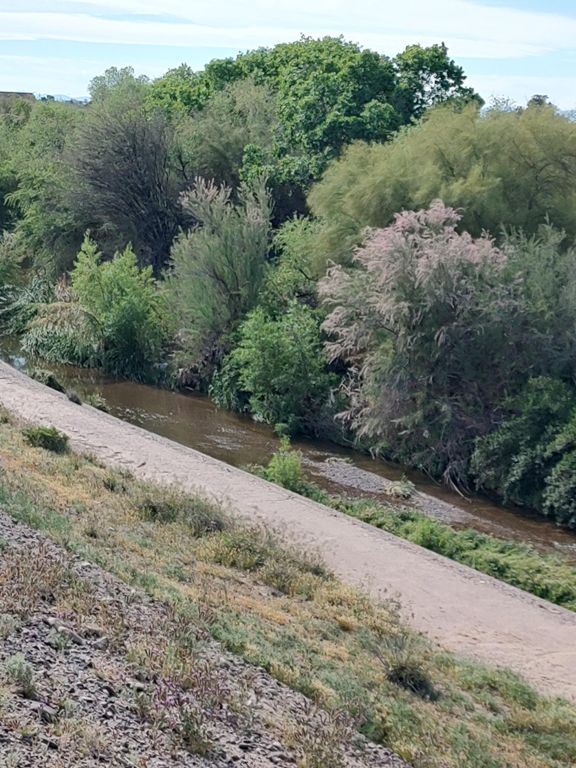
E. Santa Cruz River Dirt
1,13 mi
-13 pés
-0,2%
Bike shop lane North
0,21 mi
-13 pés
-0,8%
CDC to end of pecan trees
1,45 mi
-30 pés
-0,1%
Pecan Tree Sprint North
0,36 mi
-16 pés
-0,9%
Santa Cruz - Ina towards Cortaro
1,26 mi
-20 pés
-0,3%
ina to cortaro
1,22 mi
-26 pés
-0,4%