Strava
Telemóvel
Funcionalidades
Subscrever
Mapas
Histórias
Registar
Iniciar sessão
Mês passado
+ 68
The Hateful Eight
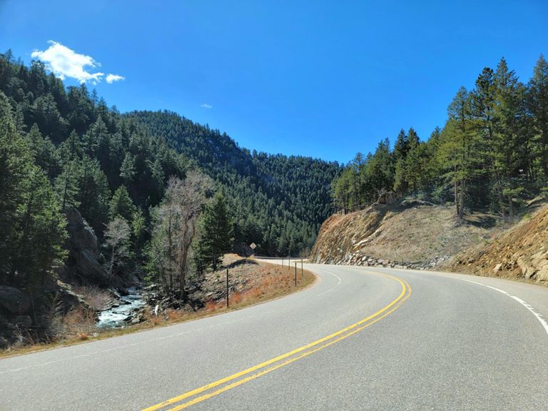
Rota de ciclismo
Guardar
Partilhar
Incorporar
Copiar URL
Exportar TCX
Exportar GPX
Imprimir
Detalhes
237,4 milhas
20 278 pés
"It's basically like doing the double triple bypass in one day"
Criado por
Eric Schoeller
24 de junho de 2016
·
Público
Rota e elevação
Segmentos
Nome
Distância
Dif. Elevação
Inclinação Média
Broadway - 27th to Table Mesa
0,91 milhas
23 pés
0,4%
Stop sign to Marshal intersection
0,92 milhas
43 pés
0,8%
93 to Ford Street
6,46 milhas
-443 pés
-0,7%
Colorado 93 Climb
0,53 milhas
276 pés
9,8%
Golden Gate Canyon Descent (119 to 93)
17,74 milhas
-3386 pés
-3,6%
Golden Gate Second Bomb descent
3,48 milhas
-1250 pés
-6,8%
Robinson Rd to Guy Hill Rd on GGC Rd
1,23 milhas
295 pés
3,4%
GGC descent: Crawford Gulch to Catamount (not starting in intersection)
3,74 milhas
-896 pés
-4,5%
93 to Twin Spruce
6,84 milhas
1 407 pés
3,9%
Coal Creek/93 to Wondervu General Store
10,67 milhas
2 316 pés
4,1%
Indian Peaks Classic KOM
0,97 milhas
220 pés
4,3%
Full Boulder Canyon Descent
13,59 milhas
-2684 pés
-3,7%
Boulder Canyon-downhill
6,02 milhas
-1391 pés
-4,4%
Boulder Canyon Sugarloaf to Pearl
4,33 milhas
-607 pés
-2,7%
Boulder Canyon - Descent from Fourmile
1,88 milhas
-289 pés
-2,9%
BC Downhill Sprint #6
0,15 milhas
-30 pés
-3,7%
Down The Pavement!
0,55 milhas
728 pés
5,2%
Amante to LeftHand
5,35 milhas
118 pés
0,2%
Broadway & 36 to 36 & Neva
2,44 milhas
-85 pés
-0,3%
Left Hand Section 1
2,57 milhas
318 pés
2,3%
36 to Ward General Store (Lefthand Climb)
16,52 milhas
3 353 pés
3,8%
Lefthand Canyon (36 to Ward)
16,53 milhas
4 140 pés
0,0%
36 to ward via Lefthand Canyon
16,73 milhas
3 655 pés
4,1%
LH first up
2,75 milhas
344 pés
2,4%
Lefthand to split.
4,80 milhas
669 pés
2,6%
FasCat 20 minute Field Test
8,78 milhas
1 617 pés
3,5%
7 mile AT effort up Left Hand
7,07 milhas
1 234 pés
3,3%
Lefthand -- Lee Hill to Sawmill
8,92 milhas
1 886 pés
4,0%
Lee Hill to LHFPD Station
1,25 milhas
315 pés
4,8%
Lickskillet to Ward
6,34 milhas
1 598 pés
4,8%
Ward Final Climb (official) - Tree turn to Peak to Peak
1,78 milhas
755 pés
8,0%
Final Climb to Ward ending at Water
0,96 milhas
400 pés
7,8%
Ward Store to P2P
0,46 milhas
157 pés
6,3%
72 & St Vrain - P2P - S St Vrain - Lyons
24,18 milhas
-3934 pés
-3,1%
P2P from Brainard to Overland (N-Bound)
4,19 milhas
-741 pés
-3,2%
HWY 36 Pinewood Climb
3,45 milhas
1 073 pés
5,9%
N St Vrain Dr Climb
0,89 milhas
325 pés
6,9%
Carter Lake North Climb
1,32 milhas
394 pés
5,5%
Not usually a head wind
0,66 milhas
322 pés
9,1%
Across the Dam
2,65 milhas
-59 pés
-0,3%
Carter lake down the steep stuff
0,77 milhas
-253 pés
-6,2%
Corkscrew
0,20 milhas
56 pés
5,2%
North 75th (Top Turn to Hwy 66)
1,96 milhas
-108 pés
-1,0%
Ute Hwy to Top of Hygiene Rd
1,62 milhas
184 pés
2,0%
Lyons to Boulder Time Trial Course
10,64 milhas
407 pés
0,5%
66 to Nelson
4,49 milhas
427 pés
1,6%
36 & Hygiene Rd to 36 & Lefthand Canyon Dr
4,34 milhas
269 pés
0,7%
Hwy 36 - St. Vrain to Neva
5,36 milhas
-223 pés
-0,2%
36 & Nelson Rd to 36 & Lefthand Canyon Dr
0,76 milhas
-56 pés
-1,2%
36 & Neva Rd to 36 & Broadway
2,55 milhas
85 pés
0,4%