
过去一个月


+ 70
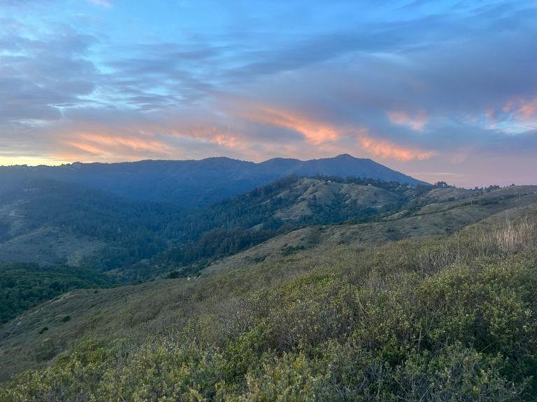
Dias Loop
跑步路线
比较难
10.37英里
2,027英尺
through Middle Green Gulch
创建者
Shawna Mitchell S

路线和海拔
路段
| 名字 | 距离 | 海拔高度差 | 平均坡度 |
|---|---|---|---|
| Miwok (Tennessee Valley to Miwok Cut-off) | 0.95英里 | 531英尺 | 9.6% |
| Miwok Grind to the Top | 0.41英里 | 331英尺 | 15.3% |
| Miwok Shortcut (Westbound) | 0.28英里 | 52英尺 | 3.5% |
| Miwok (Coyote Ridge to Hwy 1) | 1.50英里 | -331英尺 | -3.5% |
| Miwok Shoreline-Diaz | 0.38英里 | 102英尺 | 4.7% |
| Dias Ridge (Miwok to Hwy 1) | 2.63英里 | -751英尺 | -5.0% |
| Diaz Ridge to 1 | 2.52英里 | -758英尺 | -5.5% |
| Shoreline Hwy Climb | 0.50英里 | 141英尺 | 5.1% |
| Diaz Ridge (Descent) | 1.53英里 | -755英尺 | -9.3% |
| Coastal Trail Climb | 0.20英里 | 282英尺 | 26.6% |
| Middle Green Gulch Trail Climb | 0.23英里 | 161英尺 | 12.9% |
| Up Middle Green Gulch | 1.68英里 | 827英尺 | 9.3% |
| MGG gate to last hairpin | 0.24英里 | 171英尺 | 12.9% |
| MGG Up (cut the ends off) | 1.67英里 | 810英尺 | 9.1% |
| Fox Trail descent | 1.06英里 | -719英尺 | -12.8% |
| Tenn Valley Uphill Dash | 0.17英里 | 49英尺 | 5.4% |