


+ 49
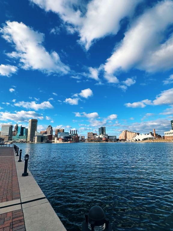
B2B Baltimore to Annapolis Route
Rota de ciclismo
Detalhes
29,78 milhas
1 070 pés
This is our route from Federal Hill to Annapolis Maryland for Bike to the Beach July 29th. Join us!
Criado por
C.j. Cross

Rota e elevação
Segmentos
| Nome | Distância | Dif. Elevação | Inclinação Média |
|---|---|---|---|
| Hull St Hustle | 0,33 milhas | -10 pés | -0,3% |
| Sugar Harbor (Domino to Rash Field) | 1,50 milhas | 16 pés | 0,0% |
| Under Armour Sprint | 0,25 milhas | -10 pés | -0,7% |
| Key Highway Light to Light | 0,73 milhas | -10 pés | -0,1% |
| Hammonds to BWI at Andover Middle | 3,54 milhas | 164 pés | 0,4% |
| N Hammonds Ferry Climb | 1,83 milhas | 167 pés | 1,7% |
| Gas Station to Mailbox | 0,83 milhas | 115 pés | 2,6% |
| Daves Long Hill Repeats | 0,81 milhas | 118 pés | 2,7% |
| Camp Meade -> Poplar | 0,48 milhas | -49 pés | -1,0% |
| bwi straight away | 1,81 milhas | -95 pés | -0,6% |
| ready, steady, go | 0,46 milhas | 13 pés | 0,4% |
| aviation dragstrip | 0,71 milhas | 13 pés | 0,1% |
| loop to 5th ave | 2,63 milhas | -52 pés | -0,1% |
| sawmill creek | 0,83 milhas | -26 pés | -0,4% |
| B&A trail Knee | 5,54 milhas | 95 pés | 0,1% |
| B&A Trail - Complete | 13,46 milhas | 148 pés | 0,1% |
| BnA 20 Out section | 6,40 milhas | -69 pés | -0,1% |
| 9 Mile Sprint | 9,22 milhas | 135 pés | 0,2% |
| Marley Station Uphill | 0,47 milhas | 23 pés | 0,9% |
| Mall to Jumpers Hole | 1,36 milhas | 36 pés | 0,2% |
| LA Fitness Finish | 0,50 milhas | 23 pés | 0,6% |
| The LA Fast Part | 0,29 milhas | 13 pés | 0,6% |
| B&A Trail LA Fitness to Old County RD | 6,86 milhas | 98 pés | 0,1% |
| Jumpers Hole to Froyo | 3,67 milhas | -85 pés | -0,2% |
| Jumper Hole to Earleigh Hts | 2,09 milhas | 46 pés | 0,0% |
| Waterford to Robinson | 3,17 milhas | 46 pés | 0,2% |
| East West Blvd Overpass to Earleigh Heights | 0,87 milhas | -20 pés | -0,5% |
| Bridge to Robinson | 2,27 milhas | -43 pés | -0,3% |
| Path to Earleigh Heights | 0,36 milhas | 7 pés | 0,3% |
| McBride Lane Climb | 0,40 milhas | -16 pés | -0,8% |
| The McBride Slide | 0,36 milhas | -13 pés | -0,1% |
| JBo's Robinson to Riggs | 0,52 milhas | -16 pés | -0,4% |
| B&A Severna Park to South End | 5,36 milhas | 108 pés | 0,2% |
| Sophie's to Hilltop | 3,19 milhas | 89 pés | 0,5% |
| B&A Round Bay Road to South Trail End | 4,43 milhas | 148 pés | 0,4% |
| Jones Station Road to Severn Way | 2,47 milhas | 69 pés | 0,5% |
| Severn way to boulters | 1,50 milhas | -95 pés | -1,2% |
| Trail Final Mile | 0,94 milhas | -59 pés | -0,8% |
| Sprint to the end | 0,90 milhas | -36 pés | -0,8% |
| Trail End | 0,30 milhas | 56 pés | 3,5% |
| Trail End 2 | 0,13 milhas | 30 pés | 3,7% |
| boulters way downhill | 0,67 milhas | -43 pés | -0,1% |