Strava
Móvel
Recursos
Assinar
Mapas
Histórias
Inscreva-se
Fazer login
+ 22
Napa to Sonoma via Mt. Veeder
Rota de Ciclismo
Salvar
Compartilhar
Incorporar
Copiar URL
Exportar TCX
Exportar GPX
Imprimir
Detalhes
60,37 mi
3.860 pés
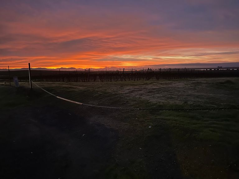
Mt. Veeder is two major hill climbs, very scenic, down to Glenn Ellen and on to Sonoma Square for lunch. A flat route back to Napa
Criado por
Ken M
8 de julho de 2014
·
Público
Rota e elevação
Segmentos
Nome
Distância
Dif. de elev.
Inclinação média
Bay Trail North from JFK
1,34 mi
13 pés
0,2%
Maxwell Bridge Summit West
0,34 mi
52 pés
3,0%
Maxwell Bridge West
0,42 mi
16 pés
0,2%
Buhman from Congress Valley climb
0,52 mi
125 pés
4,5%
Buhman North Up & Over
1,03 mi
-148 pés
-0,5%
What Speed Limit?
0,88 mi
-151 pés
-3,1%
Redwood rd to Mt Veeder asc
2,55 mi
207 pés
1,5%
Mt Veeder Rd Climb
0,27 mi
49 pés
2,1%
Mount Veeder SE Side
2,21 mi
-1.814 pés
-0,0%
Mt Veeder Rd 7.4% 1.5mile section
1,53 mi
610 pés
7,4%
Mt. Veeder Winery to top
1,16 mi
512 pés
8,3%
Mt Veeder Rd Climb
0,45 mi
262 pés
10,9%
Last kick of Northern bound Veeder
0,35 mi
180 pés
9,5%
Top of Veeder
2,04 mi
-118 pés
-0,7%
Veeder North Descent Top to Stop Sign
4,10 mi
-801 pés
-3,6%
Veeder downhill North
2,55 mi
-745 pés
-5,5%
Mt Veeder Descent Northbound, final two miles
2,24 mi
-689 pés
-5,7%
Mt Veeder North Side Descent
2,05 mi
-705 pés
-6,3%
Tim's Trinity
2,66 mi
1.004 pés
7,1%
Trinity Napa side, bridge to very top
2,92 mi
1.102 pés
7,0%
Trinity - Dry Creek to Wall Rd
1,34 mi
673 pés
9,3%
Trinity West - Bridge to Kim St
2,10 mi
1.014 pés
9,1%
Trinity: Dry Creek Bridge to Cavedale Rd
3,35 mi
1.073 pés
5,8%
Trinity Grade (from Dry Creek)
2,63 mi
1.073 pés
7,7%
Trinity Napa - Bridge to 2nd Vineyard
2,24 mi
1.030 pés
8,7%
Upper Trinity (from Dry Creek)
1,61 mi
692 pés
8,2%
Trinity Downhill
2,89 mi
-1.332 pés
-8,7%
Trinity from the fire house
3,09 mi
-1.388 pés
-8,4%
Trinity DH to Crash
0,96 mi
-377 pés
-7,4%
Trinity west downhill
2,80 mi
-1.352 pés
-9,1%
Arnold Rd to Sonoma
4,03 mi
-95 pés
-0,4%
Chauvet to Bridge Kicker
0,74 mi
-69 pés
-1,2%
Napa Rd. @ Denmark to Buena Vista on Ramal Rd.
6,14 mi
-79 pés
-0,0%
Burndale South
2,18 mi
-66 pés
-0,3%
Las Amigas Flyer
1,78 mi
-75 pés
-0,1%
Cuttings Wharf to Carneros Highway
1,53 mi
66 pés
0,8%
Golden Gate TT
1,30 mi
-23 pés
-0,2%
Maxwell Bridge Summit East
0,23 mi
39 pés
3,2%
Maxwell Bridge East
0,42 mi
-23 pés
-0,2%
Bay Trail South to JFK
1,33 mi
-7 pés
-0,1%