Strava
Móvil
Funciones
Suscribirse
Mapas
Historias
Registrarse
Iniciar sesión
+ 28
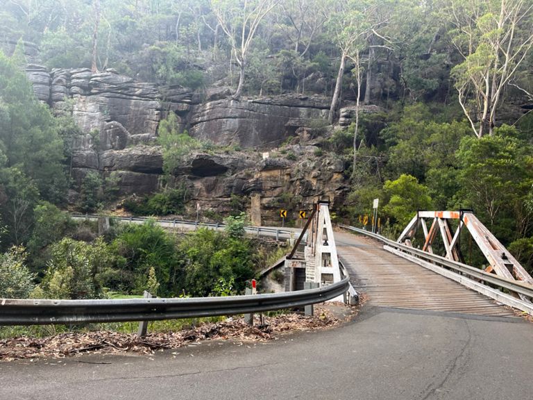
Sydney (Berowra) Gorges
Ruta ciclista
Guardar
Compartir
Insertar
Copiar URL
Exportar en TCX
Exportar en GPX
Imprimir
Moderada
24,61 mi
2.265 ft
Livelo route. Must take train to Berowra from Sydney to start.
Creada por
Dan Scannell
23 de julio de 2016
·
Público
Ruta y desnivel
Segmentos
Nombre
Distancia
Diferencia de desnivel
Pendiente media
The Slingshot
0,51 mi
-56 ft
-2,0 %
Berowra Water East Descent to last hairpin
1,90 mi
-505 ft
-5,0 %
Berowra Waters East descent
2,22 mi
-653 ft
-5,6 %
Berowra East technical section
1,44 mi
-410 ft
-5,4 %
Don't pay the ferryman - E to W
0,22 mi
75 ft
4,5 %
Berowra waters to Arcadia
3,81 mi
636 ft
2,9 %
Alpe d'Berowra Waters (Ferry to Jack Russell Rd West)l
1,49 mi
492 ft
6,2 %
Berowra Waters West
2,09 mi
646 ft
5,8 %
Barge to Bus-stop
12,76 mi
705 ft
0,9 %
Berrilee post-bathroom
1,99 mi
663 ft
6,3 %
berowra top bit
0,55 mi
164 ft
5,6 %
Covelo TTT (Chilcott Rd, Berrilee -> Galston Rd Roundabout)
6,18 mi
-157 ft
-0,1 %
Berowra-Galston Top Flat
6,81 mi
151 ft
0,1 %
Arcadia Road to Blacks Road uphill sprint
0,08 mi
49 ft
11,2 %
One Body: Power home.
2,01 mi
121 ft
0,4 %
Sasha's Pull
0,14 mi
46 ft
6,1 %
Galston Village - Pacific Hwy lights
6,33 mi
-591 ft
-0,1 %
Galson Gorge West East Combined
3,83 mi
-571 ft
-0,4 %
Galston West Descent 3/4 effort
1,18 mi
-285 ft
-4,6 %
Galston Gorge West descent
1,84 mi
-551 ft
-5,7 %
Galston after the roundabout
1,46 mi
-427 ft
-5,5 %
Galston East Climb from Bridge
1,94 mi
538 ft
5,2 %
Bridge to Mont
1,89 mi
531 ft
5,3 %
Galston East KOM
1,84 mi
505 ft
4,9 %
Gorge East bridge to H/Heights Sign
1,67 mi
449 ft
5,1 %
Galston East Asent
1,30 mi
390 ft
5,1 %
Galston Gorge - East Side Uphill
1,93 mi
551 ft
5,4 %
Galston Gorge (East Side)
1,88 mi
518 ft
5,2 %
Galston Base to Mt Colah Macca's
4,79 mi
561 ft
2,2 %
Gotta get to the shop!
2,09 mi
518 ft
4,4 %
Col de Galston (Eastern ascent, Bridge to Speed Trap)
1,55 mi
407 ft
4,9 %
Galston Gorge Climb
1,76 mi
463 ft
4,9 %
Galston East Last Km
0,57 mi
154 ft
5,1 %
Margaret Avenue Climb
0,27 mi
66 ft
4,1 %
Galston Road TT (south)
1,40 mi
59 ft
0,5 %
Somerville rd to watertank North
1,45 mi
20 ft
0,2 %
Sprint to Highway
0,38 mi
13 ft
0,3 %
Hookhams corner to Berowra Servo
5,63 mi
141 ft
0,1 %
Galston Rd to Nyara Rd
3,26 mi
118 ft
0,3 %
old road north
5,92 mi
141 ft
0,2 %
Bowlo to lights
0,28 mi
-23 ft
-0,2 %
Bobbo Approach
0,44 mi
82 ft
3,5 %
Asquith
0,53 mi
72 ft
2,6 %
Mt Colah-Mt Kuringai
1,93 mi
75 ft
0,3 %
Rubber Duckie
0,17 mi
30 ft
3,3 %
Mt Colah to Berowra
4,38 mi
36 ft
0,2 %
Mt Kuring-gai shops climb
0,24 mi
56 ft
4,5 %
Mt Kuring-gai Industrial Area climb (N)
0,31 mi
62 ft
3,7 %
la mancha
0,55 mi
56 ft
1,0 %
Twin Servo Berowra Climb
0,25 mi
30 ft
1,0 %