


+ 19
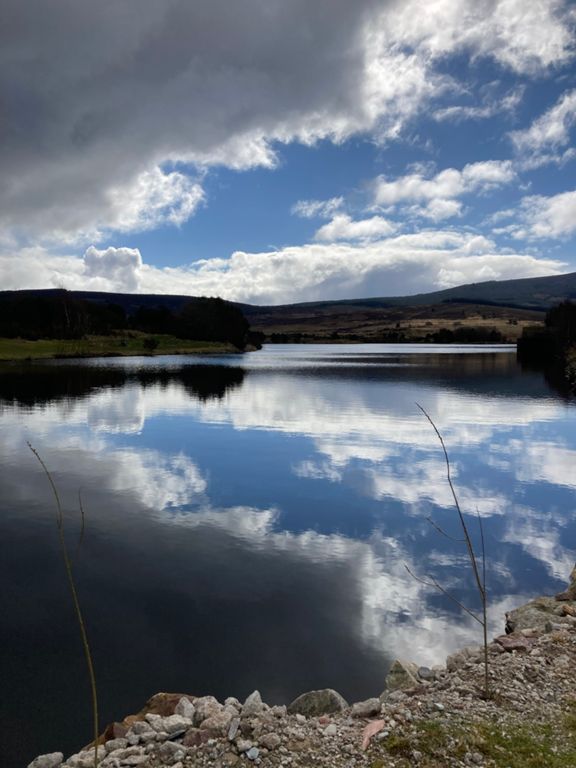
AAB 2017 cycle - Route Map
Rota de ciclismo
Detalhes
51,51 milhas
4 557 pés
Tough but fair
Criado por
steve m

Rota e elevação
Segmentos
| Nome | Distância | Dif. Elevação | Inclinação Média |
|---|---|---|---|
| garrol climb from loch | 1,36 milhas | 335 pés | 4,6% |
| Slug Rd Climb | 0,33 milhas | 105 pés | 5,9% |
| Garrol Descent - end before junction | 1,82 milhas | -341 pés | -3,6% |
| From the Bridge to the top | 1,80 milhas | 367 pés | 3,9% |
| A957 Easy Climb | 1,56 milhas | 305 pés | 3,7% |
| Slug Road Turn to Top | 0,77 milhas | 177 pés | 4,3% |
| slugger from the bend | 0,39 milhas | 112 pés | 5,5% |
| Slug Road East Descent | 1,88 milhas | -289 pés | -2,9% |
| Durris 1 Sprint | 0,85 milhas | -174 pés | -3,8% |
| Sharp Burst | 0,47 milhas | -36 pés | -0,4% |
| Swanley Full Eastbound | 4,07 milhas | -256 pés | -0,7% |
| Let gravity do its thing! | 0,52 milhas | -89 pés | -1,7% |
| Swanley climb | 2,02 milhas | 180 pés | 1,7% |
| Swanley Descent | 1,04 milhas | -226 pés | -4,0% |
| Up to Tewel | 0,56 milhas | 75 pés | 2,5% |
| Tewel to Burn of Elfhill | 1,94 milhas | 174 pés | 1,6% |
| Elfhill to the farm | 0,40 milhas | 30 pés | 1,4% |
| Annamuick Cottages Climb | 0,55 milhas | 400 pés | 13,6% |
| Up to plant | 0,34 milhas | 39 pés | 2,1% |
| Paldyfair Wood | 0,51 milhas | 118 pés | 4,4% |
| Up into the woods | 0,33 milhas | 118 pés | 6,5% |
| Crank it up! | 0,33 milhas | -33 pés | -1,8% |
| Drumtochty Glen Climb | 2,91 milhas | 223 pés | 1,4% |
| Drumtochty Westbound | 3,07 milhas | 210 pés | 1,1% |
| Clatterin' Brig Descent | 0,44 milhas | -177 pés | -7,6% |
| Clattering Brig to Cairn o' Mount | 1,97 milhas | 955 pés | 9,0% |
| Clattering Bir | 2,05 milhas | 1 060 pés | 9,8% |
| COM South Climb | 2,01 milhas | 1 047 pés | 9,8% |
| OFFICIAL 100Climbs No64 Cairn o' Mount | 2,04 milhas | 1 060 pés | 9,8% |
| For those of us that stop at the car park for the view.......... | 1,90 milhas | 935 pés | 9,3% |
| Cairn O'Mount South | 2,08 milhas | 1 050 pés | 9,5% |
| Cairn Ruin climb | 0,48 milhas | 308 pés | 11,9% |
| Section 1 COM | 0,73 milhas | 371 pés | 9,6% |
| Clatterin Brig - CoM Car Park | 1,86 milhas | 906 pés | 9,2% |
| Cafe to car park | 0,72 milhas | 308 pés | 8,0% |
| Section 2 COM | 1,25 milhas | 646 pés | 9,8% |
| Descend Cairn O'Mount to AA Box | 5,59 milhas | -974 pés | -3,3% |
| COM North Descent | 2,45 milhas | -741 pés | -5,7% |
| cairn to bridge of dye | 3,71 milhas | -951 pés | -4,8% |
| B974 descent | 1,36 milhas | -512 pés | -7,1% |
| Glen Dye Descent | 0,40 milhas | -197 pés | -9,3% |
| AA box to Feughside | 2,18 milhas | -164 pés | -1,3% |
| Reverse Kicker | 0,36 milhas | -92 pés | -4,8% |
| Monument Corsedardar | 1,71 milhas | 384 pés | 4,2% |
| B976 drop in | 1,41 milhas | -361 pés | -4,4% |
| Stuka | 0,73 milhas | -295 pés | -7,6% |
| Ballogie to Potties | 1,77 milhas | -92 pés | -0,9% |
| cammiewood dash | 0,73 milhas | 125 pés | 3,2% |
| B974 Junction Climb Toward Knockburn | 0,98 milhas | 190 pés | 3,7% |
| Knockburn triathlon final climb | 0,98 milhas | 105 pés | 1,3% |