
Mês passado

Mês passado


+ 146
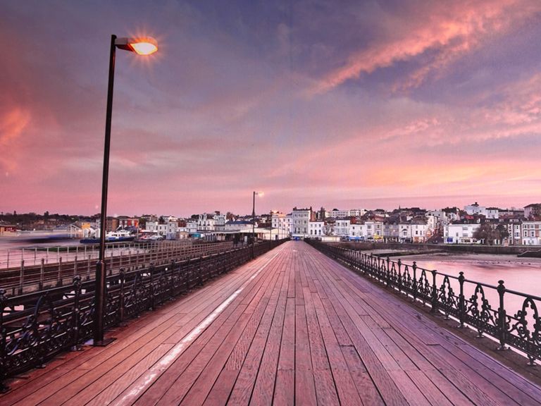
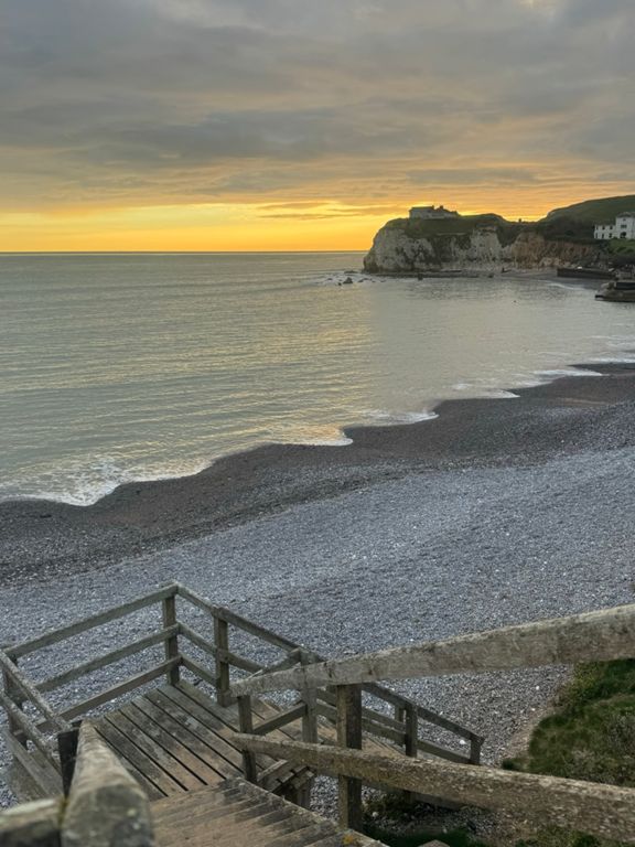
Isle of Wight Summer Ride
Rota de ciclismo
Detalhes
57,78 milhas
4 634 pés
Quite Hill in places I would say.
Criado por
Chris Freely 3c

Rota e elevação
Segmentos
| Nome | Distância | Dif. Elevação | Inclinação Média |
|---|---|---|---|
| Yar Bridge Sprint (East to West) | 0,25 milhas | -10 pés | -0,6% |
| Hallets Shute | 0,60 milhas | 118 pés | 3,7% |
| Bay to Brook | 3,11 milhas | 272 pés | 0,3% |
| Freshwater Bay's steep sprint | 0,13 milhas | 75 pés | 10,2% |
| The Military Wall | 0,13 milhas | 62 pés | 8,3% |
| freshwater bay to brighstone | 5,37 milhas | 167 pés | 0,2% |
| Freshy Bay Short | 0,68 milhas | 217 pés | 6,0% |
| Afton Plunge | 0,82 milhas | -190 pés | -3,3% |
| Military Road east | 1,65 milhas | -157 pés | -0,8% |
| The Compton Farm plunge and rise | 0,46 milhas | 105 pés | 2,0% |
| Compton Rapid | 0,50 milhas | -141 pés | -5,1% |
| Brook to Brighstone | 2,24 milhas | 69 pés | 0,4% |
| Pearl | 0,28 milhas | 33 pés | 1,6% |
| Climb to Blackgang | 3,55 milhas | 479 pés | 2,5% |
| St Catherine's Down for those with a little personal responsibility | 1,74 milhas | 417 pés | 4,4% |
| Blackgang Bottom | 0,49 milhas | 167 pés | 6,3% |
| Blackgang to Niton shute | 0,97 milhas | -164 pés | -3,2% |
| Get outta Niton | 0,70 milhas | -69 pés | -1,8% |
| Gills Cliff Road Short | 0,25 milhas | 59 pés | 4,3% |
| Marshcombe Shute | 0,53 milhas | 105 pés | 1,9% |
| Sandown Rd to Yaverland Rd Climb | 0,30 milhas | 105 pés | 6,2% |
| Sandown Rd To Hill Way Thong | 1,50 milhas | -144 pés | -0,3% |
| Sandown Rd Downhill | 0,65 milhas | -98 pés | -2,8% |
| Hillway Thong To Mill Road Round About | 0,83 milhas | 82 pés | 1,3% |
| Airport slog | 0,47 milhas | 85 pés | 2,7% |
| Bembridge to St. Helens | 0,82 milhas | -49 pés | -0,6% |
| St Helens hill | 0,34 milhas | 92 pés | 5,1% |
| St Helens Green To Atrills Bend | 0,55 milhas | 59 pés | 1,8% |
| Eddington Rd Climb | 0,24 milhas | 49 pés | 3,7% |
| Nettlestone Hill | 0,48 milhas | -89 pés | -2,6% |
| Pondwell Hill | 0,22 milhas | 66 pés | 5,5% |
| what goes down | 0,38 milhas | 95 pés | 3,2% |
| the high st hill | 0,32 milhas | 92 pés | 5,3% |
| Brocks Copse Rd Climb | 0,28 milhas | 59 pés | 3,9% |
| Alverstone Sprint | 0,18 milhas | 36 pés | 3,7% |
| Pelican Stomp | 0,08 milhas | 20 pés | 4,8% |
| Hold that FERRY | 0,94 milhas | -108 pés | -2,1% |
| Mill Hill Intimidate Climb | 0,17 milhas | 56 pés | 6,0% |
| Vic Rd up to Park Rd | 0,08 milhas | 43 pés | 9,3% |
| Fair Place | 0,45 milhas | 23 pés | 0,7% |
| Nodes Road - Rew Street | 1,00 milhas | -157 pés | -2,5% |
| Full Rolls Out | 0,95 milhas | 98 pés | 0,4% |
| Rolls Hill (west bound) | 0,30 milhas | 89 pés | 5,4% |
| Porchfield Lock Out | 0,53 milhas | -7 pés | 0,0% |
| Hell of The North! | 0,38 milhas | 36 pés | 1,4% |
| corf drag | 0,61 milhas | 36 pés | 1,1% |
| Caution: Cyclists in middle of the road | 0,31 milhas | -30 pés | -0,8% |
| Ningwood Hill | 0,38 milhas | 82 pés | 3,9% |
| Ningwood 10 Start effort | 1,11 milhas | -62 pés | -0,8% |
| pink or brown | 0,17 milhas | -30 pés | -3,0% |