


+ 7
Spider cafe loop
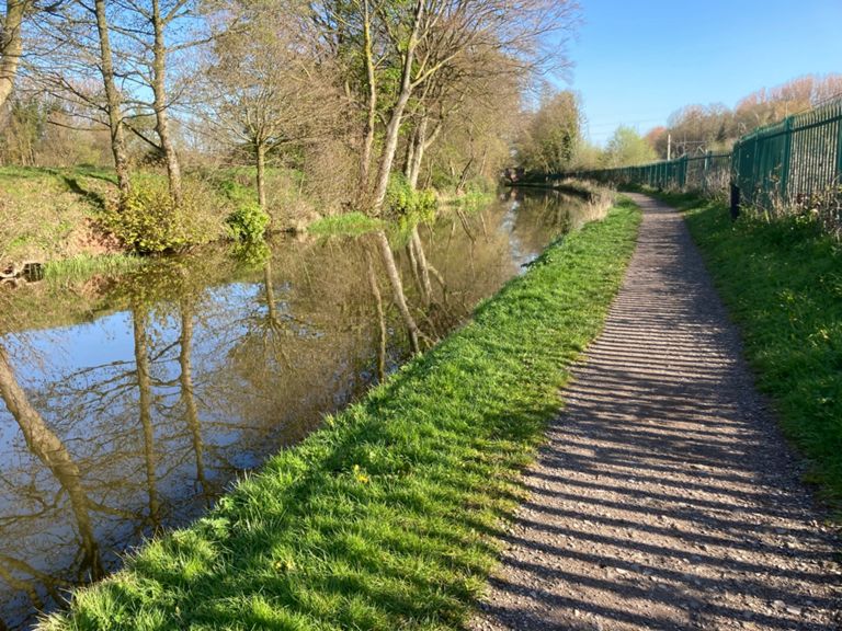
Rota de ciclismo
Detalhes
68,75 milhas
3 176 pés
Criado por
Jimmy S

Rota e elevação
Segmentos
| Nome | Distância | Dif. Elevação | Inclinação Média |
|---|---|---|---|
| Poacher's Sprint | 0,31 milhas | 16 pés | 0,0% |
| B5038 Whitmore Road Ascent | 0,99 milhas | 72 pés | 1,2% |
| Stobbarts grind | 1,70 milhas | 157 pés | 1,7% |
| Grange Wood climb | 0,66 milhas | 108 pés | 2,9% |
| Whitmore to Baldwin's Gate climb | 0,77 milhas | 56 pés | 0,8% |
| Climbing from captain Mainwaring | 0,40 milhas | 49 pés | 1,8% |
| Camp Hill West | 1,34 milhas | 187 pés | 1,5% |
| Rock and Roll | 0,85 milhas | -52 pés | -0,1% |
| Tag Lane Tester | 0,67 milhas | 108 pés | 3,0% |
| a pain in the Ches-wardine | 0,30 milhas | 49 pés | 3,1% |
| Ches towards newport | 3,40 milhas | -184 pés | -0,9% |
| Cheswardine to newport run off | 4,58 milhas | -187 pés | -0,7% |
| Chester Road Climb | 0,31 milhas | 95 pés | 5,7% |
| Chester road climb short | 0,13 milhas | 56 pés | 7,4% |
| deer park sprint | 0,70 milhas | -102 pés | -2,2% |
| Nova Cycles to The Roundabout | 0,73 milhas | -43 pés | -0,2% |
| MM Climb through Lilleshall | 2,04 milhas | 184 pés | 1,3% |
| Mind the speedbumps out | 0,77 milhas | -52 pés | -1,1% |
| Hilton Climb | 0,34 milhas | 66 pés | 3,1% |
| Lizard Lane (South) | 2,07 milhas | -56 pés | -0,5% |
| Shackerley motorway sprint | 0,60 milhas | 26 pés | 0,5% |
| Shackerley Lane Climb | 0,32 milhas | 13 pés | 0,7% |
| White Ladies Sign to Boscobel Entrance | 0,78 milhas | 118 pés | 2,9% |
| Bishop Going Down | 0,71 milhas | -85 pés | -1,3% |
| Sprint upto the A5 | 0,19 milhas | 39 pés | 3,7% |
| Bradford Arms to Church Eaton (not quite) | 5,19 milhas | -157 pés | -0,5% |
| MM Into Wheaton Aston | 2,44 milhas | -131 pés | -1,0% |
| Canal to Roman Road | 0,56 milhas | -23 pés | -0,1% |
| Slab Lane to bend Pre-Eaton | 1,26 milhas | -20 pés | -0,2% |
| Red Lion Farm | 2,42 milhas | 69 pés | 0,3% |
| Wood House Lane - Ranton | 1,77 milhas | -33 pés | -0,0% |
| Ellenhall reverse | 2,30 milhas | 75 pés | 0,4% |
| Ellenhall Climb | 0,15 milhas | 30 pés | 3,8% |
| Stafford Road to Stone Road | 0,65 milhas | -85 pés | -2,5% |
| Little butza | 0,28 milhas | 72 pés | 4,8% |
| Norton Bridge Climb | 0,15 milhas | 13 pés | 1,6% |
| uphill burst to yarnfield | 0,11 milhas | 13 pés | 2,2% |
| Izaak Walton Golf Club to Walton | 2,46 milhas | -92 pés | -0,2% |
| Roundabout to M6 towards Stone | 1,24 milhas | 75 pés | 1,1% |
| WaltonHill /\ | 0,80 milhas | -75 pés | -1,8% |
| down to walton | 0,49 milhas | -62 pés | -2,4% |
| walton to stone 1 way system | 0,28 milhas | -20 pés | -1,1% |
| the star | 0,22 milhas | 7 pés | 0,2% |
| Piccolos up blast | 0,19 milhas | 23 pés | 1,4% |
| Stone - Barlaston back road | 2,78 milhas | 66 pés | 0,3% |
| Narrow Boat Blast | 0,15 milhas | 13 pés | 1,3% |
| Meaford Road | 1,67 milhas | 66 pés | 0,2% |
| Barlaston-Trentham (Old rd) | 1,57 milhas | 69 pés | 0,5% |
| Barlaston Bash | 0,85 milhas | 69 pés | 1,5% |
| In the rough | 0,79 milhas | 59 pés | 0,7% |