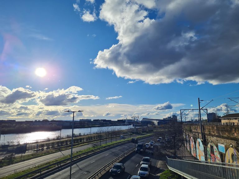
| Kelso Street To South Street | 0.69 mi | 23 ft | 0.1% |
| Sprint 5 | 0.11 mi | 7 ft | 0.2% |
| Anniesland Rd lights to lights | 0.52 mi | 16 ft | 0.5% |
| Anniesland Road | 0.59 mi | 23 ft | 0.0% |
| Temple lights to hill | 0.25 mi | 33 ft | 2.5% |
| Switchback road climb | 1.10 mi | 52 ft | 0.3% |
| Canniesburn to Milngavie | 1.88 mi | 56 ft | 0.4% |
| Hillfoot to Kilmardinny Ave | 0.43 mi | 49 ft | 1.7% |
| Milngavie road northbound | 0.72 mi | -33 ft | -0.3% |
| Milngavie Rd climb | 0.18 mi | 49 ft | 5.0% |
| nearly out the jungle | 0.33 mi | 30 ft | 1.5% |
| sprint to park rd | 0.28 mi | 33 ft | 2.0% |
| climb out of Milngavie | 0.37 mi | 95 ft | 4.8% |
| Craigmaddie | 0.96 mi | 85 ft | 1.7% |
| Start of lanes to Torrance sign | 3.72 mi | -279 ft | -1.4% |
| Craigmaddie Southbound | 1.89 mi | -243 ft | -2.2% |
| Wee dipper | 0.23 mi | -105 ft | -7.7% |
| Craigmaddie junction to Torrance 30MPH sign | 2.16 mi | -62 ft | -0.3% |
| Craigmaddie to solid rock #chcsoftcore | 0.78 mi | -52 ft | -1.0% |
| Torrance sign | 0.98 mi | -16 ft | -0.0% |
| Torrance Main St | 0.28 mi | 30 ft | 1.4% |
| Torrance to Lennoxtown | 2.44 mi | 75 ft | 0.2% |
| heading out of torrance | 0.58 mi | 52 ft | 1.7% |
| campsie rd lump | 0.15 mi | 46 ft | 5.6% |
| Going for the chase | 1.13 mi | -43 ft | -0.4% |
| MoC to MaC | 1.52 mi | -75 ft | -0.6% |
| Redmoss-Dulux | 1.09 mi | -69 ft | -0.9% |
| Lenzie Climb to Speed Camera | 0.16 mi | 30 ft | 2.5% |
| Lenzie to Westerhill Rd | 1.89 mi | -69 ft | -0.0% |
| Lenzie Sprint West | 0.55 mi | 46 ft | 0.5% |
| crosshill road climb | 0.30 mi | 52 ft | 3.2% |
| Robroyston hill climb (longer) | 0.36 mi | 75 ft | 4.0% |
| Wee yin | 0.18 mi | 36 ft | 3.5% |
| Royston Road Flat Opposite Direction | 0.40 mi | 10 ft | 0.2% |
| Royston Descent | 0.71 mi | -85 ft | -2.0% |
| Royston Road Sprint | 0.50 mi | -13 ft | -0.5% |
| Under the M8 | 0.14 mi | -26 ft | -2.3% |
| Clyde St | 0.13 mi | -7 ft | -0.8% |
| Clydeside Cycle Path Dash. | 1.28 mi | 33 ft | 0.0% |
| Eurohostel Dash | 0.23 mi | -7 ft | -0.5% |
| along clyde-side to lancefield q | 1.21 mi | -30 ft | -0.2% |
| Commerce St Bridge to M8 bridge | 0.39 mi | 26 ft | 0.6% |
| Riverside Royale | 0.82 mi | -23 ft | 0.0% |
| Bus lane west | 0.31 mi | -10 ft | -0.2% |
| Kingston to squinty | 0.44 mi | -23 ft | -0.8% |
| Beside the Clyde | 0.39 mi | -20 ft | -0.7% |
| stob road to roundabout | 0.08 mi | 3 ft | 0.4% |
| Stobocross Sprint | 0.36 mi | 13 ft | 0.1% |
| riverside road | 0.67 mi | 20 ft | 0.4% |
| Castlebank BP to Roundabout | 0.40 mi | -16 ft | -0.6% |


