
Semana passada

Mês passado


+ 13
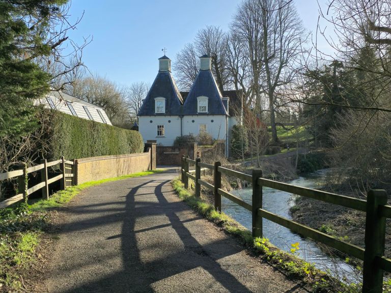
preston bighton froyle
Rota de ciclismo
Detalhes
47,95 milhas
2 966 pés
preston bighton froyle
Criado por
Miles Eakers

Rota e elevação
Segmentos
| Nome | Distância | Dif. Elevação | Inclinação Média |
|---|---|---|---|
| Medstead Rd Climb | 1,32 milhas | 295 pés | 4,2% |
| alton abbey steep bit | 0,56 milhas | 151 pés | 5,0% |
| The Wall | 0,33 milhas | 16 pés | 0,8% |
| Kings kom Hill | 0,30 milhas | 151 pés | 9,2% |
| Hustle Hussell | 0,97 milhas | -26 pés | -0,4% |
| Red Hill to railway bridge | 0,69 milhas | 72 pés | 1,1% |
| Newton Lane | 1,31 milhas | 207 pés | 3,0% |
| Out of Selborne | 0,45 milhas | 72 pés | 3,0% |
| Little Wood Copse | 0,45 milhas | -59 pés | -1,3% |
| selbourne road to east worldham | 1,29 milhas | 52 pés | 0,5% |
| Wyck Lan to Crossroads | 2,23 milhas | -141 pés | -1,2% |
| isington 2 | 0,55 milhas | 98 pés | 2,4% |
| Isington Lane | 0,86 milhas | -46 pés | -0,1% |
| Isington N | 0,33 milhas | 43 pés | 2,1% |
| A31 to Old Odiham Road | 4,75 milhas | 390 pés | 1,0% |
| First Part of Froyle Climb | 2,26 milhas | 243 pés | 2,0% |
| A31 to top of Froyle Road | 3,50 milhas | 381 pés | 2,1% |
| Anchor climb | 3,59 milhas | 394 pés | 1,9% |
| Highnam Copse Climb | 1,24 milhas | 174 pés | 2,6% |
| Froyle to Long Sutton Junction | 1,14 milhas | 171 pés | 2,8% |
| WHV TT1 Steepest Bit | 0,46 milhas | 115 pés | 4,6% |
| Highnam Copse Wooded Section | 0,38 milhas | 92 pés | 4,6% |
| 2nd Part of Froyle Climb | 2,46 milhas | 154 pés | 0,2% |
| WHV Second Ramp | 0,35 milhas | 52 pés | 2,7% |
| Brockham hill Ln to Golden Pot | 0,74 milhas | -118 pés | -2,7% |
| The Ave | 1,96 milhas | 82 pés | 0,0% |
| Golden Pot to Airfield Junction | 1,15 milhas | 82 pés | 0,9% |
| Back Lane | 1,19 milhas | -46 pés | -0,3% |
| Lack Bane | 0,59 milhas | -39 pés | 0,0% |
| Bagmore Lane W: A339 to Red Lane | 1,66 milhas | -85 pés | -1,0% |
| Red Lane Climb | 0,25 milhas | 69 pés | 5,0% |
| Spain Ln to Bradley | 0,95 milhas | -177 pés | -3,1% |
| Moundsmere Close->B3046 | 1,31 milhas | -72 pés | -1,0% |
| Moundsmere Close Climb | 0,60 milhas | -26 pés | -0,8% |
| Spiers Lane Southbound Climb *S* | 2,45 milhas | 148 pés | 1,1% |
| Spiers Lane south | 3,69 milhas | -190 pés | -0,0% |
| spiers ln steep bit | 0,21 milhas | 62 pés | 5,1% |
| B3046 to Old Alresford | 0,82 milhas | -36 pés | -0,8% |
| Alpe du Old Alresford - JPABRR | 0,59 milhas | 23 pés | 0,1% |
| old alresford | 0,27 milhas | 36 pés | 1,8% |
| Old Alresford to Medstead | 4,97 milhas | 436 pés | 1,6% |
| Bighton Lane (E) climb | 1,04 milhas | 102 pés | 1,7% |
| Bighton Lane to Common Hill | 4,40 milhas | 423 pés | 1,8% |
| Bighton to Medstead | 3,11 milhas | 358 pés | 2,2% |
| Bighton to Medstead climb *S* | 2,87 milhas | 371 pés | 2,4% |
| Medstead climb | 1,06 milhas | 213 pés | 3,8% |
| Common Hill (short) | 0,59 milhas | 131 pés | 4,2% |
| Medstead Rd Climb | 0,37 milhas | -112 pés | -5,6% |
| Kings Hill Sprint (down) | 0,45 milhas | -141 pés | -5,9% |
| King's Hill (Down) - Beech | 0,80 milhas | -233 pés | -5,5% |